Starting point: Mašun (1022 m)
| Lat/Lon: | 45,62826°N 14,36613°E |
| |
Time of walking: 3 h 35 min
Difficulty: easy marked way
Altitude difference: 672 m
Altitude difference po putu: 725 m
Map: Snežnik 1:50.000
Recommended equipment (summer):
Recommended equipment (winter): ice axe, crampons
Views: 1.214
 | 3 people like this post |
Access to the starting point:
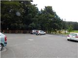
From Ilirska Bistrica or Pivka, drive to Knežak, and from there follow the signs for Mašun. It is then a few kilometres drive along a slightly winding but fully asphalted road to Mašun. Park in the asphalted parking lot near the Mašun guesthouse.
Path description:
From the parking lot, walk to the nearby crossroads, from which you continue slightly right in the direction of the European footpaths E6 and Snežnik. At first you are still walking on an asphalt road, but the asphalt soon ends and you continue on a wider dirt road, which you follow until you reach a more distinct left turn. At the bend, which takes about 20 minutes to reach, turn right onto the marked cart track, which quickly turns into a less well-trodden forest track, where you follow the European footpath markings. A little further on, you reach a dirt road, which you turn onto just as you reach a turning point, and from the turning point go slightly left and continue along cart track, which initially descends slightly, but then continues without any significant change in elevation. At a small crossroads, where the wider cart track turns slightly to the right, go straight ahead and then reach another forest road, which you follow to the left. There are a couple of small crossroads where you continue straight on, and when you reach a wider dirt road, follow it to the right in the direction of Snežnik and Sviščakov. The way forward leads us past the Škrli huts, at a marked crossroads where a road sign for Snežnik and Sviščaki points to the right and continue straight ahead and follow the markings. A few minutes further on, the signs for the European footpath E6 direct us to the right to the steeper cart track, which we climb through the forest. At a small fork in the tracks, go right, and at a slightly higher level, take the cart track slightly left onto a footpath, which soon reaches a dirt road. Follow the road briefly to the left, and then faint signs point you slightly right, where you climb over a newer clearing. When you reach the road again, follow it up over the left-hand serpentine, and at an abandoned byre, bear right onto a minor road, where you continue to follow the signs for the E6 route. At a nearby crossroads, bear left again, and when the road turns sharp left, leave it and continue right onto a waymarked path, which after a few minutes reaches the next road, and follow it to the right. There is a moderate climb on a dirt road, and when you reach a crossroads where the E6 trail branches off to the left, and the road continues on to Sviščaki, bear left onto a track following the signs for the European E6 footpath. The cart track soon turns into a steeper footpath climbing through beech woods. When you reach the initially indistinct forested ridge of Maly Snežnik, you join the path from Grda Draga, where the classic Knafelč markings also appear for the first time. Continue in the direction of Snežnik and Malá Snežnik, this time on a slightly steeper path that leads past the memorial. Above the memorial, we get our first extensive view, which stretches across the Nanos all the way to the Alps. We continue our ascent along the path that leads us through the dwarf pines. When the steepness subsides, we reach the old trigonometric point stone, located at the top, or a few steps below the top of Mali Snežnik, from where we have a view of Veliki Snežnik, Istria, Primorska, Notranjska, etc.
Description and pictures refer to the situation in September 2020.

Pictures:
 1
1 2
2 3
3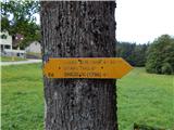 4
4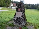 5
5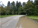 6
6 7
7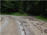 8
8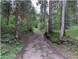 9
9 10
10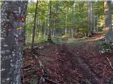 11
11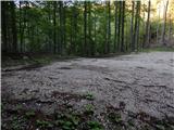 12
12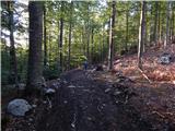 13
13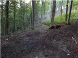 14
14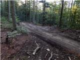 15
15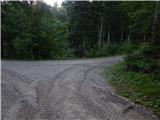 16
16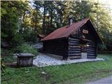 17
17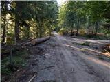 18
18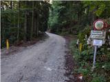 19
19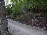 20
20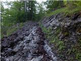 21
21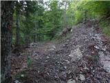 22
22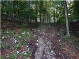 23
23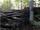 24
24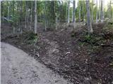 25
25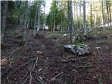 26
26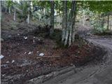 27
27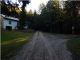 28
28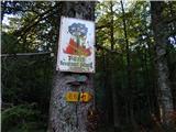 29
29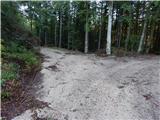 30
30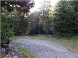 31
31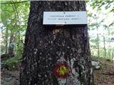 32
32 33
33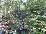 34
34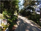 35
35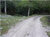 36
36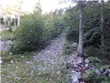 37
37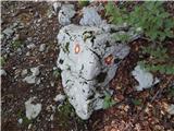 38
38 39
39 40
40 41
41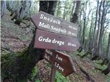 42
42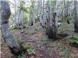 43
43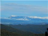 44
44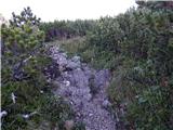 45
45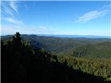 46
46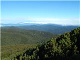 47
47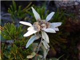 48
48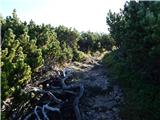 49
49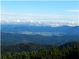 50
50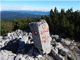 51
51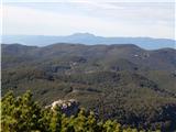 52
52
Discussion about the trail Mašun - Mali Snežnik
|
| marco24. 09. 2020 |
Na Malem Snežniku in nasploh na Snežniku ni mejnih kamnov.
Tista betonska zadeva na M. Snežniku je trigonometrična kota, ki označuje pomembnejšo geodetsko točko.
Če se ne motim, je na Malem 3. reda, na Velikem Snežniku pa 1. reda.
Lp
|
|
|
|
| Tadej24. 09. 2020 |
Hvala za opozorilo. Sem popravil.
|
|
|
|
| padez26. 01. 2021 |
Mene pa zanima, zakaj ze vec kot mesec dni ne delata kameri na Snezniku in na Sviscakih. Za Sneznik bi se nekako razimel, ampak Sviscaki? Cesta je asfaltirana in spluzena, namesto slike pa tema...
|
|
|
|
| marco26. 01. 2021 |
Razlog zakaj kameri na Snežniku in na Sviščakih ne delata, je v svojem bistvu zelo enostaven...in hkrati zelo zakompliciran...kakor marsikaj v tem sodobnem času...pa naj preidem na bistvo.
Sistem so prostovoljno vzpostavili lokalni radioamaterji in planinci in poenostavljeno povedano deluje takole:
Signal Wi-Fi pride po zračni liniji na Sviščake s Snežnika.
Na Snežnik pride Wi-Fi signal s Slavnika.
Kolikor je meni znano pride signal do Slavnika po kablu do radioameterske postojanke na vrhu, ki ga kot že omenjeno pošlje naprej do Snežnika.
Vse to deluje na radioamaterski tehnologiji, ki je sedaj ne bi razlagal.
Problem nastane na Snežniku, kjer se vsa ta sistem sesuje zaradi oblačnosti, snega, žleda, srena, slabega vremena itd.
Namreč v koči na Snežniku vsa spremljajoča hi-tec oprema potrebuje napajanje - beri elektriko - in ta elektrika je odvisna od fotovoltaičnih celic, ki so pozimi večinoma prekrite z zimskimi radostmi, kot sneg, sren, žled...in tudi ko se te celice očistijo (kar se lokalci vztrajno trudimo), nam ostane še vedno problem z oddajnikom, ki pa je visoko pod slemenom koče in čigar čiščenje in vzdrževanje je v danih razmerah če ne že zahtevno, pa zagotovo zelo problematično oziroma nevarno.
Vsem Hribonetvcem pa vseeno hvala za razumevanje.
Lp in srečno!
|
|
|
|
| marco26. 01. 2021 |
In takšna je podoba celic in 'antene':
|
|
|
|
| padez27. 01. 2021 |
Marko, hvala za razlago...
|
|
|