Cenc - Špičasti vrh (on marked path)
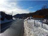
Starting point: Cenc (850 m)
| Lat/Lon: | 45,9087°N 14,0236°E |
| |
Name of path: on marked path
Time of walking: 1 h 30 min
Difficulty: easy marked way
Altitude difference: 278 m
Altitude difference po putu: 325 m
Map: Nanos 1:50.000
Recommended equipment (summer):
Recommended equipment (winter): crampons
Views: 5.902
 | 1 person likes this post |
Access to the starting point:
a) From the road Logatec - Idrija, at Godovič, take the road towards Črnji Vrho and Ajdovščina. After Črnji Vrh the road starts to climb in a few serpentines and then flattens out a bit. At this less winding part you will come to a crossroads where the road to Javornik branches off to the left, and at the same place you will see a macadam road on the right and alongside it mountain direction signs for Špičasti vrh. Turn right here and then park in a suitable place along the road.
b) From the Vipava valley, take the Col, and then continue driving towards Idrija. At the point where the road to Javornik turns off to the right, take a sharp left onto a macadam road, along which you will see mountain direction signs. Park in a suitable roadside parking space along the road.
Path description:
From the crossroads at Cenec continue along the macadam road in the route Špičasti vrh. The ascending road first leads under the power line, then turns slightly to the right. At this point, the marked cart track branches off to the left and the route continues. The cart track first climbs crosswise through the forest, then the forest thins out and the trail opens up to a beautiful view of Nanos, the western peaks of Hrušice, and, a little higher up, of Malo Polje. After a few minutes, the path turns right and leads to a macadam road, which is reached just at a small pass, where there is a marked crossroads.
From the crossroads go right in the route Špičasti vrh (slightly left Špiček) and continue along the narrower road, which begins to descend gently. After a short descent, you reach a small wooden hut, which you pass on the left. From the hut, descend a little further and then reach an older house, in front of which you continue uphill to the right. After the house, the path enters the woods, through which it climbs gently to moderately along cart track. At a higher level, cart track becomes completely flat and turns left. There is a slight downhill, then out of the woods, into a clearing, which is followed in 10 paces to a dirt road, which is followed to the right. Follow the road to the first crossroads, and from there continue straight ahead to the nearby crossroads (the road to Cenec leads off to the right), where the road turns left. A little further on, the road leads us out of the forest, and a little further on to the Gornji Žgavec homestead, which we pass on the left. There is a short descent, and then, when the road starts to climb again, it leads us into the narrower lane of the forest. After a few minutes of gentle ascent, we arrive at the next crossroads, where the unmarked path over the Novina joins from the right.
From the crossroads, at which there is a wooden cross, continue straight ahead and follow the path across the meadow and in a few minutes climb up to the homestead Na Kobilici, or just to the road a few 10 m in front of the homestead.
Once on the road, follow it to the right, which leads to a less distinct preval with beautiful views of the surrounding hills. Here continue left along cart track in the route Špičasti vrh. After some 10 steps, cart track splits into two parts, and we continue on the right (the left cart track leads to the top of a small ski lift), which passes into the forest, where we can already see the markings. Then, after a few minutes of traversing to the right, you will see a mark on one of the trees, which directs you to the left on the slope. Follow the marked trail for a few minutes to the ridge, where the marked trail turns right. Walk along the wooded ridge for a short distance and then reach the top of Špičasti vrh, where the path climbs slightly steeper. After a few minutes of climbing, you will reach the top, where there is a wooden lookout tower with a beautiful view on all sides. Description and figures refer to the situation in 2015 (January).

Pictures:
 1
1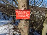 2
2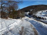 3
3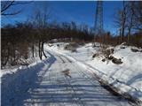 4
4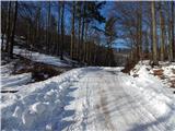 5
5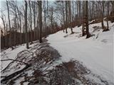 6
6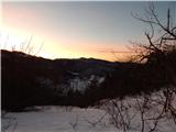 7
7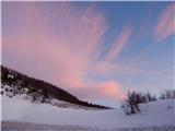 8
8 9
9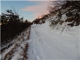 10
10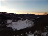 11
11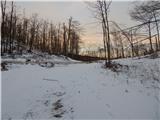 12
12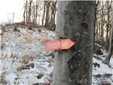 13
13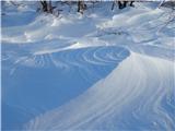 14
14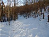 15
15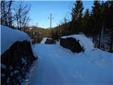 16
16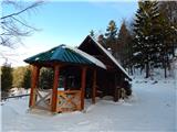 17
17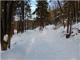 18
18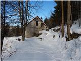 19
19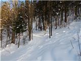 20
20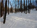 21
21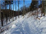 22
22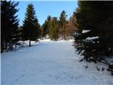 23
23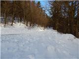 24
24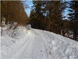 25
25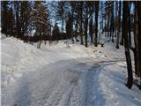 26
26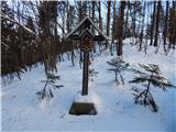 27
27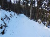 28
28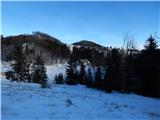 29
29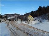 30
30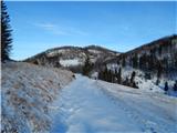 31
31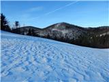 32
32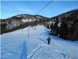 33
33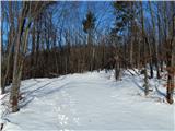 34
34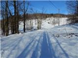 35
35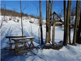 36
36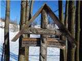 37
37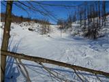 38
38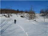 39
39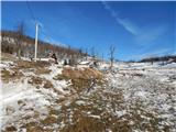 40
40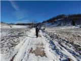 41
41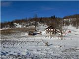 42
42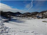 43
43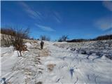 44
44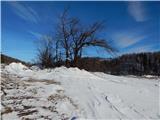 45
45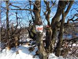 46
46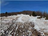 47
47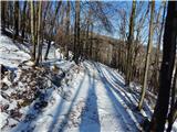 48
48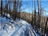 49
49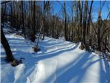 50
50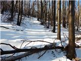 51
51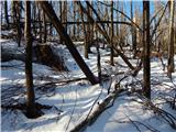 52
52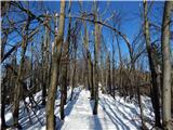 53
53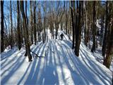 54
54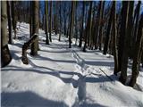 55
55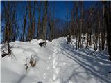 56
56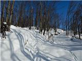 57
57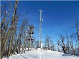 58
58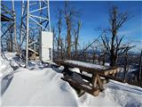 59
59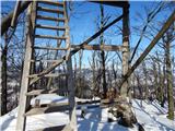 60
60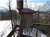 61
61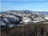 62
62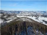 63
63 64
64
Discussion about the trail Cenc - Špičasti vrh (on marked path)
|
| BT8814. 01. 2017 |
Ju3 jo mahnem na tale spicast vrh
|
|
|
|
| donat15. 01. 2017 |
če greš prvič, je kr mal slabo označeno. šel pred 1 tednom. l.p.
|
|
|
|
| BT8815. 01. 2017 |
Ja mas prav ce ne ves kje še posebej po snegu težko dobiš pot oz. Je malce zgubljanja.
Drugace pa bil ze mnogokrat oz.vsakic,ko je se peljem tam mimo ga obiscem tudi poleti.Je pa vsako leto v mesecu juniju tudi gorski tek na tale vrh in je zelo lepo.
|
|
|
|
| soraya200222. 11. 2020 |
Glede na to, da je zadnji komentar iz leta 2017....en popravek.
Zelo lep izlet, tudi z otroci. Celotna pot odlično markirana (hvala markacistom), razgled s stolpa božanski. Namesto preobljudenih klasičnih destinacij iz Vipavske doline (Čaven, Mali Golak, Otliško okno....) idealna odločitev v teh čudnih časih korone in omejitev.
|
|
|
|
| akvarij18. 01. 2021 |
Vrh, ki ga do včeraj nisem poznala, ga bom pa sedaj večkrat obiskala.
Celotna pot je zgažena, a se seveda še precej udira.
Na začetku kažipot navaja 1 uro in 10 minut hoje, v snegu smo potrebovali 1:30.
Pot je lepo označena, seveda je tudi gaz pomagala, da ni bio dvomov, kam zaviti.
Razgledi na vrhu niso bili čisto popolni (zaradi vremena), a predstavljala sem si, kako neverjetni so ob jasnem vremenu.
|
|
|