Starting point: Sveta Trojica (527 m)
| Lat/Lon: | 46,1188°N 14,6805°E |
| |
Time of walking: 1 h 45 min
Difficulty: easy marked way
Altitude difference: 309 m
Altitude difference po putu: 460 m
Map:
Recommended equipment (summer):
Recommended equipment (winter): crampons
Views: 12.580
 | 1 person likes this post |
Access to the starting point:
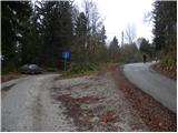
a) From the motorway Ljubljana - Maribor, take the exit Domžale, then turn left towards Gorjuša. When you arrive at Gorjuša, turn right at a non-priority junction in the direction of Svete Trojice, which is approximately 6 km away. Continue through the villages of Spodnje Brezovo, Žeje and Sveta Trojica. Through Sveta Trojica, follow the signs for Murovica, and we follow a slightly narrower road almost to the end of the village, where we park at a small crossroads and by a sign.
b) From the motorway Maribor - Ljubljana, take the exit Krtina, and then continue in the direction of Moravce. At the end of Krtina, more precisely at Brezje pri Dobu, leave the main road and turn right towards Gorjuša and Sveti Trojici. Just after a few houses, the road splits into two parts, and we take the left, which leads us through the lane of a forest, and then across the Raško polje to the village of Rača and Račni Vrh. Just after Račni Vrh, we join the road from Gorjuša, which we follow to the left, and we follow it almost to the end of the village of Sveta Trojica, where we park at a small crossroads and by a sign.
Path description:
From the crossroads at the sign, continue along the upper right and continue on the asphalted road, which climbs moderately through the forest. Soon you will reach a small crossroads, where a path branches off sharply to the right towards the ruins of the nearby castle and the castle fountain. Continue straight ahead and follow the road leading out of the forest to a hamlet of a few cottages, where there is also a small parking lot and mountain direction signs.
From the signposts, continue along the marked mountain path in the direction of Murovica and Ciclja. The way forward initially continues along the fence, and then gradually passes into a dense forest, through which it mostly climbs moderately. Higher up, the path turns slightly to the right, and we are joined on the left by a waymarked path from the village of Zgornja Javoršica. Continue straight ahead and after two minutes of further walking you will reach the top of Murovica, where there are several wooden benches.
From the top of Murovica, continue along the marked trail, which begins to descend to the east. After a short descent, we reach a marked crossroads where the path continues slightly to the right towards Janče and Dolsko, and we continue to the left following the markers Cicelj and Sveti Miklavž. For a short time we continue descending cart track, then the signs point us to the right. The trail continues through the forest and, with a few short ascents and descents, leads past a hunting observation post. From the hunting observation post onwards the path continues for a few minutes without any major changes in altitude, and then begins to descend towards the nearby macadam road.
Once on the road, follow it eastwards, but we only follow it for a short distance, or more precisely to a small pass between two chapels, near which is the Buven farm.
We continue straight on the marked path, which begins to climb moderately through lane of bushes and woods. Higher up, the track is laid and leads to the tractor track logging trail, which is joined only a few steps further on by the path from Zagorica pri Dolskem. Continue on the cart track, which turns into a gradually steeper footpath only a little higher up. When the path becomes level again, the hunting trail from Križevská vas joins us on the right. Here again, continue straight ahead and after a minute's further walking you will reach the forested summit of Cicelj.

Pictures:
 1
1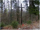 2
2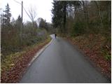 3
3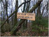 4
4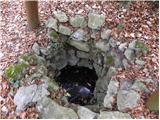 5
5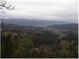 6
6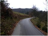 7
7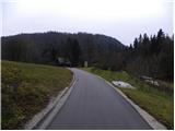 8
8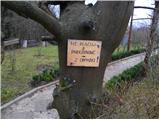 9
9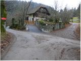 10
10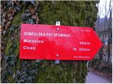 11
11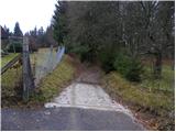 12
12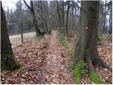 13
13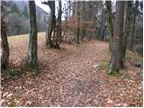 14
14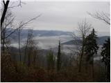 15
15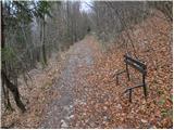 16
16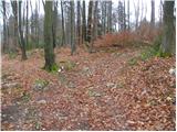 17
17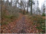 18
18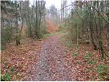 19
19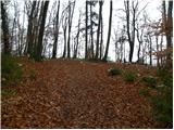 20
20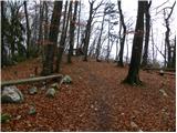 21
21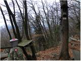 22
22 23
23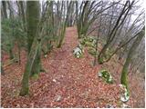 24
24 25
25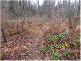 26
26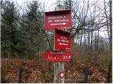 27
27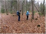 28
28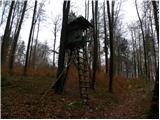 29
29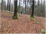 30
30 31
31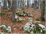 32
32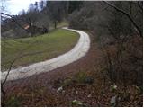 33
33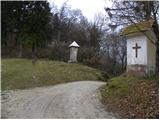 34
34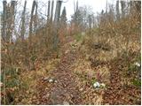 35
35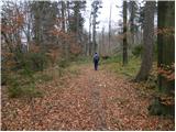 36
36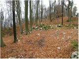 37
37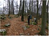 38
38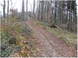 39
39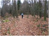 40
40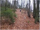 41
41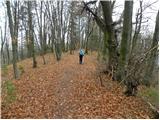 42
42 43
43
Discussion about the trail Sveta Trojica - Cicelj
|
| Kokta26. 03. 2012 |
Lepa pot, samo žig na vrhu ni pa za nikamor. PD Moravče....čas za investicijo. 
|
|
|