Kupljenik - Danejeva planina
Starting point: Kupljenik (642 m)
| Lat/Lon: | 46,3382°N 14,0785°E |
| |
Time of walking: 1 h 20 min
Difficulty: easy unmarked way
Altitude difference: 448 m
Altitude difference po putu: 480 m
Map: Karavanke - osrednji del 1:50.000
Recommended equipment (summer):
Recommended equipment (winter): ice axe, crampons
Views: 5.656
 | 1 person likes this post |
Access to the starting point:
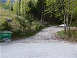
a) From the motorway Ljubljana - Jesenice, take the exit Lesce, then continue to Bled and on to Bohinj. When Bled ends, the road to Bohinjska Bela turns first to the right, approximately 1. 5 km further on, and at the top of the hill the road to Kupljenik turns left. Continue towards Kupljenik and follow the ascending asphalt road to the aforementioned settlement. In the settlement, although there are no houses, you will reach a left serpentine, in the middle of which a short road branches off to the right to a marked parking area.
b) First drive to Podbrdo and from there to Bohinjska Bistrica (by car-train or via Soriška mountain pasture). From Bohinjska Bistrica continue driving to Bled. Before you reach Bled, you will come to a crossroads where the road to the village Kupljenik branches off to the right (the branch from the main road is marked). Continue towards Kupljenik and follow the ascending asphalt road to the village. In the settlement, although there are no houses, you will reach a left serpentine, in the middle of which a short road branches off to the right to a marked parking area.
Path description:
From the marked parking lot, continue along the worse road in the direction of the cave under Babji zob and Babje zub. The road first leads us along the edge of the pasture, from where we pass a beautiful view that reaches all the way to the highest peaks of Karawanks, and then after a left turn, where we see the mountain direction signs, it gradually turns into a forest. Walk along the road for a few minutes, then at a relatively new crossroads of dirt roads continue slightly left (the crossroads was not marked at the time of description) to cart track, which after a few metres turns even more to the left (straight ahead to the cave below Babji zob). A climb through the forest follows, and a few minutes higher up, cart track leads us to a lookout hayfield, where there is a wooden hut at its lower edge, and we have a nice view towards Lake Bled and the part of Karawanks around Golice. Cart track takes us just a little higher to another hayfield, where the markers lead us to the right, to an initially less visible path that turns into a forest. Once in the wods, the track becomes easy to follow and starts to climb more steeply. A few minutes higher, you cross a new, not yet fully completed forest road, and above it, the waymarked path climbs quite steeply through the forest. As the path turns right, it flattens out a little and then climbs steeply to the right across steeper and steeper slopes. The slope becomes steeper as you get higher up, but the path is relatively wide, so there are no major problems crossing it, but a little more caution is needed in wet, snow or foliage, especially when descending. After passing a few rock columns, the path turns left, passes into a valley, and a few steps further on out of the forest to mountain pasture Prihodi, which has just the right name, as we have arrived at the edge of Jelovice.
After the hayloft on mountain pasture Prihodi, we get on cart track, and we follow it straight ahead (right Babji zob) in the direction of Talež. Cart track quickly turns into the forest and starts to climb moderately. When the path is laid, cart track splits into two parts, and we continue slightly to the left, following the further folded cart track, which quickly leads to the next junction, where the road continues to the left towards the forestry hut at Baba (it takes less than 5 minutes to get there), and we continue to the right. Walk for a few minutes, then join the wider road, which you follow to the right, and quickly reach Dane's mountain pasture.

Pictures:
 1
1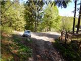 2
2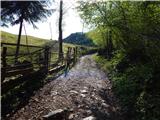 3
3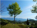 4
4 5
5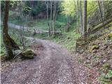 6
6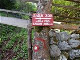 7
7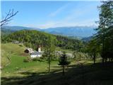 8
8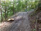 9
9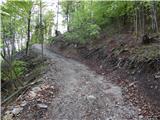 10
10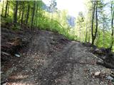 11
11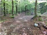 12
12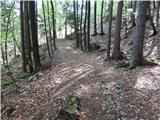 13
13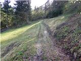 14
14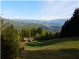 15
15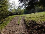 16
16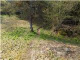 17
17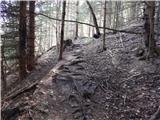 18
18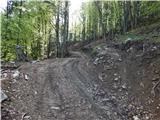 19
19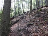 20
20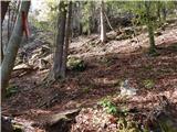 21
21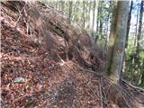 22
22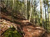 23
23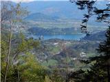 24
24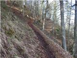 25
25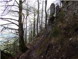 26
26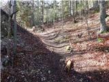 27
27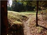 28
28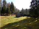 29
29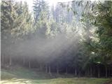 30
30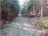 31
31 32
32 33
33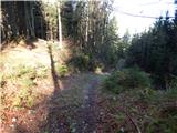 34
34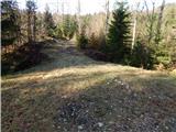 35
35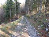 36
36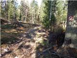 37
37 38
38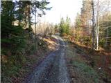 39
39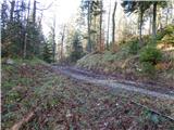 40
40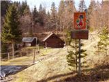 41
41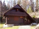 42
42
Discussion about the trail Kupljenik - Danejeva planina