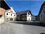
Starting point: Volča (406 m)
| Lat/Lon: | 46,13367°N 14,17927°E |
| |
Time of walking: 1 h 45 min
Difficulty: easy marked way
Altitude difference: 645 m
Altitude difference po putu: 669 m
Map: Škofjeloško in Cerkljansko hribovje 1:50.000
Recommended equipment (summer):
Recommended equipment (winter): crampons
Views: 1.610
 | 1 person likes this post |
Access to the starting point:
First we drive to Škofja Loka, then continue driving towards Gorenjska vas. Before arriving in Gorenjska vas, turn right at the traffic lights into Poljane nad Škofjo Loko. The road quickly leads through the valley to the village of Volča. As there are no suitable parking spaces, you can leave your car at one of the car parks in Poljane. This extends the journey by a good 10 minutes.
Path description:
At the crossroads in Volča, follow the signpost from the main road, which directs you left onto a smaller road. Soon turn right onto the road, which leads quickly to the Church of St George. Follow cart track up along the hay meadow and turn right at the crossroads. The path is less well marked up to here. Cart track quickly turns into a footpath which starts to climb to the right. After crossing a large hayfield, the path leads back to cart track, which quickly leads to the village of Lom nad Volčo. The asphalt road then leads us past a few farmhouses. After a very short descent, we climb up to the village of Zakobiljek. When the path enters the forest, it starts to climb steeply and crosses several dirt tracks. After a good half an hour of climbing, you reach the lower part of a large hay field. The path leads us vertically upwards along the edge of the moor. At the top, through the trees, you can already see the church. It is a 2-minute walk along the road.
From the church, pass a trestle with a bench and a stamp and look for the start of the unmarked cart track, which leads gently up the ridge. When it ends, you can already see an indistinct summit on the left. It is reached by a faint track.

Pictures:
 1
1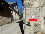 2
2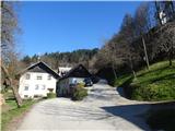 3
3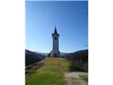 4
4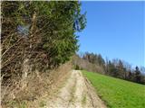 5
5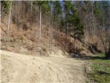 6
6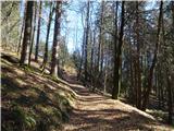 7
7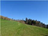 8
8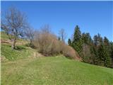 9
9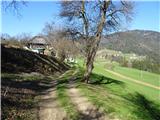 10
10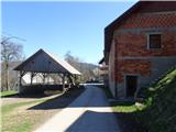 11
11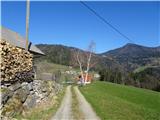 12
12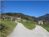 13
13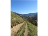 14
14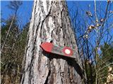 15
15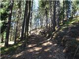 16
16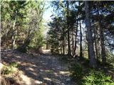 17
17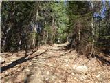 18
18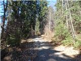 19
19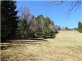 20
20 21
21 22
22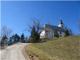 23
23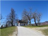 24
24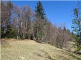 25
25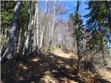 26
26 27
27 28
28
Discussion about the trail Volča - Malenski vrh