Kolnica - Planinski dom Goška ravan (by road)
Starting point: Kolnica (500 m)
| Lat/Lon: | 46,3217°N 14,1599°E |
| |
Name of path: by road
Time of walking: 1 h 25 min
Difficulty: easy unmarked way
Altitude difference: 433 m
Altitude difference po putu: 440 m
Map: Karavanke - osrednji del 1:50.000
Recommended equipment (summer):
Recommended equipment (winter):
Views: 6.135
 | 1 person likes this post |
Access to the starting point:
a) From the motorway Ljubljana - Jesenice take the exit Naklo, Podtabor or Brezje, then continue in the direction of Kropa. At the junction where the road continues straight on towards Kropa, turn right and continue through Kamna Gorica. Continue along the Lipnica valley for a while and then turn left in the direction of Spodnja Lipnica and the Hunting Hut on Talež. After the hamlet of Kolnica, the asphalt ends and the road leads into the forest. Park in a suitable place on the roadside.
b) From the motorway Jesenice - Ljubljana, take the exit Lesce or Radovljica, then continue in the direction of Radovljica and later the villages Lancovo, Lipnica and Kamna Gorica. The road then crosses the Sava River over a bridge and gradually begins to climb on the other side. The road continues through Lancovo and then descends into the Lipniško valley, where you will soon turn right into Spodnja Lipnca. The road then leads past the spring Lipnica and the hamlet of Kolnica, where the asphalt ends. Park in a suitable place on the roadside.
Path description:
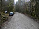
From the starting point, continue along the macadam road, which climbs gently at first and then moderately through the forest. Walk along the road for a while, then pass the water reservoir area to reach a place where a marked path from the valley joins from the right.
Continue straight ahead here (first on the left following cart track Vodiška mountain pasture and Goška Ravan) and continue along the road. Higher up, the road leads to a marked crossroads, where you continue left towards the Mountain Home on Goška Level (right Hunting cottage Talež), which is about 3 km further on foot.
The road continues to climb gently to moderately through the forest, which leads us past Španovy rovt to a place where we are fully close to the marked path from the valley. Here we continue to the right (straight ahead on the marked footpath) and follow the road to the next crossroads, where the road to Ribenska planina branches off to the right, and we continue to the left and gradually follow the slightly steeper road to the start of the mountain pasture Goška ravan. Here we leave the road and walk in a few 10 steps to the Mountain House on Goška Plain.

Pictures:
 1
1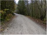 2
2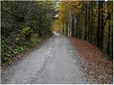 3
3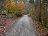 4
4 5
5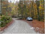 6
6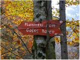 7
7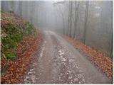 8
8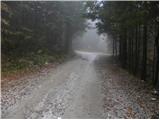 9
9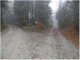 10
10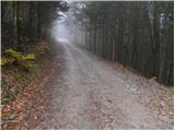 11
11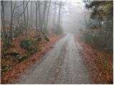 12
12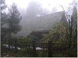 13
13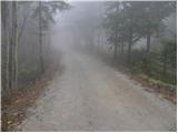 14
14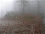 15
15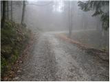 16
16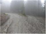 17
17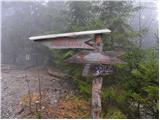 18
18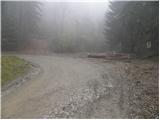 19
19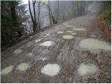 20
20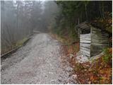 21
21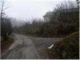 22
22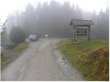 23
23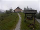 24
24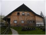 25
25
Discussion about the trail Kolnica - Planinski dom Goška ravan (by road)