Poljane nad Škofjo Loko - Lubnik (via Gabrška gora)
Starting point: Poljane nad Škofjo Loko (385 m)
| Lat/Lon: | 46,1237°N 14,18425°E |
| |
Name of path: via Gabrška gora
Time of walking: 3 h 45 min
Difficulty: easy marked way
Altitude difference: 640 m
Altitude difference po putu: 725 m
Map: Škofjeloško in Cerkljansko hribovje 1:50.000
Recommended equipment (summer):
Recommended equipment (winter):
Views: 4.060
 | 3 people like this post |
Access to the starting point:
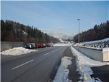
a) First drive to Škofja Loka, then continue driving towards Gorenjska vas and Žire. When you arrive in Poljane nad Škofja Loka, turn right at the traffic lights towards the centre of the town. From the crossroads, drive another 200 metres and park in the cemetery parking lot.
b) From Polhovy Gradec or Horjul, Žiri or Cerkno, drive to Gorenje vas v Poljanska dolina, then continue to Škofja Loka. When you arrive in Poljane nad Škofja Loka, turn left at the traffic lights towards the centre of the town. From the crossroads, drive another 200 metres and park in the cemetery parking lot.
Path description:
From the cemetery, follow the pavement back a bit, or more precisely to the second branch of the hiking trail to Gabrška Gora (the first branch of the trail leads along the road). From the second asphalt road we start climbing up the narrow asphalt road, which leads us past a few houses, and then in front of the last house we continue straight on the cart track, which climbs up through the view meadow to the second asphalt road, where we merge with the first trail to Gabrška Gora.
Climb up the asphalt road for a short distance, and then the signs for Gabrška Gora direct you to the left on a marked footpath which begins to climb through the forest. Through the forest, the path leads us through several crossroads, and we follow the markings for Gabrška Gora. Higher up, the path leads us to the upper edge of a hay meadow, from where we have a beautiful view of part of the Poljanska valley and the Polhograjsko hills. Above this part, the path returns to the forest, and then, as we climb over the next hayfield, we get a nice view to the left, where we can see Blegoš and some neighbouring peaks. When the path enters the forest again, the path from the hamlet of Smoldno joins us from the right, and we continue straight ahead, past the sign, on the path which continues along cart track. From cart track we soon go left, then a few minutes of steeper ascent and the path leads us to the Church of St. Primož and Felicijan on Gabrška Gora.
From the church, continue across the meadow, then the marked path turns into the lane of the forest, after which you enter the road, which you follow to the right in the direction of Lubnik. The road continues past individual houses in Gabrška Gora, and we follow the signs at the crossroads, or go slightly left to the Pešar homestead. Go around the homestead on the left and continue along cart track, and at the crossroads go left. The path then leads into the forest, through which it continues along the ridge, and occasionally also the slopes of Lovrička Peak, and later Plešavnik Peak. As the path through the forest has a few forks, follow the markings carefully, and with a few short ascents and descents, the path leads to a road which we follow slightly to the left (to the right are the homesteads of Čude and Plešavnik, and the road descends into the Sopotniško grapo).
The way ahead leads along a road which leads past the NOB memorial to a crossroads at the area called Vrhovčevo, the crossroads being located at an altitude of 834 metres.
From this crossroads, continue to the right (left Zapreval and Stari vrh) and follow the folded macadam road, which bypasses Vrhovčev grič and Tavčarjev vrh on the right, and then leads us past the abandoned Dolinček homestead to the slopes of Pleše vrh, which the road also bypasses on the right. The road then leads us past two more NOB memorials, and then at a small crossroads we continue slightly left in the direction of the homestead at Zalubnikarju. About 100 metres further on, we arrive at a small preval, where we join the path from the settlement of Praprotno.
Continue to the right in the direction of Lubnik, following the path which quickly leads to another macadam road, along which we continue the steep ascent in the familiar direction towards Lubnik. The dirt road then goes into the forest, where it crosses the slopes to the right. A little higher up, a marked path joins us from the right with Breznica pod Lubnikom, and we continue slightly to the left along a deteriorating, partly rutted road. We continue our ascent along the increasingly worse and gradually steeper cart track, but we also leave this one and continue our ascent along the marked mountain path (due to the numerous cart tracks, orientation is a little more difficult in some places). Higher up, a few more mountain paths join us from the right, and we follow the occasional steeper path all the way to the summit of Lubnik, the summit of which opens up a beautiful view.
Poljane - St. Primož 1:20, St. Primož - Vrhovčevo 1:00, Vrhovčevo - Lubnik 1:25.

Pictures:
 1
1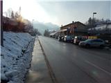 2
2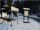 3
3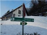 4
4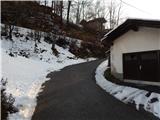 5
5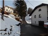 6
6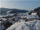 7
7 8
8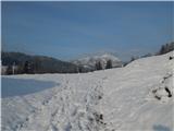 9
9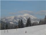 10
10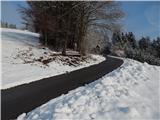 11
11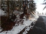 12
12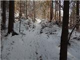 13
13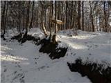 14
14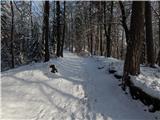 15
15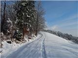 16
16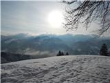 17
17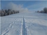 18
18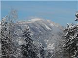 19
19 20
20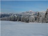 21
21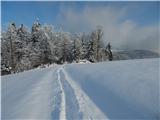 22
22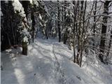 23
23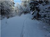 24
24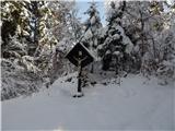 25
25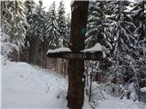 26
26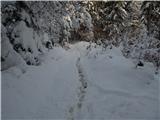 27
27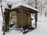 28
28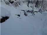 29
29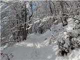 30
30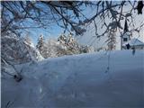 31
31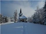 32
32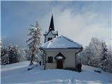 33
33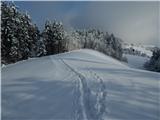 34
34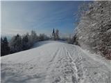 35
35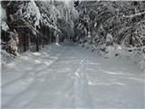 36
36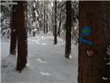 37
37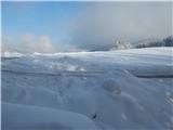 38
38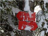 39
39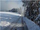 40
40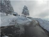 41
41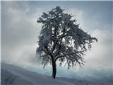 42
42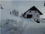 43
43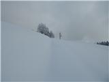 44
44 45
45 46
46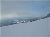 47
47 48
48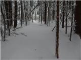 49
49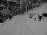 50
50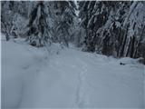 51
51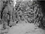 52
52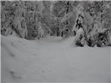 53
53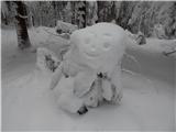 54
54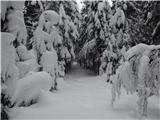 55
55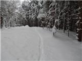 56
56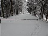 57
57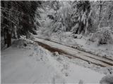 58
58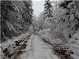 59
59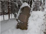 60
60 61
61 62
62 63
63 64
64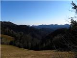 65
65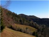 66
66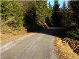 67
67 68
68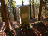 69
69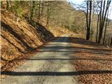 70
70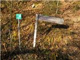 71
71 72
72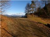 73
73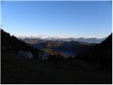 74
74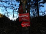 75
75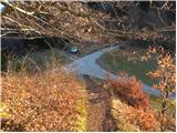 76
76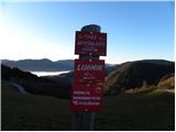 77
77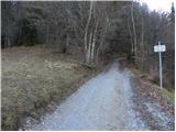 78
78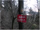 79
79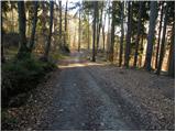 80
80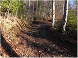 81
81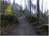 82
82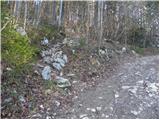 83
83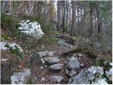 84
84 85
85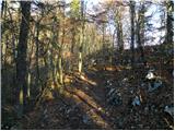 86
86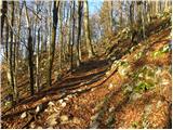 87
87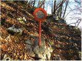 88
88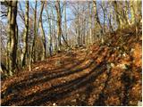 89
89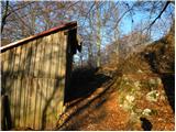 90
90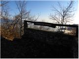 91
91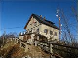 92
92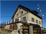 93
93 94
94
Discussion about the trail Poljane nad Škofjo Loko - Lubnik (via Gabrška gora)
|
| ločanka7. 11. 2020 |
Včeraj prvič na tej poti. Res lep pohod, ki traja raje malo več kot je navedeno. Ampak je vredno, v tem času lepo barvito. Si pa včasih na križiščih malo v dilemi, markacije so pomanjkljive. Sva dvakrat falila, a vedno potem našla pravo pot. Sva pa na ta način videla marsikaj, kar drugače ne bi. Vsekakor zadovoljna, da sva se podala na to pot, ki je vredna tudi ponovitve. Je že dogovorjeno  !
|
|
|