Dolenji Novaki (Pod Kovkom) - Ermanovec
Starting point: Dolenji Novaki (Pod Kovkom) (520 m)
| Lat/Lon: | 46,1461°N 14,0367°E |
| |
Time of walking: 3 h 15 min
Difficulty: easy marked way
Altitude difference: 506 m
Altitude difference po putu: 585 m
Map: Škofjeloško in Cerkljansko hribovje 1:50.000
Recommended equipment (summer):
Recommended equipment (winter): ice axe, crampons
Views: 577
 | 1 person likes this post |
Access to the starting point:
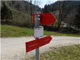
a) First, drive to Cerkno (to get here from the road Idrija - Most na Soči, or via the pass Kladje), then continue driving in the direction of the ski resort Cerkno. Continue past the Gačnik Guesthouse (the inn in Log) and the road branch to the Franja Hospital. A few 100 m further on, on the right side of the road, you will see red mountain direction signs for the Franja Hospital and Ermanovec. Park in a suitable place near the mountain direction signs.
b) From the Poljane valley, drive to Hotavlje, then follow the signs for the Cerkno ski resort. Follow the signs for the Cerkno ski resort only as far as Kopačnica, where, from the junction where the road to the ski resort and Leskovica continues to the right, continue straight ahead on the road that continues along the Podplečica stream. At the homestead Joškovec, where the next confluence is, continue right and then start climbing steeply on the partly macadam road. At the homestead Mrovlje, the road turns to the coastal side, and after some downhill you join the main road leading from Cerkno to the ski resort Cerkno. Follow the road down to the left, and when you reach the road on the left you will notice red mountain direction signs for the Franja Hospital and Ermanovec. Park in a suitable place near the mountain direction signs.
c) From the Selška valley ascend to Davča, then follow the signs for the ski resort Cerkno and later the signs for Cerkno. Once on the coastal side, at the end of Dolenji Novaki, you will see red mountain signs for Franja Hospital and Ermanovec on the left, where you can park in a suitable place.
Path description:
From the main road, descend towards the brook Cerkno, and at the fork take the road to the right, which ends in a meadow after the bridge. On the other side of the bridge, continue left towards Ermanovec and initially walk along Cerkno, but when a side stream prevents you from walking along the stream, continue right and climb along the stream. Before the path enters the forest, cart track appears, after which you climb steeply for some time. Higher up, the trail leads past some small crossroads, where we follow the few markings, but otherwise the route is quite clear, as it runs alongside a torrential stream the whole time. Higher up, cart track turns right and becomes more overgrown in parts. There are a few minutes of climbing through the forest before reaching a dirt road, which you follow to the right. The way forward takes us along the macadam road for some time, which climbs mostly gently to moderately, passing mainly through the forest and crossing the north-western slopes of Škofja. After a short descent, the road leads to the western ridge of Škofja, where it turns sharply to the left.
Here, an unmarked steep path branches off to the left, and we continue along the road, which passes onto the south-western slopes. There is a slight downhill followed by an easy climb to a marked crossroads where we join the marked path from Cerkno.
Continue left on the footpath and after a short steep climb, you will come out on an asphalt road, which you will walk along to the next marked crossroads.
At the crossroads, continue right towards Ermanovec (left Škofje), where you will quickly reach the next marked crossroads, where you will continue straight across the asphalt road to the footpath in the direction of Ermanovec (left Jeram - ICPP stamp, right Kladje pass). Continue climbing for some time along the edge of the lookout ridge, which opens up a beautiful view of Škofje, and then the trail goes downhill and a little further into the woods. Through the forest, climb moderately along cart track, and higher up you will reach an asphalt road leading from the Kladje pass towards Ermanovec.
Walk along the asphalt road for a short distance and then, at a small hamlet, continue slightly left on the road in the direction of the footpath to Ermanovec. Follow the dirt road for some 10 steps to a lookout ridge, where the signs for Ermanovec direct you slightly right to cart track, which leads you quickly up to the forest. Continue through the forest, following the markings at the crossroads, and the path leads to the fortifications of the former Rapallo border, where the path is laid. A little further on, we leave the forest and then walk downhill to the asphalt road we left some time ago, which we reach through the yard of a nearby house.
When we get on the road we continue in the direction of Ermanovec, and the path first leads us past the information board (Path along the rapali border), and a little further on past the old chapel, behind which we join the marked path from Kopačnice on the left.
Continue straight ahead, and in a few minutes you will reach the Ermanovec Cottage.
From the hut, continue straight on (left Štor 5 minutes), and at the first crossroads, where the path to the Žunar farm branches off to the right, straight on again. Walk along the road for a few more minutes, then from the crossroads by the chapel and the bell continue slightly right on cart track towards the top of Ermanovec (straight along the road Hotavlje and Slajka, right also along the road Sovodenj), after which you begin to climb gently up the scenic ridge. When the cart track turns slightly to the right, we continue slightly to the left, on a path that climbs over a slightly steeper grassy slope straight towards the summit. A little below the summit, the path is laid and leads us into the forest, where the summit of Ermanovec is located.
Doleni Novaki - Koča na Ermanovcu 2:55, Koča na Ermanovcu - Ermanovec 0:20.

We can extend the trip to the following destinations: Štor
Pictures:
 1
1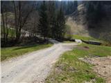 2
2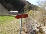 3
3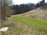 4
4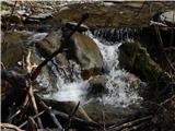 5
5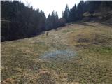 6
6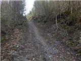 7
7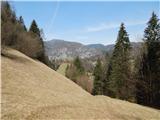 8
8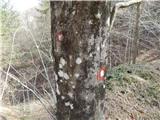 9
9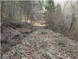 10
10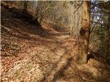 11
11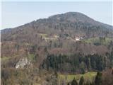 12
12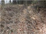 13
13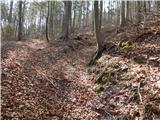 14
14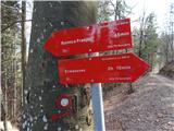 15
15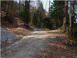 16
16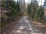 17
17 18
18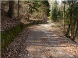 19
19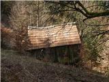 20
20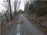 21
21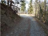 22
22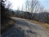 23
23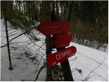 24
24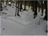 25
25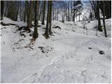 26
26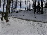 27
27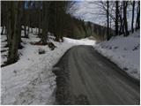 28
28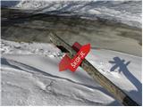 29
29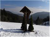 30
30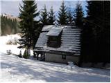 31
31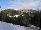 32
32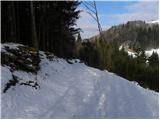 33
33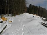 34
34 35
35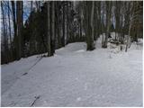 36
36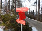 37
37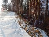 38
38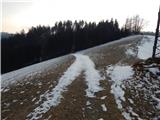 39
39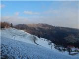 40
40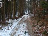 41
41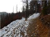 42
42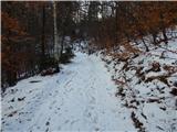 43
43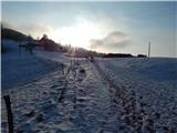 44
44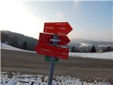 45
45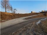 46
46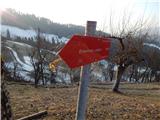 47
47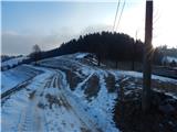 48
48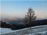 49
49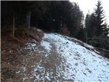 50
50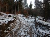 51
51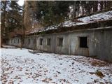 52
52 53
53 54
54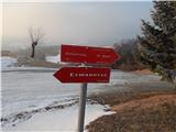 55
55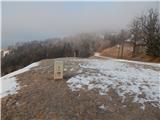 56
56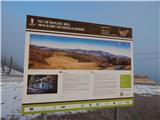 57
57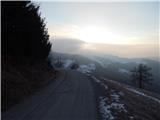 58
58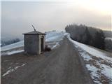 59
59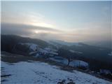 60
60 61
61 62
62 63
63 64
64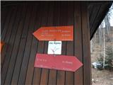 65
65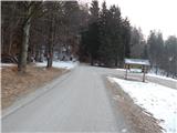 66
66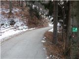 67
67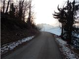 68
68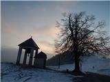 69
69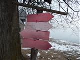 70
70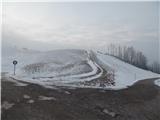 71
71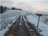 72
72 73
73 74
74 75
75 76
76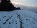 77
77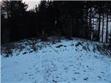 78
78 79
79
Discussion about the trail Dolenji Novaki (Pod Kovkom) - Ermanovec