Starting point: Kuzma (269 m)
| Lat/Lon: | 46,83459°N 16,08296°E |
| |
Time of walking: 52 min
Difficulty: easy marked way
Altitude difference: 93 m
Altitude difference po putu: 120 m
Map: Pomurje 1:40.000
Recommended equipment (summer):
Recommended equipment (winter):
Views: 115
 | 1 person likes this post |
Access to the starting point:
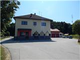
a) From the Murska Sobota - Hodoš road in Gornji Petrovci turn left towards Kuzma, then follow the main road to Kuzma, where you can park in the parking lot next to the Kuzma Local Office and the fire station.
b) Take the road to Gederovci (to get here from Radenci or Murska Sobota, then follow the signs for Kuzma. When you arrive in Kuzma, follow the signs for Gornji Petrovci, and before the end of the village turn right towards the fire station and the Kuzma local office, where you park in a suitable place.
Path description:
From the starting point, follow the road or pavement towards Dolič. At the road junction for Trdkova and Matjaševci, the pavement is moved to the other side of the road, and we walk along it to the Kovač Inn, where signs direct us left onto a side road that leads us past the cross. The path ahead begins to climb, and higher up, go right at two crossroads. The marked path, which continues along the asphalt road to the nearby house, turns into a grassy cart track, from which we have a beautiful view of the nearby hills. A few minutes further on, we pass an abandoned farmhouse on the left, and a little further on, when we merge with another cart track, we pass the last house in the settlement.
Behind the house, by the field, the track splits and we continue slightly to the right, passing the fields on the left. The marked path continues into the woods and climbs gently at first, but becomes slightly steeper when it joins another track. Further on, you reach a small crossroads where the marked path splits.
The left path bypasses Bogin breg and leads directly to the saddle between Zalka and Bogin breg, while we continue straight ahead and within a minute of further walking we reach the transmitters on Bogina Brzeg.
In front of the transmitters, go left down the marked path descending cart track, and when the track turns right, continue straight ahead, where a few steps further on you will join up with the equally marked path bypassing Bogin breg. There is a short moderate climb where you follow the markings and reach Zalka, from which you get some views of the surrounding hills.
Kuzma - Bogin breg 0:45, Bogin breg - Zalka 0:07.
Description and pictures refer to the situation in August 2021.

Pictures:
 1
1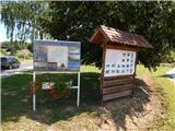 2
2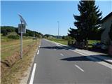 3
3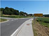 4
4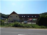 5
5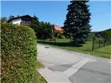 6
6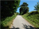 7
7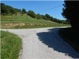 8
8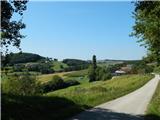 9
9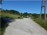 10
10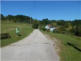 11
11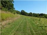 12
12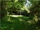 13
13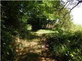 14
14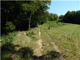 15
15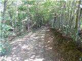 16
16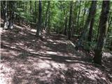 17
17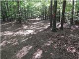 18
18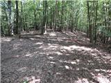 19
19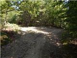 20
20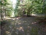 21
21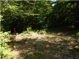 22
22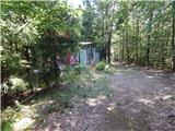 23
23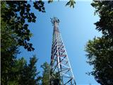 24
24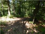 25
25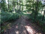 26
26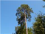 27
27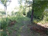 28
28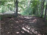 29
29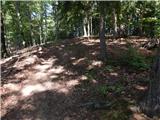 30
30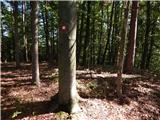 31
31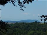 32
32
Discussion about the trail Kuzma - Zalka