Radeljski prelaz - Kapunar / Kapunerkogel
Starting point: Radeljski prelaz (674 m)
| Lat/Lon: | 46,6447°N 15,2062°E |
| |
Time of walking: 1 h 40 min
Difficulty: easy marked way
Altitude difference: 377 m
Altitude difference po putu: 425 m
Map: Pohorje - izletniška karta 1:50.000
Recommended equipment (summer):
Recommended equipment (winter): crampons
Views: 1.390
 | 1 person likes this post |
Access to the starting point:
Drive to Radlje ob Dravi, then continue to the Radeljski Pass. After a few kilometres of climbing, we arrive at Border crossing Radelj, where we park.
Path description:
On the Austrian side of the pass, we see mountain direction signs, including for the Kapunerhütte hut, which point us sharp right onto the macadam road. Follow the road up to the edge of the forest, where you turn left onto a road that is closed to public traffic. We climb along the road for a few minutes, and then the signs direct us slightly to the right on a marked footpath which climbs over a clearing and from which we get some views. Above the coppice, the path passes into the woods and, on the Austrian side, passes the summit of Radelj (784 m). While crossing, we have a nice view towards Golica / Koralpe, and then the path reaches the state border, along which it continues. We climb along the edge of the meadow, with a large private cottage on the left, and enjoy the views to the upper edge of the meadow, where the trail returns to the forest. Follow the waymarks through the woods, and the path reaches cart track at a sign.
From cart track go immediately slightly to the right and climb over the next clearing, from where a beautiful view opens up again, this time a little more to the Slovenian side, where you can see Uršlja Gora and Pec. Higher up, the trail runs alongside a chain-link fence for a while, then begins to descend gently. There is an easy downhill and the cart track crossing, and then we arrive at the Kapunerhütte hut.
From the hut, continue towards St. Pankratzen, where you start to climb steeply through the forest. Higher up, the path turns right and then quickly leads to the state border, where you descend in a few steps to a marked crossroads.
From the crossroads continue along the state border (slightly left St Pankracij, slightly right hut of radio amateurs at Kapunar, sharp right Radlje ob Dravi). The way forward is not marked, but orientation is not a problem as we follow the state border. At first we get some views towards Austria, then the path goes into the forest and leads us to the inexpressive peak of Kapunar.
Radeljski prelaz - Kapunerhütte 1:20, Kapunerhütte - Kapunar 0:20.
Description and pictures refer to the situation in May 2019 and December 2018.

Pictures:
 1
1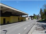 2
2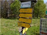 3
3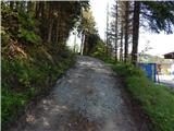 4
4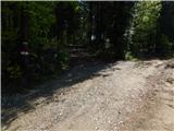 5
5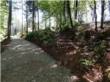 6
6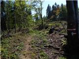 7
7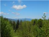 8
8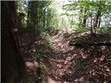 9
9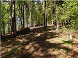 10
10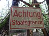 11
11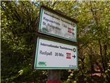 12
12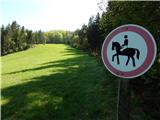 13
13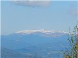 14
14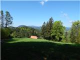 15
15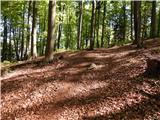 16
16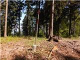 17
17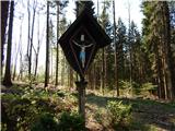 18
18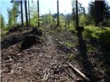 19
19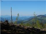 20
20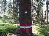 21
21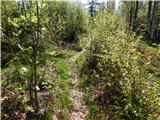 22
22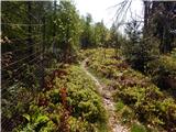 23
23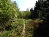 24
24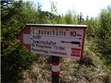 25
25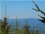 26
26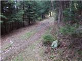 27
27 28
28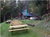 29
29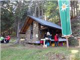 30
30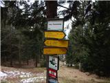 31
31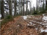 32
32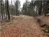 33
33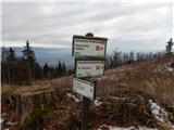 34
34 35
35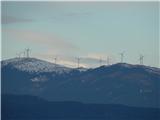 36
36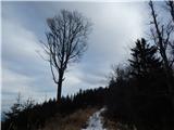 37
37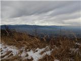 38
38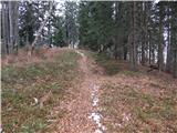 39
39 40
40
Discussion about the trail Radeljski prelaz - Kapunar / Kapunerkogel