Ivarčko jezero - Uršlja gora (Plešivec) (via Kozji hrbet)
Starting point: Ivarčko jezero (633 m)
| Lat/Lon: | 46,5066°N 14,9689°E |
| |
Name of path: via Kozji hrbet
Time of walking: 3 h
Difficulty: easy marked way
Altitude difference: 1066 m
Altitude difference po putu: 1066 m
Map: Koroška 1:50.000
Recommended equipment (summer):
Recommended equipment (winter): ice axe, crampons
Views: 19.355
 | 1 person likes this post |
Access to the starting point:
a) From the Ljubljana - Maribor motorway, take the Žalec exit and then continue in the direction of Velenje, Mislinja and Slovenj Gradec. In Slovenj Gradec, turn left at the traffic lights (traffic lights at the Lidl store), then follow the road at the junctions in the direction of Raven na Koroškem and Kotelj. From Slovenj Gradec the road climbs for a few kilometres and then descends to Kotlje, where at the crossroads continue left towards lake Ivarčko (Ravne na Koroškem on the right). Follow the slightly narrower road towards the Ivarčko lake (also the Ivarčko-Ošven ski resort), near which you can park in one of several parking spaces.
b) From Koroška, first drive to Raven na Koroškem, then continue to Kotlje. From Kotlje, follow the signs for Lake Ivarčko and the Ivarčko-Ošven ski resort. Park in the parking lot by the lake, or in the parking lot by the ski resort.
Path description:
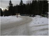
From the parking lot, first walk to the nearby roundabout and then continue to the bottom station of the 4 chairlifts. On the other side of the ski slope, step out onto the road, which leads up a slight incline to a small hamlet. Walk between the houses and the slightly narrower road quickly leads to a crossroads where you join a wider asphalt road, which you follow to the left. The road continues to climb over a hayfield and then leads to the edge of the forest, where there is a small crossroads and the National Liberation Monument next to it.
Continue straight ahead on the asphalt road, which turns right at a higher level and crosses the bed of the Suha stream. Just a few metres after the bridge, a marked path branches off to the left, which continues to climb along the edge of the forest, and higher up it turns into a dense forest and after a few minutes returns to the road. The road continues to climb up the right-hand side of the ravine (loking in the direction of ascent), and we walk along it to the place where the ravine is laid down. At this point you will see a small wooden bridge on the left, which you cross and continue along cart track, which first climbs gently to the left, then turns right and gradually disappears. Continue along the edge of the forest and follow the less well-marked path until you reach an asphalt road (you can also follow the road to here). Follow the road uphill and it will quickly lead you to a marked crossroads, where you continue right in the direction Uršlja gora. Continue along the road leading to Naravski Lediny, and we follow it past the turn-off to the left, where we continue straight on, to the mountain direction signs for Uršlja gora over Kozji hrbet. Here we continue to the left and first ascend the tractor track logging trail, which soon crosses a forest road. Continue on the marked path, which gradually starts to climb steeper and steeper. The trail then passes to the north-west ridge Uršlja gora (Goat's Back), along which it climbs relatively steeply. Higher up, cross another cart track, and then, after about half an hour of further walking, join the path from Naravski Lediny.
From the crossroads continue in the direction Uršlja gora and climb steeply for some time. Higher up, the path becomes flatter and the forest thinner, so that beautiful views begin to open up. Follow this path, which finally leaves the forest and turns into a view slope just below the summit, all the way to the 1699 m high summit. From the top, you can descend in a few minutes to the nearby mountain lodge and St Ursula's Church.

Pictures:
 1
1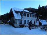 2
2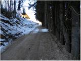 3
3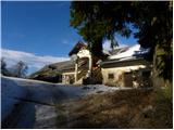 4
4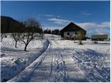 5
5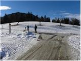 6
6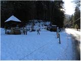 7
7 8
8 9
9 10
10 11
11 12
12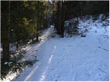 13
13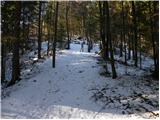 14
14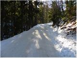 15
15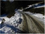 16
16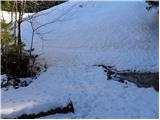 17
17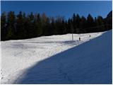 18
18 19
19 20
20 21
21 22
22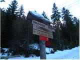 23
23 24
24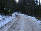 25
25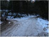 26
26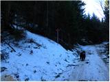 27
27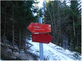 28
28 29
29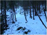 30
30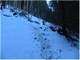 31
31 32
32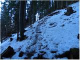 33
33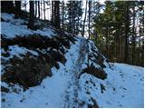 34
34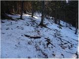 35
35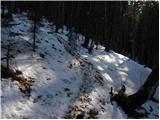 36
36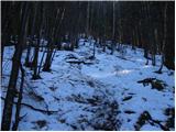 37
37 38
38 39
39 40
40 41
41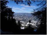 42
42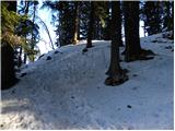 43
43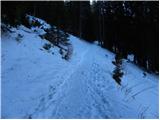 44
44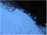 45
45 46
46 47
47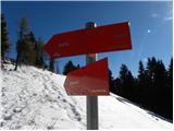 48
48 49
49 50
50 51
51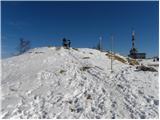 52
52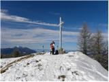 53
53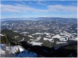 54
54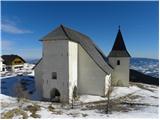 55
55 56
56
Discussion about the trail Ivarčko jezero - Uršlja gora (Plešivec) (via Kozji hrbet)
|
| Misantrof9. 02. 2011 |
Kadar domačini naskakujemo Kozji hrbet (seveda ne govorim v imenu vseh), se ponavadi zapeljemo do ovinka za kmetijo Ošven, kar nam skrajša pot za približno 300 višinskih metrov, oziroma slabo uro hoje. Samo predlog za tiste bolj lene, omejene s časom ali kondicijo.
Lep pozdrav.
|
|
|
|
| smatjaz21. 04. 2017 |
Turbo, potrebuješ še Koroško - Slovenski slovar, tam pa najdeš "picikel.........he, he, he.... 
|
|
|
|
| jprim22. 04. 2017 |
Pa bi bilo čist preprosto kolo; a, ne da?
|
|
|
|
| turbo23. 04. 2017 |
Verjamem  , jaz sem pozabil na narečja in sem mislil, da je prišlo do napake pri tipkanju  In žal se tu ne da nič popraviti in je, kar je 
|
|
|