Socka - Kozjek (nad Socko)
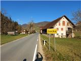
Starting point: Socka (322 m)
| Lat/Lon: | 46,34178°N 15,27377°E |
| |
Time of walking: 1 h 10 min
Difficulty: easy marked way
Altitude difference: 426 m
Altitude difference po putu: 426 m
Map:
Recommended equipment (summer):
Recommended equipment (winter):
Views: 1.680
 | 3 people like this post |
Access to the starting point:
Socka is a locality in the municipality of Vojnik. It lies on the road between Novo Cerkvije and Vitanje. It was named after the gorge of the river Hudinja, which has the same name - Socka. To reach Socka from Celje (approx. 13 km), go north through Vojnik, then left through Nova Cerkev and Razdelj. You can park in the centre itself, where there are plenty of parking spaces near the bus station, the Koprivnik guesthouse or the Bals bistro.
Path description:
From the starting point, continue in the same direction northwards from where you came from Celje, along the asphalt road into the Socka gorge, through which the Hudinja river flows. The route along the asphalt road is marked and interesting. For most of the way we will follow the directions to Špičasty Top or Strnad Meadow. Approximately 1 km from the starting point, there is a large parking lot on the left side of the road at a bend, where you can drive and park. Leave the main road here and cross the stream to the parking area, where there is a footbridge and signposts. The path continues through the woods and uphill, soon coming to a set of steps, where signs direct you along the tarmac to the right. A few steps later, you will come to a turn-off where you continue sharp left uphill back onto the forest path towards Strnad Meadow. A few steps up and a new crossroads awaits. The signs here can be confusing, but turn right onto the well-worn forest path. From here onwards, the forest path is undulating, and the markings and signs point us perfectly in the direction of our destination. After a while we reach a saddle between Kozjek on the left and Kislica on the right, where we continue left on Strnadov meadow uphill and leave the marked trail (ignore the markings to the right, go the opposite way). Soon you will arrive at a clear viewpoint, where you will have a nice view to the south and back towards Kislica. Continue to the forest and take the forest path slightly uphill. The forest path narrows more and more until it runs out. There are still a few metres to climb to the top along the trackless path. The summit is not scenic, so for this pleasure, descend gently down the SW ridge to the viewpoint, where a magnificent view opens up westwards all the way to the Alps themselves.

Pictures:
 1
1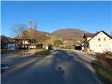 2
2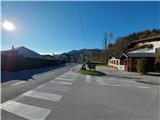 3
3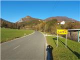 4
4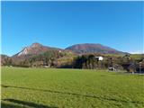 5
5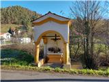 6
6 7
7 8
8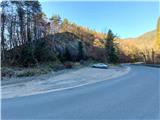 9
9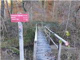 10
10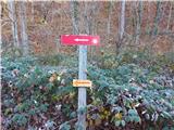 11
11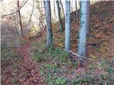 12
12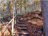 13
13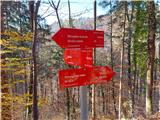 14
14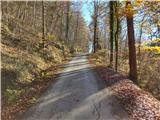 15
15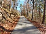 16
16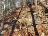 17
17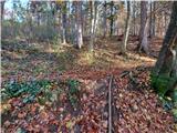 18
18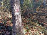 19
19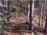 20
20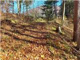 21
21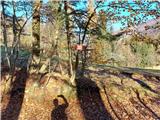 22
22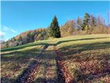 23
23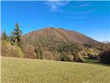 24
24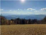 25
25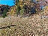 26
26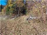 27
27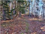 28
28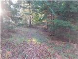 29
29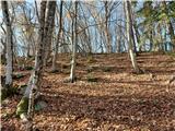 30
30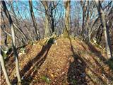 31
31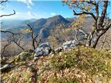 32
32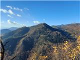 33
33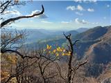 34
34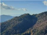 35
35 36
36
Discussion about the trail Socka - Kozjek (nad Socko)
|
| garmont27. 11. 2020 |
Zanimiv, čeprav precej zahtevnejši je vzpon po JZ grebenu, ki se konča povsem na vrhu Kozjeka. Sestop pa po zgoraj opisani poti. 
|
|
|
|
| Hribolazec8128. 09. 2023 20:59:06 |
Prelepa pot, brvi čez potoček žal ni več (Slika 10), sem si moral kar sezuti čevlje in iti bos čez 
|
|
|