Grahovše - Javorče (via Rekar)
Starting point: Grahovše (800 m)
| Lat/Lon: | 46,3664°N 14,3518°E |
| |
Name of path: via Rekar
Time of walking: 2 h 35 min
Difficulty: easy pathless terrain
Altitude difference: 867 m
Altitude difference po putu: 867 m
Map: Karavanke - osrednji del 1:50.000
Recommended equipment (summer):
Recommended equipment (winter): ice axe, crampons
Views: 442
 | 1 person likes this post |
Access to the starting point:
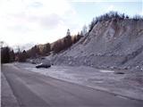
From the Ljubljana - Jesenice motorway, take the Ljubelj exit (Tržič) and then continue towards Ljubelj. Just before the petrol station in Bistrica pri Tržiču, leave the main road and turn right towards Tržiča. Continue through Tržič in the direction of Dovžanove gorge, then turn right at the end of the town in the direction of Lom pod Storžičem and Grahovš. When you arrive in Grahovše, follow the road to the nearby quarry, where you park.
Path description:
From the starting point continue along the road, when the road branches off to the right towards the hamlet Slaparska vas, continue slightly left and you will quickly reach a crossroads in the middle of which there are several direction signs.
Continue left in the direction of mountain pasture Javornik, Stegovnik, mountain pasture Konjščica, Bela peč and the Rot toboggan run (slightly to the right Dom pod Storžičem) and quickly climb up to the ŠD Lom sports ground, from where you will have a beautiful view towards Storžič. Just a little further on, the road passes into the forest and leads us past a sign to a small crossroads from which we continue to the right in the direction of the footpath and the tourist farm Rekar. A few minutes of cross-country climbing through the forest follows, and then we emerge from the forest and reach the Rekar Tourist Farm, with beautiful views of the surrounding countryside.
Continue through the courtyard, following the signs, and after the chicken coop, the path leads you along a small torrential gully. A little further on, the path turns left and becomes steeper, but quickly joins the grassy cart track, which takes us back into the forest. When you reach another cart track in the forest, follow it to the right, and after a few steps go straight on to the marked path, which ascends to the nearby macadam road, where the path joins us from the left, passing the Tič homestead. Follow the road to the right, and at a small crossroads go straight ahead.
At the part called Nad kotlom (Above the cauldron), a path branches off to the right towards Dom pod Storžič (Home under Storžič), and we continue along the road, which takes us a few minutes further to the next marked crossroads, where another path joins from the right from Dom pod Storžičem (Home under Storžič).
The road then passes Gaberčev rovt on the left, and at the left turn we leave it and continue straight on the marked path, which gradually starts to climb steeper. The fairly steep path crosses a pasture fence higher up, behind which it lays down and leads us to a crossroads where the path continues sharp right towards mountain pasture Javornik, and we continue a few steps further to a macadam road which we follow to the left.
A good minute's walk and we arrive at the Zdravc hut, which offers a fine view to the south.
From the hut continue along the road for a short time, but at the small pass where the road starts to descend, leave it and continue right in the direction of Bela peča. The ascent follows along a wooded ridge, which occasionally opens up some views to the left, where there are steep slopes below us, and to the right, where the view is obstructed by dense forest, the slope is less steep. Higher up, the marked path turns left off the ridge, and we leave it at this point and continue straight ahead, reaching cart track just a minute higher up the ridge, after which we continue our ascent. A few minutes higher, cart track splits, and we continue slightly left on the noticeably worse cart track, which soon starts to disappear. After an easier pothole, continue to a small saddle where you continue right towards the main summit. The ascent continues along an initially unmarked ridge, and we follow the ridge "path" all the way to the partly vegetated summit, where there is a registration box.
Grahovše - Rekar 0:50, Rekar - Zdravc hut 1:10, Zdravc hut - Javorče 0:35.
Description and pictures (except the first one, which is older) refer to the situation in November 2020.

Pictures:
 1
1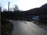 2
2 3
3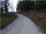 4
4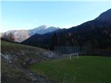 5
5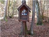 6
6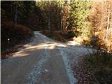 7
7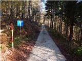 8
8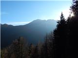 9
9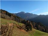 10
10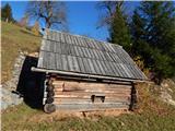 11
11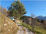 12
12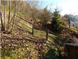 13
13 14
14 15
15 16
16 17
17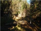 18
18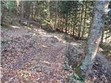 19
19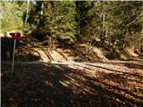 20
20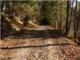 21
21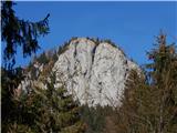 22
22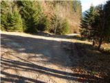 23
23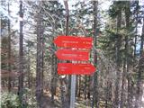 24
24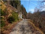 25
25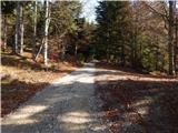 26
26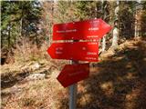 27
27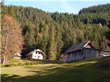 28
28 29
29 30
30 31
31 32
32 33
33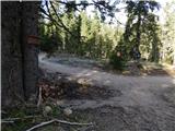 34
34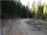 35
35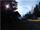 36
36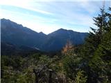 37
37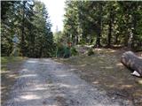 38
38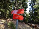 39
39 40
40 41
41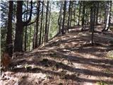 42
42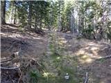 43
43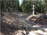 44
44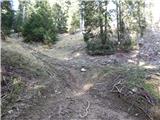 45
45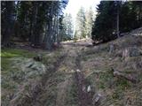 46
46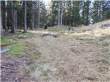 47
47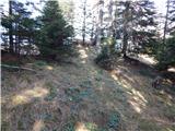 48
48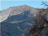 49
49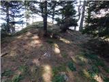 50
50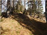 51
51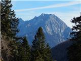 52
52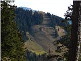 53
53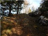 54
54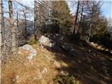 55
55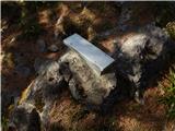 56
56
Discussion about the trail Grahovše - Javorče (via Rekar)