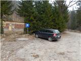
Starting point: Medvodje (854 m)
| Lat/Lon: | 46,4076°N 14,3915°E |
| |
Time of walking: 1 h 40 min
Difficulty: easy unmarked way
Altitude difference: 445 m
Altitude difference po putu: 450 m
Map: Karavanke - osrednji del 1:50.000
Recommended equipment (summer):
Recommended equipment (winter):
Views: 517
 | 1 person likes this post |
Access to the starting point:
From the Ljubljana - Jesenice motorway, take the Podnart (Ljubelj) exit, then continue on the expressway towards Ljubelj and Tržič. When the expressway ends, you will see a petrol station on the right hand side, before which turn right down towards Tržič. Continue through Tržič, and we follow the narrower road towards Dovžana Gorge and then through the villages of Dolina and Jelendol to Medvodje, where we park in the marked parking area at the nearby crossroads.
Path description:
From the parking lot, continue along the road on the left in the direction of Koschutnikturm, Dolga njiva and Košutna (Stegovnik waterfall on the right). At first, walk along the marked road, along which there are few markings, all the time climbing along the Košutna stream. When the dirt road turns sharp right and crosses the stream, leave it and continue straight on the marked path, where the markings are more frequent. Continue climbing along the stream for a few minutes, then the path turns left and climbs steeply to the older logging trail, which is followed to the right. The logging trail climbs mainly transversely, then splits.
Slightly to the right, closer to the stream, the marked path continues, and we follow the unmarked cart track, which leads us a few minutes higher to the Košutna - mountain pasture road of Shija.
Follow the road to the left (right Košutna) and cross the slopes to the left. A little further on the road begins to climb more visibly, and on the north-west slopes of Penatca it turns sharp right. There is some more cross-country climbing and then a small pass and crossroads north-west of Penatca.
At the crossroads, leave the wider dirt road and continue left onto a narrower road, from which, after a few 10 paces, bear left onto cart track, which begins a transverse climb. Then climb cart track, and at a small crossroads go straight ahead, followed by a climb up a scenic slope. When the cart track ends, enter the forest and after a few steps reach the top of Penatca.
Description and pictures refer to March 2020.

Pictures:
 1
1 2
2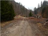 3
3 4
4 5
5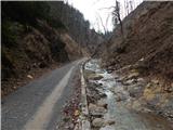 6
6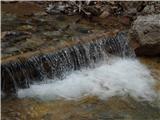 7
7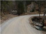 8
8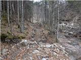 9
9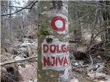 10
10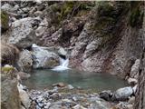 11
11 12
12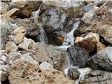 13
13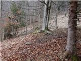 14
14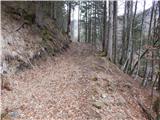 15
15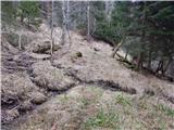 16
16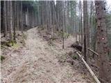 17
17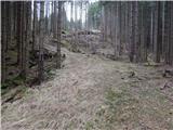 18
18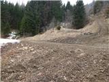 19
19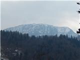 20
20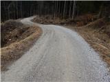 21
21 22
22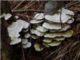 23
23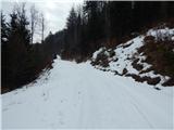 24
24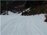 25
25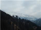 26
26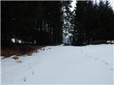 27
27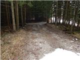 28
28 29
29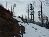 30
30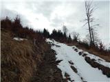 31
31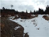 32
32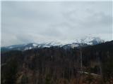 33
33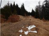 34
34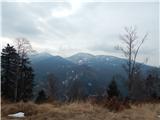 35
35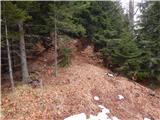 36
36 37
37
Discussion about the trail Medvodje - Penatca