Pod Peco (Koželj) / Koprein-Petzen (Koschiel) - Špičasti vrh / Spitzberg
Starting point: Pod Peco (Koželj) / Koprein-Petzen (Koschiel) (1040 m)
| Lat/Lon: | 46,5032°N 14,6884°E |
| |
Time of walking: 2 h 30 min
Difficulty: easy marked way
Altitude difference: 511 m
Altitude difference po putu: 580 m
Map: Kamniške in Savinjske Alpe 1:50.000
Recommended equipment (summer):
Recommended equipment (winter): ice axe, crampons
Views: 459
 | 1 person likes this post |
Access to the starting point:
a) Via the Jezerski vrh or Pavličev vrh border crossing, drive to Belo / Bad Vellach and from there continue to Železna Kapla / Bad Eisenkappel. At the beginning of Železna Kapla, you will see signs for Leppen, which point you to the right. Continue along a slightly narrower asphalted road, which initially runs along the valley floor and then starts to climb steeply at the hamlet of Koprivna / Koprein - Sonnseite. Further on, we reach the hamlet Pod Peco / Koprein - Petzen, and a few 100 metres after the homestead Koželj / Koschiel, we reach a marked crossroads, where the marked path to Bela / Vellach branches off to the right. Park in a suitable place at the crossroads.
b) From Dravograd or Slovenj Gradec, drive to Ravne na Koroškem, then continue in the direction of Border crossing Holmec. When entering Austria, first drive towards Pliberk / Bleiburg, then follow the signs for Globasnica / Globasnitz. After about 13 km from Border crossing Holmec, you will arrive in Globasnitz, from where you continue driving to the left towards the upper part of the town. From Globasnica, follow the narrower and ascending road towards the hamlet of Pod Peco / Koprein - Petzen. Continue along the Globasnica ravine for some time, then the road leads to an undistinguished pass (Luža saddle / Luschasattel), where you come to a small crossroads. Continue slightly to the right (left mountain pasture Luža) and pass the Church of All Faiths to reach the Riepel guesthouse, after which the road starts to descend steeply. Lower down, when we reach the Muschenigbach stream, we see signs for Belo / Vellach on the left, and we park at a suitable place at the crossroads by the sign.
Path description:
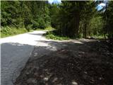
From the starting point, continue in the direction of Bela / Vellach and walk along the ascending dirt road, which is closed to public traffic by a traffic sign and a ramp. After a few longer serpentines, climb up to a saddle to the east of the summit of Gorelca / Gorelza, where there is a signpost (cross). There are a few small junctions where you follow the signs, and then after the next ramp you descend to a wider road, which you follow up to the left.
The road continues above the farm Zgornji Mozgan / Obermosgan, and then continues past another ramp. Here we get a nice view of the Austrian part of Karawanks in particular, and we continue along the marked road. Higher up, the road leads us past several hunting observation posts, and then, after a slightly longer traverse to the right, it leads to another road, which we follow up to the left. At this point, the view opens up again, and we leave the road and follow the marked path across the road. A little higher, just above the nearby crossroads, cross the road once more and then climb up to the border ridge, where you reach cart track, which arrives from the Slovenian side. Walk a few steps along cart track and then continue slightly right on the marked path, which continues along a slightly overgrown ridge. Here again a fine view opens up, and then the ridge becomes more overgrown. A little further on, the marked path on the ridge retreats slightly to the right, bypassing the very top of Snežnik (you can climb to the top in a few 10 steps). After a few more minutes of crossing, you reach another forest road, which you follow westwards. The road leads along the ridge for a short distance, then gradually moves to the northern slopes of Špičastý vrh. At this point, you will notice a marking on the left, which directs you off the road to the left, onto an initially overgrown path, which will take you up to the wooded Špičasti vrh in 10 steps.
Description and pictures refer to the situation in 2016 (August).

Pictures:
 1
1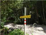 2
2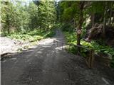 3
3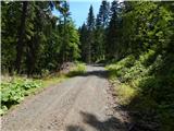 4
4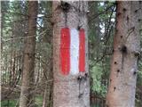 5
5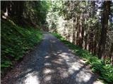 6
6 7
7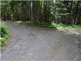 8
8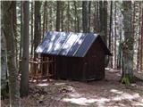 9
9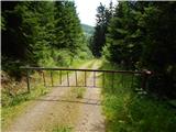 10
10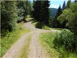 11
11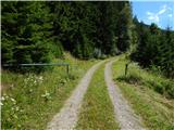 12
12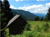 13
13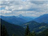 14
14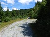 15
15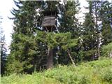 16
16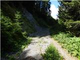 17
17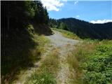 18
18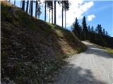 19
19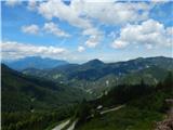 20
20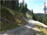 21
21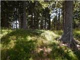 22
22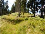 23
23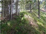 24
24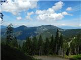 25
25 26
26 27
27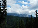 28
28 29
29 30
30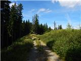 31
31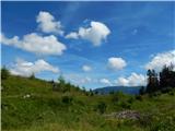 32
32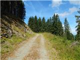 33
33 34
34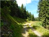 35
35 36
3637
Discussion about the trail Pod Peco (Koželj) / Koprein-Petzen (Koschiel) - Špičasti vrh / Spitzberg