Planina pod Golico - Belska planina (Svečica)
Starting point: Planina pod Golico (980 m)
| Lat/Lon: | 46,4706°N 14,0599°E |
| |
Time of walking: 2 h 15 min
Difficulty: easy unmarked way
Altitude difference: 720 m
Altitude difference po putu: 720 m
Map: Karavanke - osrednji del 1:50.000
Recommended equipment (summer):
Recommended equipment (winter): ice axe, crampons
Views: 7.893
 | 1 person likes this post |
Access to the starting point:
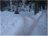
From the motorway Ljubljana - Jesenice take the exit Lipce (also Hrušica) and follow the road in the direction of Jesenice, where the signs for Planina pod Golico direct us to the ascending road (the exit is marked and is located at the health centre in Jesenice). The relatively steep road soon leads us to the above-mentioned village, where in May, in the surrounding meadows, you can admire the bloming of daffodils. With Mountain pasture under Kahlkogel, drive on to the next crossroads, where you will see a number of mountain signposts. Here, continue right and drive another 50m to the parking lot under the Sava Caves.
Path description:
From the parking lot, continue along the lower road in the direction of Kahlkogel and the Savske jame sledding track. After 10 minutes, the toboggan run heads steeply uphill to the left, and we continue along the wide road, which continues to climb moderately along the stream. A little further on, you come to a crossroads where you continue straight on (between the two roads) in the direction of Golice. Next, we climb along the worse, rather overgrown cart track, which after 15 minutes of moderate climbing leads us to a macadam road, which we just cross. Then crossing a pasture fence, the path leads us to the grassy slopes of Markljevje rovt.
From Markl's Gully, continue slightly right (slightly left Kahlkogel) along a track which climbs gently along the bed of a torrent. Higher up, the path becomes slightly steeper, crosses the aforementioned torrent and then turns right, where after a few minutes of further walking it joins the road from Pustje rovt.
Follow the road to the left, but only to the crossroads, where the signs for Barentaler Kotschna direct us to the right (left Kahlkogel). A few steps further on, we enter a newer forest road which we follow to the right (straight old path). Follow this road, which initially passes through the forest, but higher up over the avalanche-prone slope, all the way to Belska planina (Candle), from which we get a nice view.

Pictures:
 1
1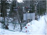 2
2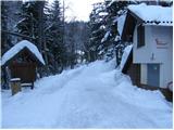 3
3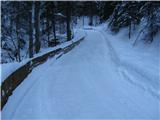 4
4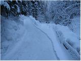 5
5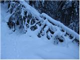 6
6 7
7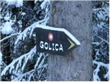 8
8 9
9 10
10 11
11 12
12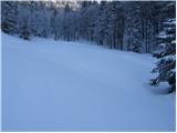 13
13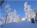 14
14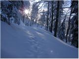 15
15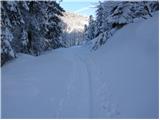 16
16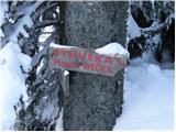 17
17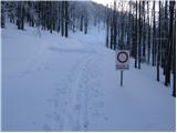 18
18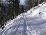 19
19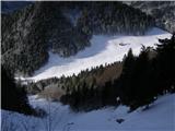 20
20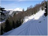 21
21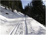 22
22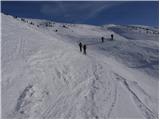 23
23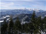 24
24 25
25
Discussion about the trail Planina pod Golico - Belska planina (Svečica)