Pod Peco/Koprein-Petzen - Končnikov vrh (slovenska pot)
Starting point: Pod Peco/Koprein-Petzen (1280 m)
| Lat/Lon: | 46,5072°N 14,7123°E |
| |
Name of path: slovenska pot
Time of walking: 3 h 15 min
Difficulty: easy marked way
Altitude difference: 829 m
Altitude difference po putu: 930 m
Map: Kamniške in Savinjske Alpe 1:50.000
Recommended equipment (summer):
Recommended equipment (winter): ice axe, crampons
Views: 3.584
 | 1 person likes this post |
Access to the starting point:
a) Via the Jezerski vrh or Pavličev vrh border crossing, drive to Belo / Bad Vellach and from there continue to Železna Kapla / Bad Eisenkappel. At the beginning of Železna Kapla, you will see signs for Leppen, which point you to the right. Continue along a slightly narrower asphalted road, which initially runs along the valley floor and then begins to climb steeply at the hamlet of Koprivna / Koprein - Sonnseite. Higher up, you reach the hamlet Pod Peco / Koprein - Petzen, where the starting point of the route to Topitza / Topitza and the Riepl Inn is. Here you continue straight on the initially still asphalted road, which leads you past the Church of All Faiths. Just above the church, the asphalt ends and the road begins to descend. After a short descent, you arrive at a small crossroads, where you continue to the right in the direction of Pec and St. Anna (further along the main road Globasnica / Globasnitz). From the crossroads, you drive for a short distance and then arrive at a ramp near which you park in a suitable space.
b) From Dravograd or Slovenj Gradec, take the Ravne na Koroškem, then continue in the direction of Border crossing Holmec. Once in Austria, first drive towards Pliberk / Bleiburg, then follow the signs for Globasnica / Globasnitz. After about 13 km from Border crossing Holmec, you will arrive in Globasnitz, from where you continue driving to the left towards the upper part of the town. From Globasnica, follow the narrower and ascending road towards the hamlet of Pod Peco / Koprein - Petzen. Continue climbing along the Globasnica ravine for some time, and then the road leads to an undistinguished precipice, where you reach a small crossroads. Here, where you see the signs for Peca, continue left onto a side road, which quickly leads down to a nearby ramp near which you park in a suitable place.
Path description:
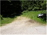
From the parking lot, continue past the ramp and follow the road down to the junction at the edge of mountain pasture Spodnja Luža in a few minutes.
Here the marked Austrian trail to Pec or Feistritzer Spitze branches off to the left, and we continue straight on in the direction of the mountain home on the Kumer farm. The path leads us across the vast mountain pasture, then passes along the edge of the forest and splits into two parts. Take the lower, less favourable road, which descends along the edge of the forest to the state border and cross it. After a few metres of walking on the Slovenian side, we join a wider macadam road, and we continue our descent. A little further down, the marked cart track road to St Anne branches off to the right, and we continue descending. After descending 100 metres, we reach a slightly larger and marked crossroads where the road to Kumru branches off to the right, the road continues straight on towards Koprivna and Črna na Koroškem, and we continue sharp left on the ascending road (at the crossroads there are also the first Slovenian markers for Pec).
We continue on the ascending dirt road for about 10 minutes, then we see a direction sign for Pec on the left side of the road, which directs us to the left across the meadow. On the other side of the relatively overgrown meadow, cart track, which we continue to climb, turns left and starts to climb cross-country. Here we get some views from the path, and cart track joins a poorer forest road higher up, which we follow to the left. The minor road, almost cart track, splits in two higher up, and we continue straight ahead on the ascending cart track, which turns sharply right higher up. The weaker cart track joins the next forest road higher up, which is reached just at the bend. At the end of the bend, leave the road and continue along the waymarked path, which climbs first gently and then steeply through the forest. Higher up, the path curves slightly to the right and gradually leads us to the edge of the precipitous cliffs, from which we have a beautiful view of the Tople valley and the surrounding peaks. The path ahead leads us along the edge of the cliffs for a while, but this only changes from increasingly sparse forest to lane of dwarf pines. We continue to climb along a path that runs along the border line, with increasingly beautiful views from the path. Higher up, the track bends to the right and the boundary line continues in roughly the same direction. When the trail turns to the right, it returns for a while to the purely Slovenian side, which crosses the slopes of Končnik's Peak. In parts slightly less well-trodden, but well-marked, the path leads us higher up to the vast Peć summit ridge, which is reached just above Knips' saddle.
When we reach the ridge, the path to the right branches off towards the Topela valley, Petzen, the path continues straight on towards the Peca ski resort, and we continue left in the direction of Feistritzer Spitze / Feistritzer Spitze. The trail continues up the scenic slope and then gradually ascends to a ridge, which quickly leads to the grassy Končnikov Peak.

Pictures:
 1
1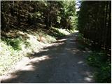 2
2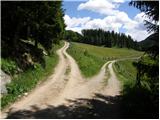 3
3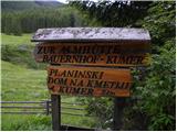 4
4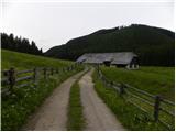 5
5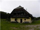 6
6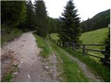 7
7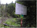 8
8 9
9 10
10 11
11 12
12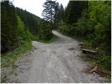 13
13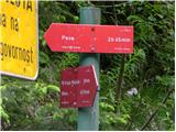 14
14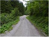 15
15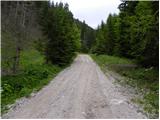 16
16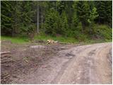 17
17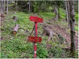 18
18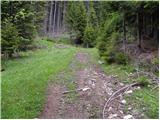 19
19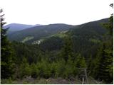 20
20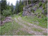 21
21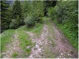 22
22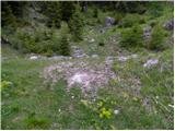 23
23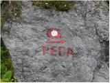 24
24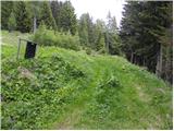 25
25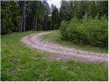 26
26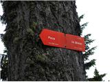 27
27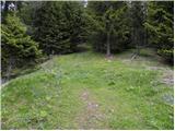 28
28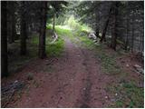 29
29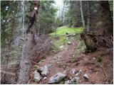 30
30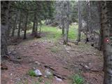 31
31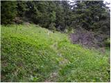 32
32 33
33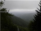 34
34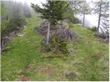 35
35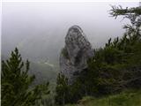 36
36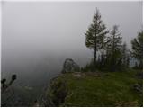 37
37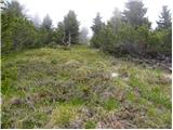 38
38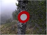 39
39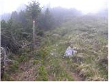 40
40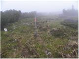 41
41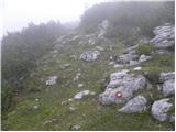 42
42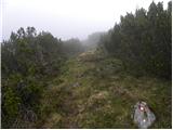 43
43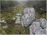 44
44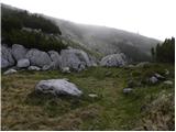 45
45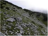 46
46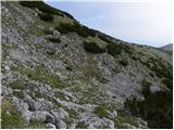 47
47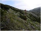 48
48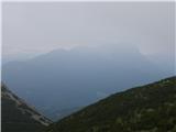 49
49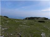 50
50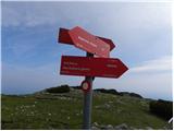 51
51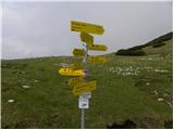 52
52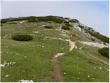 53
53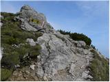 54
54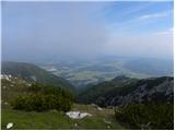 55
55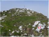 56
56 57
57
Discussion about the trail Pod Peco/Koprein-Petzen - Končnikov vrh (slovenska pot)