Kneške Ravne (Prošček) - Koča na planini Razor
Starting point: Kneške Ravne (Prošček) (754 m)
| Lat/Lon: | 46,2197°N 13,8256°E |
| |
Time of walking: 3 h 30 min
Difficulty: easy unmarked way, easy marked way
Altitude difference: 561 m
Altitude difference po putu: 640 m
Map: TNP 1:50.000
Recommended equipment (summer): helmet
Recommended equipment (winter): helmet, ice axe, crampons
Views: 2.230
 | 1 person likes this post |
Access to the starting point:
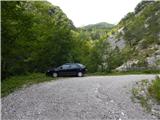
From the Bača pri Modreju - Podbrdo road, in the Kneža settlement, turn onto the road in the direction of Kneške Ravenske. Continue up the road, which continues along the valley of the Kneža stream. Initially quite slippery and partly macadam, the road climbs steeply higher up, and on the steep part the road is mostly asphalted. Higher up, the road splits, and we take a slightly right road leading to mountain pasture in Prodih and becomes macadam (Kneške Ravne on the left). There is a climb of a few 100 metres on the macadam road, and then we park at a suitable place in front of the barrier.
Path description:
From the starting point we continue along the macadam road over which there is a lock, and we follow it in a few serpentines and after about 35 minutes we arrive at the forestry hut.
At the hut, leave the road and walk along the right-hand side of the hut into the forest, where a well-traced and still unmarked path continues. The ascent follows, mostly through the forest, but occasionally with some views towards the foothills. Then we cross a torrent and reach the outskirts of mountain pasture in Prodih, where we also get on the marked trail.
Continue to the left (there is a hunting lodge a few 10 steps to the right) and continue walking along the Geological Trail, which also leads to the European Footpath E7. The trail ascends gently to the left, crossing the occasionally steeper slopes of the Lower Bohinj Mountains. When you reach the ridge between the Ljubinski Stěny and Masovnik, you get a beautiful view towards Kojce, and the path stops climbing and gradually starts descending at the foot of these walls. Below the walls, the once-marked path from Kneški Raven is almost imperceptibly joined from the left.
Continue straight on towards mountain pasture Razor, and the path leads us directly under the cliffs, where, especially in spring, there is an increased chance of falling rocks. There is a cross-climb and the path leads into the forest, where it leads past a spring. After the spring, the path climbs steeply and after two serpentines, it lays down again. A little further on, we cross a grazing fence, and the path leads us out of the forest to the upper part of the mountain pasture Kuk, to an area called Močila, where we pass a few huts on the lower side. After the huts, you reach a carriage road, which you follow to the right (to the left mountain pasture Kuk and the parking lot), and quickly reach a crossroads, where the path to Žabiški Kuk (also called Žabijski Kuk) branches off to the right - the path past Gradič (an old military trail).
Continue in the route mountain pasture Razor and follow the gently sloping macadam road which crosses the western slopes of Žabišký Kuk. Following the road, which occasionally opens up a beautiful view to the north-west, where we can see Rdeči rob, Vrh nad Peski, Grušnica, Tolminski Migovec and other surrounding mountains, after about 25 minutes of further walking, we arrive at a place where the signs for the mountain lodge direct us to the right, on a path that climbs crosswise above the road. A few minutes' walk later, the path leads to the mountain pasture Razor hut. Starting point - mountain pasture in Prodih 0:55, mountain pasture in Prodih - Močila 2:00, Močila - mountain pasture Razor 0:35.
Description and figures refer to the situation in 2018 (July).

Pictures:
 1
1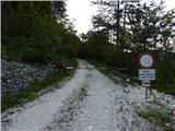 2
2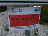 3
3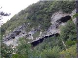 4
4 5
5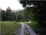 6
6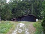 7
7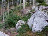 8
8 9
9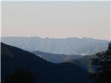 10
10 11
11 12
12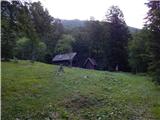 13
13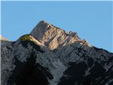 14
14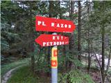 15
15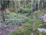 16
16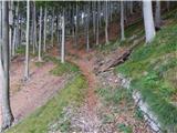 17
17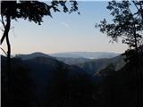 18
18 19
19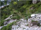 20
20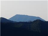 21
21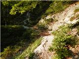 22
22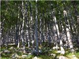 23
23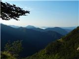 24
24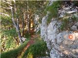 25
25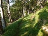 26
26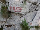 27
27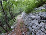 28
28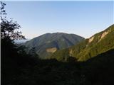 29
29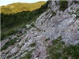 30
30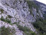 31
31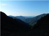 32
32 33
33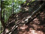 34
34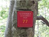 35
35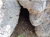 36
36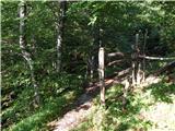 37
37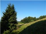 38
38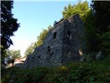 39
39 40
40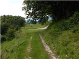 41
41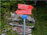 42
42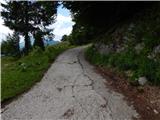 43
43 44
44 45
45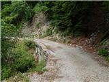 46
46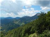 47
47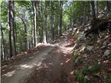 48
48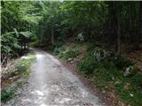 49
49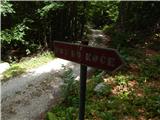 50
50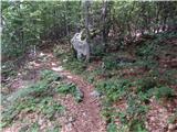 51
51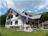 52
52
Discussion about the trail Kneške Ravne (Prošček) - Koča na planini Razor