Zatrnik - Rečiška planina
Starting point: Zatrnik (880 m)
| Lat/Lon: | 46,3682°N 14,0334°E |
| |
Time of walking: 2 h 10 min
Difficulty: easy unmarked way
Altitude difference: 385 m
Altitude difference po putu: 495 m
Map: TNP 1:50.000
Recommended equipment (summer):
Recommended equipment (winter): ice axe, crampons
Views: 375
 | 2 people like this post |
Access to the starting point:
a) Take the Bled, then continue driving in the direction of Pokljuka. When you arrive at Zatrnik, do not park in the parking lot next to the Zatrnik Inn, but about 100 metres further on in the parking lot on the right side of the road. Parking in the parking lot in front of the inn is only allowed for guests of Inn Zatrnik (Pr Jagru).
b) Leave the Gorenjska motorway at exit Lipce, then follow the signs for Kočna and later Spodnje Gorje. At Spodnje Gorje join the road from Bled, and we continue in the direction of Pokljuka. When you arrive at Zatrnik, park not in the parking lot next to the Inn Zatrnik, but about 100 metres further on in the parking lot on the right side of the road. Parking in the parking lot in front of the inn is only allowed for guests of the Zatrnik Inn (pr Jagru).
Path description:
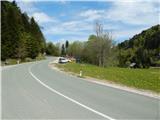
From the parking lot, follow the main road down to the parking lot next to the Jagru Inn, and we find the start of the trail in a small valley, where there are two children's ski lifts in winter. Continue along the Bambi ski slope (right-hand lift) and then, when the lift ends, continue uphill along the route of the former ski slope. The route continues along the ski slope, which turns increasingly to the left as you go higher up. Soon a steep ski slope branches off to the left, and we continue along a steeper right-hand ski slope. As the route of the former ski slope is further laid, a track branches off to the right, descending through a narrow lane of woodland, and then leading to a marshy meadow. Continue across the meadow to a nearby hut, where you will emerge onto a wider cart track.
From the hut, continue left into the woods and follow cart track across to a dirt road, which you follow to the right. Follow the road downhill gently at first and then climb up to reach the marked trail Bled (Zaka) - Pokljuka.
Here, the signs for Pokljuka point us sharp right onto the path, which climbs steeply across a slightly steeper slope. Higher up, we reach cart track, and we follow it up a small valley, where we quickly reach a crossroads by a small hut. After the hut, continue to the right and the marked path leads to Forestry cottage Mali Vokel, situated at an altitude of 1145 m.
Go around the forestry cottage on the right and then the signs lead you into the forest, through which you climb steeply. A few minutes higher up, we cross a dirt road, and we continue straight ahead, also following a dirt road, and in a few 10 steps we reach the hunting lodge.
Walk around the hunting lodge on the left and continue walking on the worse road. When the road turns slightly to the right, continue straight ahead on the marked cart track, then follow the markings and climb up to the former ski slope Zatrnik, where you start descending (if you continue to the right you can climb to the top of the ski slope Berjanca in a minute or two, where you will have a beautiful view that reaches all the way to Triglav). There is a short descent, then cross the forest road and continue along the marked cart track. Cart track soon splits, and we take the upper right path, which continues to climb through the spruce forest. A few minutes higher up, take the marked path cart track to the left, which soon starts to descend to the north-eastern part of Rečiška mountain pasture. Then walk along Rečiška planina, passing a few huts. Starting point - G. k. Mali Vokel 1:15, G. k. Mali Vokel - L. k. Mali Vokel 0:10, L. k. Mali Vokel - Berjanca 0:10, Berjanca - Rečiška planina 0:35.

Pictures:
 1
1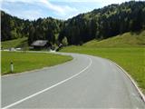 2
2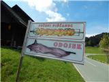 3
3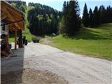 4
4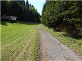 5
5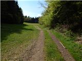 6
6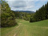 7
7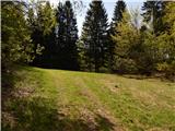 8
8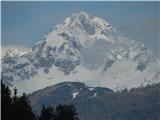 9
9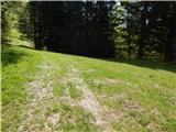 10
10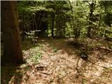 11
11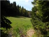 12
12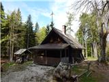 13
13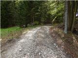 14
14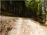 15
15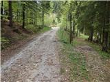 16
16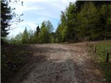 17
17 18
18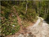 19
19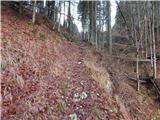 20
20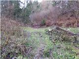 21
21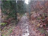 22
22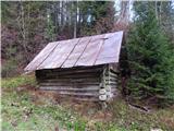 23
23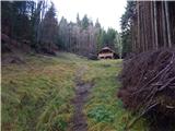 24
24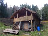 25
25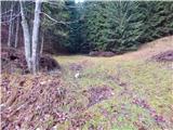 26
26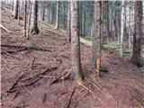 27
27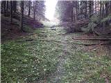 28
28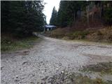 29
29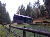 30
30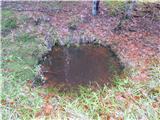 31
31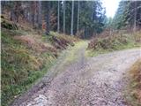 32
32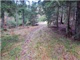 33
33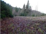 34
34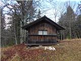 35
35 36
36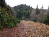 37
37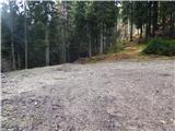 38
38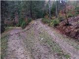 39
39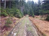 40
40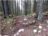 41
41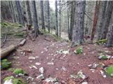 42
42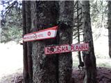 43
43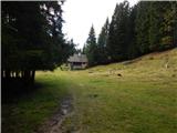 44
44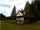 45
45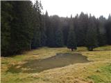 46
46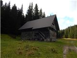 47
47
Discussion about the trail Zatrnik - Rečiška planina