Parking Uskovnica - Planina Zajamniki
Starting point: Parking Uskovnica (1090 m)
Time of walking: 1 h 30 min
Difficulty: easy marked way
Altitude difference: 190 m
Altitude difference po putu: 270 m
Map: TNP 1:50.000
Recommended equipment (summer):
Recommended equipment (winter):
Views: 52.625
 | 1 person likes this post |
Access to the starting point:
From the Ljubljana - Jesenice motorway, take the Lesce exit and follow the road towards Bled and on to Bohinjska Bistrica. Just before Bohinjska Bistrica, at the village of Bitnje, take a sharp right in the direction of Pokljuka. After a short climb, the road flattens out and quickly leads to the Upper Bohinj Valley. Here, at the crossroads, turn left (Pokljuka on the right) and follow the road to Srednja vas. Here, in the second part of the village, we see signs for Uskovnica, which direct us to the right onto a narrower and rather steep road, which later loses its asphalt coating. We drive for about 7 km in the direction of the house on Uskovnica. We reach a parking area where a sign prohibits further driving and we park there.
Path description:
From the parking lot, continue past pasture and pastures towards Uskovnica. Slowly climb cart track and you will reach a crossroads, where you continue to the right towards the house and the chapel. Soon you will reach the Home on Uskovnica.
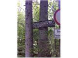
From here you will reach the chapel in five minutes with a gentle climb. At the crossroads near the chapel, turn right onto the ascending road. After a short climb, you reach a crossroads where you continue straight ahead. The road descends to a bridge where there is a parking area called Razpotje. Continue left (right mountain pasture Šeh) and climb up to the next crossroads, where signs direct you right towards Zajamniki. After a short climb, the road descends to mountain pasture Fern. At the crossroads, signs direct us to mountain pasture Šeh, and we continue straight along the road, which climbs again for some time. After 30 minutes, we reach the Zajamniki signpost, where we turn right. After a few minutes we are at mountain pasture Zajamniki. For a view, walk past the huts to the old house at the top of mountain pasture.

Pictures:
 1
1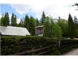 2
2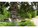 3
3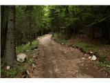 4
4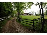 5
5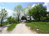 6
6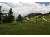 7
7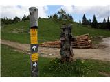 8
8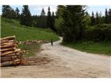 9
9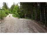 10
10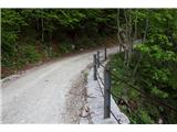 11
11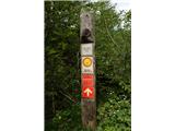 12
12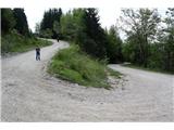 13
13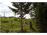 14
14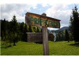 15
15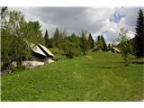 16
16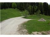 17
17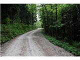 18
18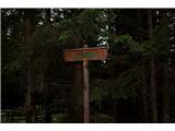 19
19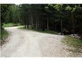 20
20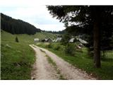 21
21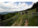 22
22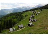 23
23
Discussion about the trail Parking Uskovnica - Planina Zajamniki