Mojstrana - Grančišče (south path)
Starting point: Mojstrana (675 m)
| Lat/Lon: | 46,4552°N 13,9321°E |
| |
Name of path: south path
Time of walking: 25 min
Difficulty: easy marked way
Altitude difference: 169 m
Altitude difference po putu: 169 m
Map: Kranjska Gora 1:30.000
Recommended equipment (summer):
Recommended equipment (winter):
Views: 11.772
 | 1 person likes this post |
Access to the starting point:
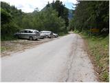
Leave the Gorenjska motorway at exit Jesenice - West (Hrušica) and continue in the direction of Kranjska Gora. A little before Dovje, signs for Mojstrana, Krma, Kot and Vrata direct us left onto a slightly narrower road, which quickly leads to Mojstrana. Through Mojstrana we follow the signs for the alpine valley of Vrata, and we follow the road only as far as the sign marking the end of Mojstrana. Here we see a parking lot on the left, where we park.
Path description:
From the parking lot, first cross the road carefully, then climb up the initially unmarked path, which after just 2 minutes joins the marked path that branches off the road some 10 m lower down. Continue ascending along the marked path, which leads through the forest, and then arrive at the tractor logging trail, which you follow to the right, and after a few metres it leads to a small crossroads, where you continue to the right (straight ahead Vrtaška planina, Vrtaški vrh and Sleme and the upper path to Grančišče).
At the crossroads the markings end and the path quickly returns to the forest, through which it first climbs cross-climbing, then turns slightly to the left and climbs up a moderately steep slope. Higher up, cross a short overgrown clearing before joining the "upper" path mentioned earlier. At the crossroads, where the slope becomes flatter, continue to the right, and we follow the moderately steep path to the summit.
Pictures:
 1
1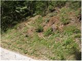 2
2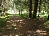 3
3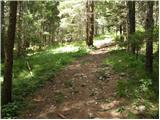 4
4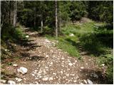 5
5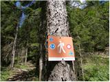 6
6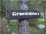 7
7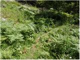 8
8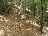 9
9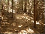 10
10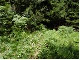 11
11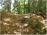 12
12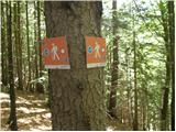 13
13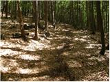 14
14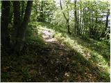 15
15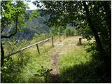 16
16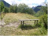 17
17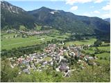 18
18
Discussion about the trail Mojstrana - Grančišče (south path)
|
| Jusk19. 10. 2019 |
Ena hitra turca ko se ti nikamor drugam ne da v slabem vremenu  do gor in nazaj v pol urce
|
|
|