Zgornje Jezersko - Roblekova planina
Starting point: Zgornje Jezersko (880 m)
| Lat/Lon: | 46,3952°N 14,4986°E |
| |
Time of walking: 1 h 40 min
Difficulty: easy unmarked way
Altitude difference: 404 m
Altitude difference po putu: 450 m
Map: Karavanke - osrednji del 1:50.000
Recommended equipment (summer):
Recommended equipment (winter): ice axe, crampons
Views: 16.690
 | 2 people like this post |
Access to the starting point:
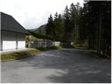
From the motorway Ljubljana - Jesenice take the exit Kranj - East and follow the road towards Jezersko. At Zgornje Jezersko, at the junction by the petrol station, turn left towards the Church of St. Ožbolt in Jezersko (straight Border crossing Jezersko). Continue past the Hotel Planinka and follow the road to the nearby St. Ožbolt Church. Park near the church, or a little lower down in the parking lot by the cemetery.
Path description:
From the parking lot, walk first to the Church of St. Ožbolt and the nearby parish church, and from there continue along the marked mountain trail towards Virnikove Grintovec. The path initially leads us along the edge of the lookout pasture, from where we have a beautiful view of Grintovci and Zgornje Jezersko, and the path quickly passes into the forest, where it soon crosses the first stream. The path then climbs a little more and in a few minutes leads us to the second stream. Here, continue to the left, cross the stream and climb past the sheepfold to the nearby road, which is reached just at its end at the Žmitek homestead.
Continue straight up the initially steep path that climbs through the forest. The path gradually becomes flatter and continues to climb crosswise to the right. A little higher, you reach the old cart track, which ascends to a small pass between Žmitkov špic (Olipov rob on maps) on the left and Žmitek Peak on the right.
Here a short unmarked path branches off to the left to Žmitkov špic, and we continue right and follow cart track, which offers a fine view of Virnikov Grintovec, to the nearby road, which we reach just at its end.
When we reach the end of the road, the route sign for Virnikov Grintovec directs us to the left onto the road, and we continue straight on to the unmarked cart track, which begins to climb through the forest. The initially well-traced cart track becomes increasingly grassy and turns slightly right at a higher level, where it ends. From the end of cart track, continue on a less well-trodden path which climbs cross-cuttingly to the right, which quickly leads to an undistinguished ridge where it turns left and after a few steps leads to a crossroads of several tracks. Continue straight ahead again and focus on the cart track, which begins to descend more steeply. After 5 minutes of descending, you reach a forest road, which you follow to the left. The road climbs moderately, but it leads us higher over quite scenic slopes, from which we get a beautiful view of the highest peaks of the Kamniško Savinjske Alps. Higher up, the road is laid and leads to the border ridge. When the road crosses over to the Austrian side, leave it and continue slightly to the right on a well-traced path which continues along the border ridge. Continue along the gently sloping ridge to the nearby Roblekova planina, which is reached after 5 minutes of further walking.

Pictures:
 1
1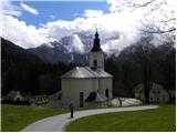 2
2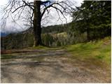 3
3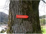 4
4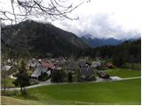 5
5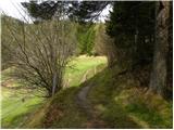 6
6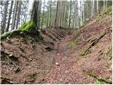 7
7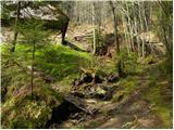 8
8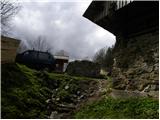 9
9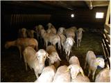 10
10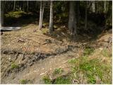 11
11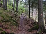 12
12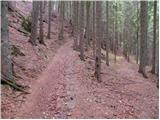 13
13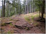 14
14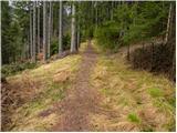 15
15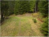 16
16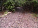 17
17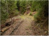 18
18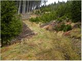 19
19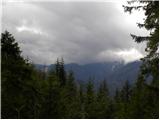 20
20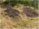 21
21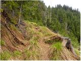 22
22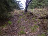 23
23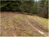 24
24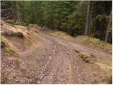 25
25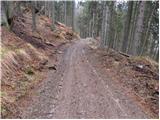 26
26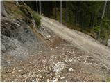 27
27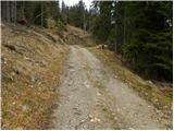 28
28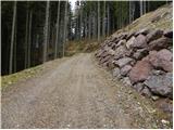 29
29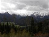 30
30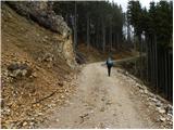 31
31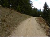 32
32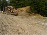 33
33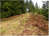 34
34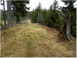 35
35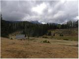 36
36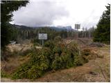 37
37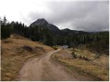 38
38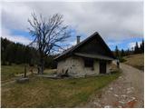 39
39
Discussion about the trail Zgornje Jezersko - Roblekova planina