Zbelovo (railway underpass) - Ljubična gora
Starting point: Zbelovo (railway underpass) (264 m)
| Lat/Lon: | 46,2958°N 15,5325°E |
| |
Time of walking: 45 min
Difficulty: easy marked way
Altitude difference: 269 m
Altitude difference po putu: 269 m
Map:
Recommended equipment (summer):
Recommended equipment (winter): crampons
Views: 747
 | 3 people like this post |
Access to the starting point:
a) Leave the motorway at exit Slovenske Konjice and turn left towards Žiče. In Žiče, turn left at the junction, direction Loče. At the roundabout in Loče, turn in the route Poljčane - Zbelovo. Go through Zbelovo, and at the end of the town you will see an underpass under the railway line. Go through the underpass and immediately turn right, past the bus stop, over an old wooden bridge and park in a small parking lot on the left.
b) Leave the motorway at the exit Slovenska Bistrica-Jug and follow the signs towards Poljčany. Go through Poljčane, and at the end of the town the signs point to the right, in the direction of Loče - Zbelovo. Follow the main road until you reach an underpass under the railway. Do not turn right through the underpass, but left in front of the bus stop on an old wooden bridge, and then park in a small parking lot on the left.
Path description:
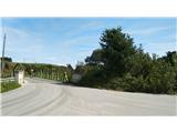
Once parked, follow the access road to a small business, where you will also be directed by the Loško-Zbelovská cesta sign. Keep left at the company and follow the fence to the forest, where the macadam forest road begins. Follow the road until you reach a large parking area for foresters. Here the road ends and we take a sharp right onto the steep forest road logging trail. We follow Logging trail all the time, as there are no markings on part of the path due to the bare forest. If you follow the main logging trail carefully, you will soon reach a small viewpoint and then back into the forest, where you turn right and follow the signs to St Hubert's Chapel. Turn right here at the crossroads, following the L markings (Loško-Zbelovska trail) all the way. Follow the forest trail until you see a small cottage on the left. At the cottage, climb up to the asphalt road and follow it to the Church of St. Mary. Passing the church, a sign directs you into the woods, where you climb for a while and then descend gently to the cross at the footsteps of St Mary, where there is a registration book.

Pictures:
 1
1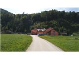 2
2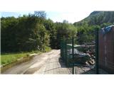 3
3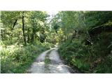 4
4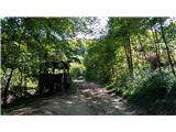 5
5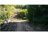 6
6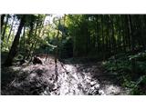 7
7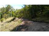 8
8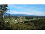 9
9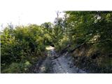 10
10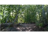 11
11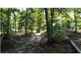 12
12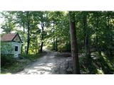 13
13 14
14 15
15 16
16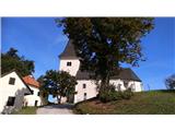 17
17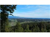 18
18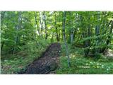 19
19 20
20
Discussion about the trail Zbelovo (railway underpass) - Ljubična gora