Zaplana (Jamnik) - Rajna peč
Starting point: Zaplana (Jamnik) (640 m)
| Lat/Lon: | 45,9799°N 14,243°E |
| |
Time of walking: 40 min
Difficulty: easy marked way
Altitude difference: 16 m
Altitude difference po putu: 50 m
Map:
Recommended equipment (summer):
Recommended equipment (winter):
Views: 1.895
 | 1 person likes this post |
Access to the starting point:
a) First take the Vrhnika, then continue driving towards Horjul. After Staro Vrhnika, you will quickly reach a crossroads, where you will turn left towards Zaplana. Continue along the ascending road, which you follow to a large parking lot at the foot of the former Ulovka ski slope, where you park.
b) From the Old Road Vrhnika - Logatec drive to Zaplana and pass the parish church of St. Urho and St. Martin. A little further on, at the next junction, turn right towards Vrhnika (Rovte on the left), then drive to the large parking lot at the foot of the former ski slope Ulovka, where you park.
Path description:
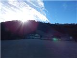
From the parking lot, continue along the road in a north-westerly direction (if you reached the starting point by following description a, continue along the road, if you reached the starting point by following description b, return along the road in the direction of the access to the starting point), where you will quickly arrive at the settlement of Jamnik. When you reach a slightly larger crossroads, continue slightly right in the direction towards Rovty (there is a road sign for Zaplana on the left) and just after the crossroads you will reach the settlement of Mizni dol. In Mizni dol continue to the right, then at the log cabin at Janez, where there is also a sign (the log cabin is located to the right of the marked trail), continue on the road slightly to the left, which leads further towards Rovty and Raztovki. Walk along the asphalt road until you reach the chapel a few minutes away, and from there turn slightly right onto the macadam road that leads you along the pasture. The dirt road descends slightly further and turns into a cart track, which climbs steeply for a few minutes. As the path turns right it lays down, then turns left at the NOB memorial and starts to descend. Lower down, the path leads between two sinkholes, but after the sinkholes it turns right and climbs in some 10 steps to a large cross at Rajna peč, from where a fine view opens up.
Description and pictures refer to 2016 (December).

Pictures:
 1
1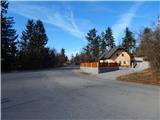 2
2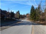 3
3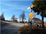 4
4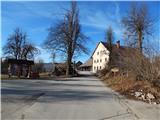 5
5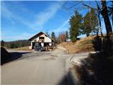 6
6 7
7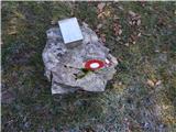 8
8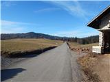 9
9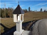 10
10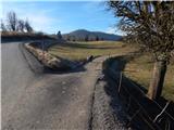 11
11 12
12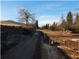 13
13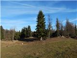 14
14 15
15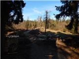 16
16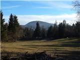 17
17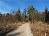 18
18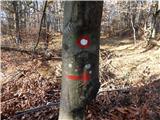 19
19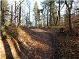 20
20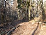 21
21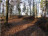 22
22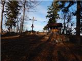 23
23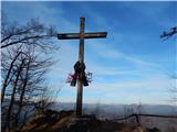 24
24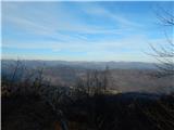 25
25
Discussion about the trail Zaplana (Jamnik) - Rajna peč
|
| grega_p20. 01. 2021 |
Rajna Peč je danes ponudila pogled le na Trčkov Grič spodaj, vse ostalo pa je bilo skrito za meglicami.
Lepa hiška/oder zgoraj, pride prav v dežju. In lepo izklesane roke ob križu - veliko vihtenja z dletom.
|
|
|