Starting point: Zamedveje (200 m)
| Lat/Lon: | 46,051°N 13,5887°E |
| |
Time of walking: 2 h 30 min
Difficulty: easy marked way
Altitude difference: 612 m
Altitude difference po putu: 612 m
Map: Goriška 1:50.000
Recommended equipment (summer):
Recommended equipment (winter):
Views: 14.553
 | 1 person likes this post |
Access to the starting point:
From Nova Gorica, drive to Tolmin or vice versa. In the village Plave turn left (from the route of Tolmin turn right), cross the bridge and then at the junction after the bridge, continue right. Continue along the Soča River to the next crossroads, where you turn left towards the village of Zamedveje. Follow the road, which climbs steeply, above the village, where you park in a roadside parking lot.
Path description:
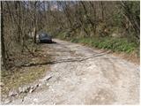
From the parking lot, continue along the road along which you parked (you can also take the footpath that branches off at the bend a few metres before the parking lot, but the path is quite overgrown). The road, which climbs gently and mostly passes through the wods, leads us after about 45 minutes' walk to an unmarked crossroads, where we continue to the right. The road, which gradually becomes more scenic, leads us past a few houses to where a marked footpath from the village of Plave joins us on the left. Continue along the road, which climbs slightly and after a few minutes of further walking leads us to a small hamlet where the markings direct us left between the houses upwards. The way forward is moderately ascending, partly on a grassy slope, partly through the forest. At the top of this ascent you reach an asphalted road, where you continue to the right, but only for a good 20m. After 20m, signs direct us left up a steep climb, across a grassy slope, to the next road. Continue left along the road, which turns right and goes into the forest. In the wods, a path branches off the road to the left uphill to the church of St Genderka, and we continue along the road, which again leaves the wods and turns onto a grassy slope. Just a little further on, we come to a parking lot, where a worse road branches off to the left uphill, which leads us after a 100m walk to the shelter at Korada. From the shelter, continue left along the path, which crosses a short lane of forest and then leads us along a scenic ridge to the top of Korada.
PS:You can descend past the Church of St Genderce, where you will come back to the road.

Pictures:
 1
1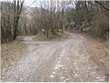 2
2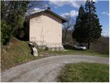 3
3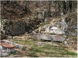 4
4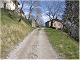 5
5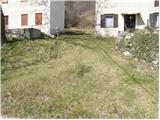 6
6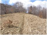 7
7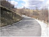 8
8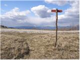 9
9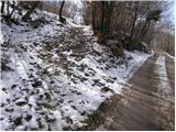 10
10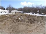 11
11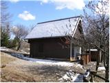 12
12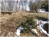 13
13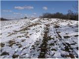 14
14 15
15
Discussion about the trail Zamedveje - Korada
|
| balon31. 08. 2013 |
ali je parkiranje možno okoli hiše na sliki 3? In koliko je hoje, če je izhodišče od slike 3? hvala 
|
|
|
|
| balon20. 09. 2013 |
ali sploh kdo hodi po tej poti? 
|
|
|
|
| husky20. 09. 2013 |
Parkiranje je možno kakih 200 m višje (pri odcepu markirane poti v Plave). Od tam je do vrha Korade kakih 30 min hoje.
|
|
|