Starting point: Weißenbach (960 m)
| Lat/Lon: | 46,6846°N 13,43897°E |
| |
Time of walking: 2 h 10 min
Difficulty: easy marked way
Altitude difference: 598 m
Altitude difference po putu: 610 m
Map:
Recommended equipment (summer):
Recommended equipment (winter):
Views: 271
 | 1 person likes this post |
Access to the starting point:
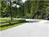
A small village Weißenbach (postal no. 9714) in Austrian state of Carinthia is a starting point. To get there, leave the highway section Villach - Spittal an der Drau at exit Paternion. After that there are two options. First, via Stockenboi and then after a few kilometers follow the sign Farchtensee and turn left (right or straight is a lake Weißensee), drive a few minutes more and park. Second option is via Kreuzen and lake Farhtensee to the starting point. The starting point is recognized by a small crossroad with many sings in plain sight (e.g. Fischeralm, Bodenalm, Jausenstation). Park by the road on the other side from the signs and a few meters down the road.
Path description:
Take a turn from regional road to the road following the stream slightly upwards to the mountain pasture Fischeralm (follow the signs Fischeralm, Bodenalm or Jausenstation). After that follow the dusty road, cross a boom gate, and follow the signs to the Fischeralm (sometimes spelled also as Fischer Alm).
Pass the hut Jausenstation on the left and follow the road west for 40 minutes to the Bodenalm mountain pasture (sometimes spelled also as Boden Alm). You will pass some sites that remind the visitors of a rich history of glassmaking in this area centuries ago.
Turn left just before Bodenalm (when you see a hut) and follow the slowly ascending dusty road. You will then pass a boom gate. The road ascends further. Turn right when you see markings for Radnigeralm (and a trail number 25c).
A moderately steep trail leads through the forest until it reaches a Radniger mountain pasture.
Pictures:
 1
1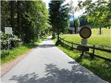 2
2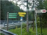 3
3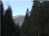 4
4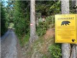 5
5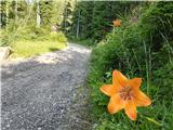 6
6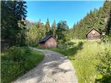 7
7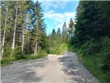 8
8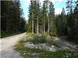 9
9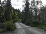 10
10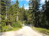 11
11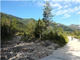 12
12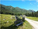 13
13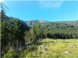 14
14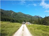 15
15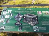 16
16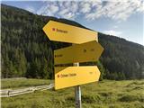 17
17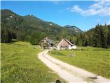 18
18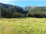 19
19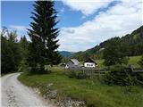 20
20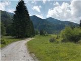 21
21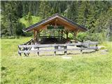 22
22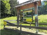 23
23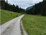 24
24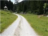 25
25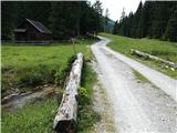 26
26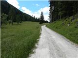 27
27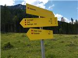 28
28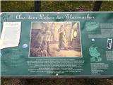 29
29 30
30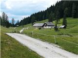 31
31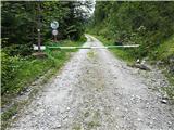 32
32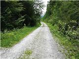 33
33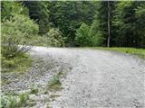 34
34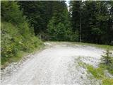 35
35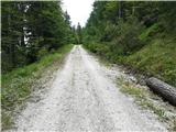 36
36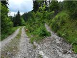 37
37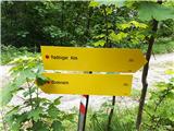 38
38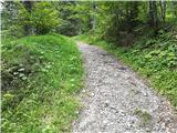 39
39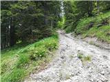 40
40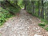 41
41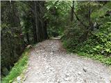 42
42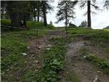 43
43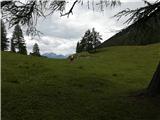 44
44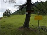 45
45
Discussion about the trail Weißenbach - Radnigeralm