Vilenica - Stari tabor (Vilenica - Stari Tabor - Povir)
Starting point: Vilenica (420 m)
| Lat/Lon: | 45,6747°N 13,9116°E |
| |
Name of path: Vilenica - Stari Tabor - Povir
Time of walking: 1 h 40 min
Difficulty: easy marked way
Altitude difference: 183 m
Altitude difference po putu: 220 m
Map: Slovenska Istra - Čičarija, Brkini in Kras 1:50.000
Recommended equipment (summer):
Recommended equipment (winter):
Views: 2.076
 | 2 people like this post |
Access to the starting point:
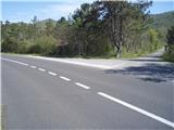
Leave the Ljubljana - Koper motorway at the Divača exit and follow the road in the direction of Lokev and Lipica. The road, which is somewhere flat, quickly leads to the village of Lokev. At the end of the village, a road branches off to the right towards the Vilenica cave. Take this road, from which a road soon branches off to the right (the branch is marked), which leads us after 100 m to the parking lot at the Vilenica cave.
Path description:
From the parking area, after visiting the outer part and the surrounding area of the Vilenica Cave, continue along the mountain trail from direction Lipica to the mountain direction signs. Continue moderately in the direction of Lokev and soon reach the crossroads of Jama Vilenica after a pleasant grassy cart track. From the crossroads, follow the direction signs left upwards in the direction of Stari tabor and Povir respectively. The path winds pleasantly higher in an increasingly rocky world, with a few left and right turns, but we continue on the marked mountain path. There is a small cross made of stones further along the path on the right. Soon the path from the Povir settlement joins from the left, and we continue to the right and after a few metres along the area to the right where the cribs were placed in their time, we reach the viewpoint of the Stari Tabor peak.
After a short tour and views of the surrounding area, continue left from the top in the direction of the village Povir (the easier option) downhill. On the left above us along the path is the 568 m high Sprinchev Hill. . . Continue and soon reach the Hudičkov spodmol point on the right side of the path (30 metres away). After a short visit to the natural attraction, continue in the direction of Povir. The path is steadily descending, cart tracks and the road is getting wider and wider and we reach the settlement Povir. Cross the railway line with the help of an overpass, look at the railway station below to the left and in the next ten metres reach the centre of the settlement with the parish church of St Peter.
The route from Vilenica via Stari tabor descends to Povir in the easier version and is about 5500 metres long, 220 positive vertical metres and 250 negative vertical metres.

Pictures:
 1
1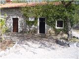 2
2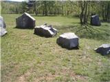 3
3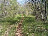 4
4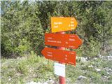 5
5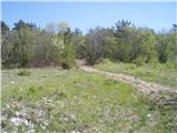 6
6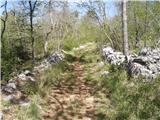 7
7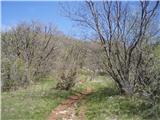 8
8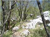 9
9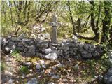 10
10 11
11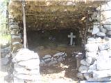 12
12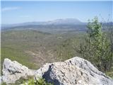 13
13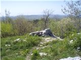 14
14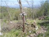 15
15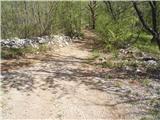 16
16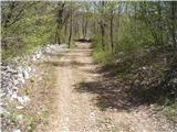 17
17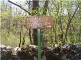 18
18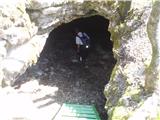 19
19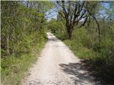 20
20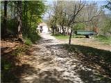 21
21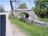 22
22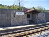 23
23 24
24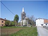 25
25 26
26
Discussion about the trail Vilenica - Stari tabor (Vilenica - Stari Tabor - Povir)