Vikrče - Grmada (Kovačeva steza)
Starting point: Vikrče (320 m)
| Lat/Lon: | 46,1285°N 14,4446°E |
| |
Name of path: Kovačeva steza
Time of walking: 1 h 10 min
Difficulty: easy marked way
Altitude difference: 356 m
Altitude difference po putu: 356 m
Map: Ljubljana - okolica 1:50.000
Recommended equipment (summer):
Recommended equipment (winter): crampons
Views: 3.428
 | 1 person likes this post |
Access to the starting point:
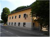
a) From the Ljubljana - Jesenice motorway, take the Ljubljana - Šmartno exit and then continue to Tacno. In Tacno, just before the road crosses the Sava River via a bridge, turn slightly right in the direction of Pirnič. Just after Ljubljana ends, we arrive in Vikrče, and we follow the road to the Kovač Inn, which is located near the bus stop. There are no suitable parking places at the starting point.
b) From Šentvid, drive to Tacen, then turn left immediately after the bridge over the Sava River towards Pirničy. Just after Ljubljana ends, we arrive in Vikrče, and we follow the road to the Kovač Inn, which is located near the bus stop. There are no suitable parking places at the starting point.
c) From Medvode, drive to Zgornje and then Spodnje Pirniče, and we follow the road to Tacno. When we arrive in Vikrče, we join the road leading from Smlednik to Tacno, and we continue to the right here and follow the road to the nearby Kovač Inn, where the starting point of our route is. There are no suitable parking places at the starting point.
d) The starting point can also be reached by LPP bus 15.
Path description:
After the Kovač Inn, continue right into the forest, where you will immediately reach a crossroads of two marked trails. Take the left path marked Kovačeva steza (slightly to the right Westrova pot), which begins to climb crosswise to the left. After a short climb, the Learning Trail branches off slightly to the left, and we continue slightly to the right along the Kovačeva steza (Kovac's Trail). Higher up, the path bends slightly to the left and then back to the right, where it gradually turns into a small erosion gully. There is a short, slightly steeper climb and then you reach cart track, where you continue to the right (Šmarna gora on the left).
Continue along the Svoboda Trail, which turns into a cross path at cart track. Cross the occasionally steeper slopes of Grmada for a while, then join the aforementioned Wester path.
When you reach the above-mentioned path, continue to the left, and follow the forested ridge path, which is joined by the Mazi path a little higher on the right, all the way to the top of Grmada, which you reach without any major problems.

We can extend the trip to the following destinations: Šmarna gora
Pictures:
 1
1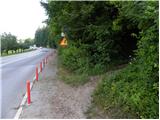 2
2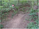 3
3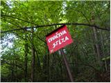 4
4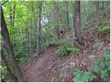 5
5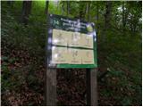 6
6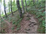 7
7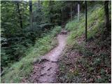 8
8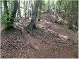 9
9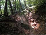 10
10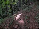 11
11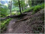 12
12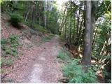 13
13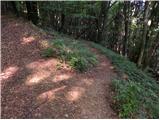 14
14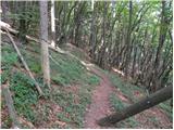 15
15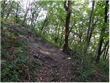 16
16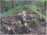 17
17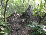 18
18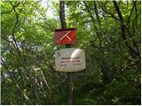 19
19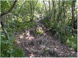 20
20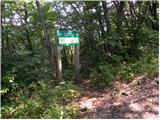 21
21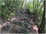 22
22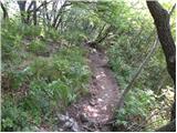 23
23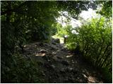 24
24 25
25 26
26
Discussion about the trail Vikrče - Grmada (Kovačeva steza)