Vas (sports field) - Sveti Jurij (Remšnik)
Starting point: Vas (sports field) (355 m)
| Lat/Lon: | 46,61131°N 15,25992°E |
| |
Time of walking: 1 h 45 min
Difficulty: easy unmarked way
Altitude difference: 330 m
Altitude difference po putu: 350 m
Map: Pohorje 1:50.000
Recommended equipment (summer):
Recommended equipment (winter):
Views: 125
 | 1 person likes this post |
Access to the starting point:
From the road Maribor - Dravograd in the village of Vas turn right (from Dravograd turn left) in the direction of Remšnik. Continue along the Ehartovo brook, and we drive to the sports ground, parking in the asphalt parking lot on the right side of the road.
Path description:
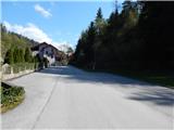
From the parking lot, continue along the asphalt road, passing the Erjavec cafeteria on the right and the chapel a little further on. A few minutes higher up, the road forks and we continue along the main road on the right, which continues along the stream. We continue past occasional houses, and just after the road turns left towards the Krecenbaher beekeeping farm, the road turns right and moves away from the stream. There is a cross-country climb, and when we leave the forest we have a beautiful view that reaches all the way to Karawanks, where we can see Uršljo Gora and Peca.
Higher up, the road levels out and we continue left along the main road, which descends slightly. The way ahead leads us along a fairly scenic road, from which we can occasionally see the Church of St George on Remšnik. This path then leads us through another hamlet, after which there is a short crossing to the right. When the crossing ends, you reach a marked path, which you follow to the right (Kapunar and St Pancratius on the left). There is a really short descent past a chapel and you reach a crossroads, where you continue straight on (the road to the left leads to the village of Brezno).
There is a short climb and you pass the POŠ Remšnik to reach the church of St George.
Description and pictures refer to the situation in April 2022.

Pictures:
 1
1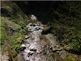 2
2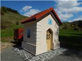 3
3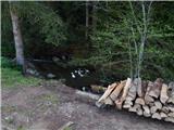 4
4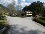 5
5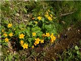 6
6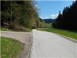 7
7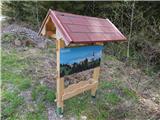 8
8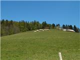 9
9 10
10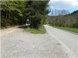 11
11 12
12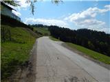 13
13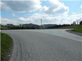 14
14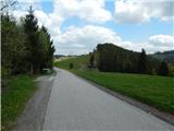 15
15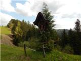 16
16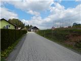 17
17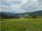 18
18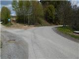 19
19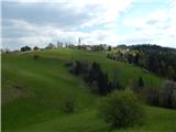 20
20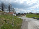 21
21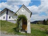 22
22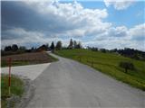 23
23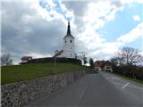 24
24 25
25 26
26
Discussion about the trail Vas (sports field) - Sveti Jurij (Remšnik)