Val Alba - Monte Chiavals (on path 450, 428 and south ridge)
Starting point: Val Alba (1055 m)
Name of path: on path 450, 428 and south ridge
Time of walking: 2 h 45 min
Difficulty: difficult marked way
Altitude difference: 1043 m
Altitude difference po putu: 1043 m
Map: Tabacco; Foglio Blatt 018
Recommended equipment (summer): helmet
Recommended equipment (winter): helmet, ice axe, crampons
Views: 4.787
 | 1 person likes this post |
Access to the starting point:
a) From Kranjska Gora, past Trbiz, and along the old road towards Udine (Vidmo) as far as Moggio Udinese, then right through the village towards Val Aupi, as far as Pradis, here right towards Val Alba, as far as the no-traffic sign, where there is a gravel parking area on the right hand side.
b) From Nova Gorica or Sezana take the Italian motorway to Palmanova, here take the route Trbiz to the Carnia exit, then through Amaro along the old trunk road towards Trbiz all the way to Moggio Udinese. Then left towards Val Aupi (further description the same as point a).
Path description:
At the end of the parking lot, take the path slightly to the right, which for some time runs on a straight track, partly in the forest, partly on wide forest ledges under interesting cliffs. At the first marked turnoff go straight ahead, at the second turn right across the stream along 428a towards the Bianchi bivouac. At the end of the stream, after catching the forest path, climb up, partly in switchbacks, partly in hairpin bends, to the next crossroads, where you turn right again towards the bivouac. The path continues through the forest, comes out of the forest at a higher level and at one part over an interesting exposed but wide ledge climbs higher up to a more grassy area which, after a few switchbacks, soon emerges onto the grassy level where the Bianchi bivouac stands.
1 hour 50 minutes walk to get here.
Turn left here, but after a good 5 minutes you reach the next junction where you take the right path, but after 10 metres and another junction take the left path which takes you to the south ridge along which you reach the lookout point from the bivouac in 50 minutes.

Pictures:
 1
1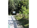 2
2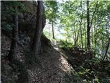 3
3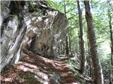 4
4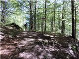 5
5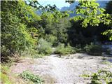 6
6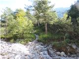 7
7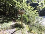 8
8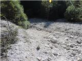 9
9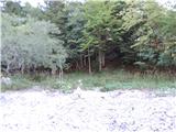 10
10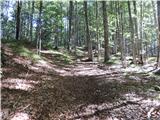 11
11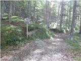 12
12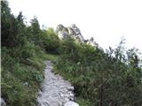 13
13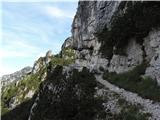 14
14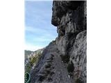 15
15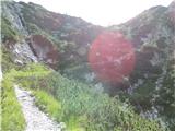 16
16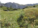 17
17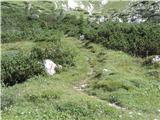 18
18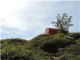 19
19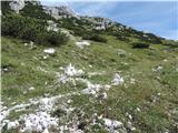 20
20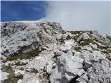 21
21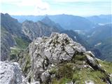 22
22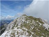 23
23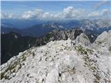 24
24
Discussion about the trail Val Alba - Monte Chiavals (on path 450, 428 and south ridge)