Starting point: Trdkova (278 m)
| Lat/Lon: | 46,85464°N 16,10848°E |
| |
Time of walking: 25 min
Difficulty: easy marked way
Altitude difference: 93 m
Altitude difference po putu: 105 m
Map: Pomurje 1:40.000
Recommended equipment (summer):
Recommended equipment (winter):
Views: 160
 | 1 person likes this post |
Access to the starting point:
a) We take the road Gorenji Petrovci - Kuzma, and we follow the road towards Kuzma to the beginning of the village Martinje (Martinje Trdkova on the signs). Here, just a few 10 m before the beginning of the village, we see the signs for Tromejnik, which direct us to the right, on the road which quickly takes us to the village Trdkova. The road then climbs moderately and takes us to a crossroads, at which we see the signs for Tromejnik to the left and right. Take the road to the left, which starts to descend steeply. The road lowers and after a further 100 m leads to the next crossroads, where we continue straight on towards Kuzma (Tromejnik on the right). After about 200 m of driving, we see the mountain direction signs along the road, where the route described above begins. There are no parking places at the starting point.
b) Drive to Kuzma, then follow the road towards Petrovce. Shortly after Kuzma, you will see signs for Trdkova, which direct you to the left on a side road. In Matjaševci go twice to the right, and before the beginning of Trdkova you will see red mountain direction signs on the right, where the described route begins. There are no parking spaces at the starting point.
Path description:
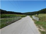
From the starting point, head to the south side of the road, where the signs for the Pomurska planinsko trail direct you to cart track, which turns right just after the field and continues for a short time between the forest and the field. At a fork nearby, take the left fork cart track, which passes into the forest and starts to climb steeply. Higher up, an indistinct ridge is reached, and cart track turns into a track which, a little further along, passes the headland of Zalka on the left. Here the path turns slightly to the left and then quickly leads us to the top of Zalka, from where we get some views to the south-west.
From Zalka, continue along the marked path which descends to the saddle between Zalka and Bogin breg. When the path starts to climb gently, it splits. To the right, the initially overgrown marked path continues, leading towards Dolič and then Kuzma, while we continue straight ahead, quickly reaching the more distinct cart track, which, with few signs, ascends to the transmitters on Bogine Brzeg.
Starting point - Zalka 0:18, Zalka - Bogin breg 0:07.
Description and pictures refer to the situation in August 2021.

Pictures:
 1
1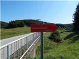 2
2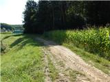 3
3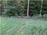 4
4 5
5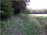 6
6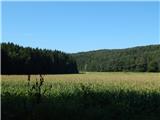 7
7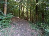 8
8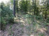 9
9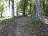 10
10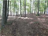 11
11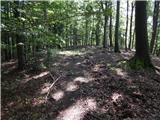 12
12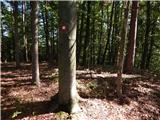 13
13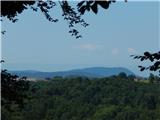 14
14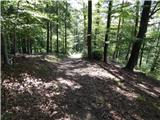 15
15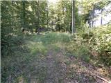 16
16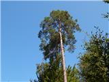 17
17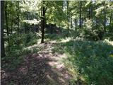 18
18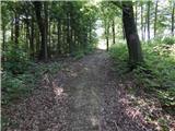 19
19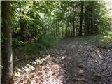 20
20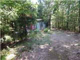 21
21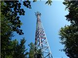 22
22
Discussion about the trail Trdkova - Bogin breg