Topole - Rašica (Vrh Staneta Kosca) (ridge path)
Starting point: Topole (335 m)
| Lat/Lon: | 46,1706°N 14,5515°E |
| |
Name of path: ridge path
Time of walking: 2 h 10 min
Difficulty: easy marked way
Altitude difference: 306 m
Altitude difference po putu: 460 m
Map: Ljubljana - okolica 1:50.000
Recommended equipment (summer):
Recommended equipment (winter):
Views: 3.360
 | 2 people like this post |
Access to the starting point:
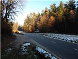
a) Leave the Gorenjska motorway at the Vodice exit, then continue driving towards Kamnik, then turn slightly right in Vodice towards Bukovica. Continue along the road towards Mengeš. After Koseze, the settlements and hamlets end, and the road then leads through lane of a forest and some meadows. As the meadows narrow, a dirt road branches off slightly to the left towards the sports ground in Topole, and to the right, across a marshy meadow, is a track leading towards Mengeška koča on Gobavica and Rašice. Park in a suitable place at the crossroads.
b) Take the Mengeš, then from the main crossroads in the centre of Mengeš, continue towards Kranj. A little further on from the main road, turn slightly left onto the road towards Vodice. Just after the crossroads, cross the Pšata canal over a bridge, and then after the fields the road turns into woods, with narrower meadows along the road. When you see that the macadam road leading to the sports ground in Topole turns sharp right and the footpath leading to Gobavica and Rašica starts on the left, you are at the starting point of the route described above. Park in a suitable place at the crossroads.
Path description:
On the south side of the road there is a fainter path which leads through a short marshy meadow, after which it turns into a forest, and after a few 10 metres it joins the cart track. The cart track continues ascending, first gently and then moderately, following the rather sparse markings at the crossroads. When the cart track is laid down, you will quickly reach a marked crossroads, where you will continue to the right in the direction of the ridge path to Rašica (Mengeš hut to the left, straight ahead the lower path to Rašica and Mengeš huts).
From the crossroads there is a climb to the forested Magarovnik (402 m), from where there is some descent to the next marked crossroads.
Continue slightly left in the direction of the ridge trail to Rašica (sharp left lower trail to Mengeš hut, right Koseze). Walk through the forest with some ascents and descents, and at the crossroads follow the markings and signs for the ridge trail to Rašica. Follow this route, with numerous crossroads, all the way to the Staneta Kosca Peak, where there is a lookout tower and a few steps further on, a mountain lodge.

Pictures:
 1
1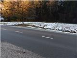 2
2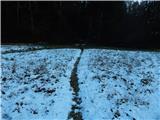 3
3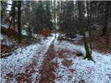 4
4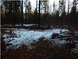 5
5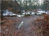 6
6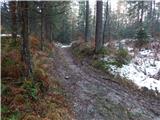 7
7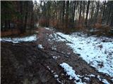 8
8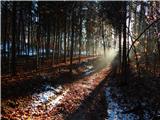 9
9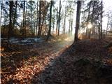 10
10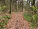 11
11 12
12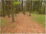 13
13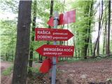 14
14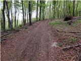 15
15 16
16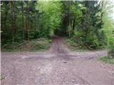 17
17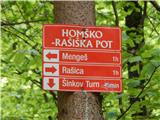 18
18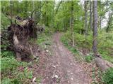 19
19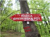 20
20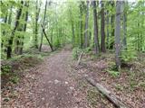 21
21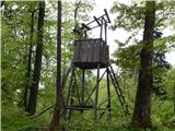 22
22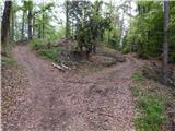 23
23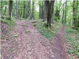 24
24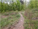 25
25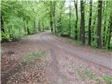 26
26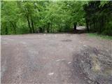 27
27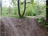 28
28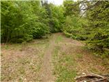 29
29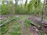 30
30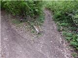 31
31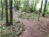 32
32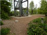 33
33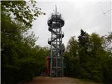 34
34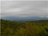 35
35 36
36
Discussion about the trail Topole - Rašica (Vrh Staneta Kosca) (ridge path)