Topol - Tošč (direct way)
Starting point: Topol (651 m)
| Lat/Lon: | 46,0911°N 14,369°E |
| |
Name of path: direct way
Time of walking: 2 h
Difficulty: easy marked way
Altitude difference: 370 m
Altitude difference po putu: 415 m
Map: Ljubljana - okolica 1:50.000
Recommended equipment (summer):
Recommended equipment (winter):
Views: 24.100
 | 3 people like this post |
Access to the starting point:
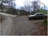
From Medvode, drive to the village Sora, where you will head towards the village Topole (Katarina). When the road leads to the village, turn right and follow it. Soon it leads to the next crossroads where the road to the village of Belo branches off to the right. Here we park in a small parking lot on the side of the road.
From Dobrova, drive on towards Polhov Gradec. When the sign for Topole points to the right, take this road and follow it to the crossroads for Belo, where you park in a small roadside parking lot.
Path description:
From the village Topole continue along the macadam road towards the village of Belo. After about 10 minutes walk, leave the road and continue slightly to the right in the direction of Grmada. Continue along the initially wide cart track, which crosses the slopes without any major changes in altitude. After a few minutes of further walking, a relatively steep footpath branches off to the left from cart track and continues ascending. After a few minutes, the steepness eases and the path leads to a small preval, where you continue to the right (unmarked path to Goljek on the left).
Continue along the path which, with a few drops and climbs, crosses the slopes to the west. The path from which we occasionally open up some views leads us after about 1 hour's walk to a crossroads at which a pleasant bench is placed.
Proceed right in the direction of the Gonte Tourist Farm (left Setnica, straight Grmada) along a wide path which, with a few short drops and climbs, quickly leads us to the farm.
To the left of the tourist farm we will see the mountain signs for Tošč, which direct us to the folded and wide cart track. The marked path leaves cart track a little higher up and starts to climb steeply after this. The path, which runs almost entirely through the forest, leads us higher to the summit of Maly Tošč (902m) from which the path starts to descend towards the saddle between the two peaks.
Next, the path from Govejk joins us from the right, and we continue straight along the path ascending to the top of Tošča. After about 15 minutes of further walking, the path leads us to a pleasant summit.
Topole - Gonte 1:15, Gonte - Tošč 45 minutes.

Pictures:
 1
1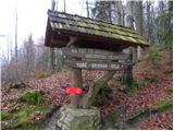 2
2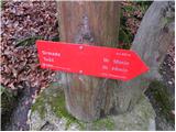 3
3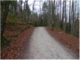 4
4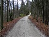 5
5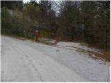 6
6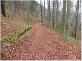 7
7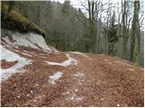 8
8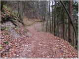 9
9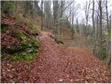 10
10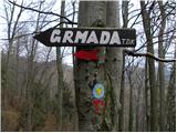 11
11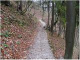 12
12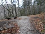 13
13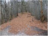 14
14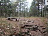 15
15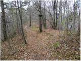 16
16 17
17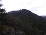 18
18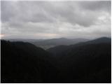 19
19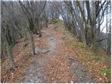 20
20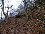 21
21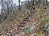 22
22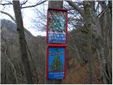 23
23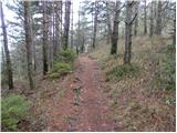 24
24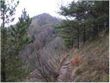 25
25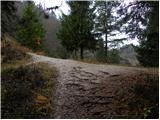 26
26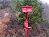 27
27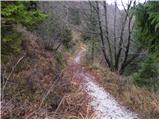 28
28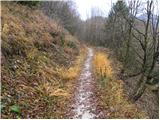 29
29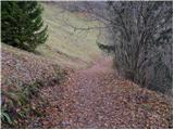 30
30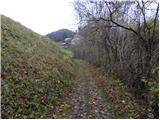 31
31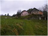 32
32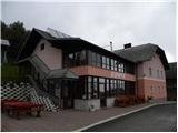 33
33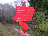 34
34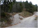 35
35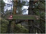 36
36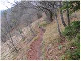 37
37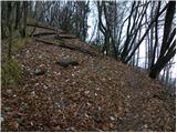 38
38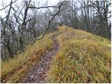 39
39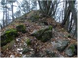 40
40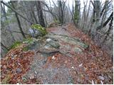 41
41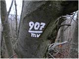 42
42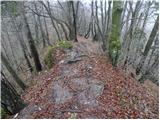 43
43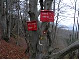 44
44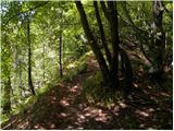 45
45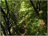 46
46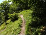 47
47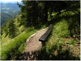 48
48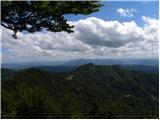 49
49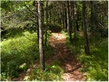 50
50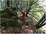 51
51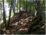 52
52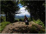 53
53 54
54
Discussion about the trail Topol - Tošč (direct way)
|
| podplat4. 04. 2010 |
Včeraj sva se z ženo odpravila na Tošč. V dolini zoprna megla, višje ko sva šla bolj se je svetlilo. Kmalu naju je obsijalo sonce in tako je bilo vse do vrha Tošča. Na vrhu pa je začelo močno pihati, tako, da sva šla hitro nazaj. Na nekaj mestih je bila pot zelo blatna, dodatno pa so jo zmehčali še orientacijski rekreativci, ki so imeli nekakšno tekmovanje. Drugače pa lepa turca za nadihat se svežega zraka in sprostiti misli. LP Tanja in Borut.
|
|
|