Sveti Jurij - Planinska koča Rak
Starting point: Sveti Jurij (251 m)
| Lat/Lon: | 46,80142°N 16,037°E |
| |
Time of walking: 1 h
Difficulty: easy marked way
Altitude difference: 39 m
Altitude difference po putu: 85 m
Map: Pomurje 1:40.000
Recommended equipment (summer):
Recommended equipment (winter):
Views: 337
 | 1 person likes this post |
Access to the starting point:
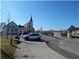
Take the Gederovci (to get here from Radenci or Murska Sobota) and continue driving towards Kuzma. When you arrive in Sveti Jurij, turn right just after the church and park in the parking lot near the church of St. George and the Sveti Jurij Primary School.
Path description:
From the parking lot, continue north and walk parallel to the main road, turn right after the police office and follow the marked road down to the sports ground, and on the other side of the sports ground you will come to a marked crossroads, where you turn left in the direction of Planinska koča Rak (straight ahead Grad).
The way forward is along a folded macadam road, which takes you mostly along the edge of the forest, and at the crossroads you continue straight ahead. When you reach a small hamlet (marked Trnjarec homestead on the maps), where you step onto the asphalt, at the point where the asphalt road turns left, continue right into the forest. The ascent follows a less good macadam road, which initially climbs through the forest and then between two fields to the asphalt road connecting Rogašovci with Gornji Slaveci.
Go left here and then immediately right. There is a short descent, and before the cemetery, which you can see ahead of you, turn left onto the marked path towards the Rak mountain hut. We quickly leave the forest we entered when we left the road, and then continue along the path cart track, which leads us between the fields. The pleasant cart track leads us in a few minutes to the Rak mountain hut, with beautiful views.
Description and pictures refer to March 2021.

Pictures:
 1
1 2
2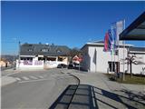 3
3 4
4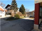 5
5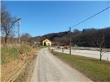 6
6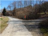 7
7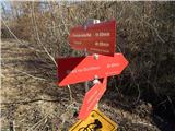 8
8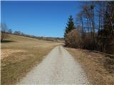 9
9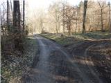 10
10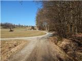 11
11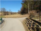 12
12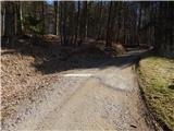 13
13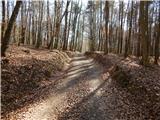 14
14 15
15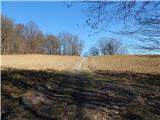 16
16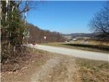 17
17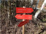 18
18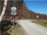 19
19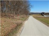 20
20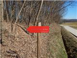 21
21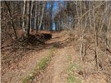 22
22 23
23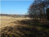 24
24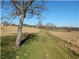 25
25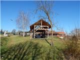 26
26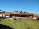 27
27
Discussion about the trail Sveti Jurij - Planinska koča Rak