Sveti Benedikt (Kančevci) - Makotrov breg
Starting point: Sveti Benedikt (Kančevci) (358 m)
| Lat/Lon: | 46,75077°N 16,23409°E |
| |
Time of walking: 1 h
Difficulty: easy marked way
Altitude difference: -39 m
Altitude difference po putu: 50 m
Map: Pomurje 1:40.000
Recommended equipment (summer):
Recommended equipment (winter):
Views: 95
 | 1 person likes this post |
Access to the starting point:
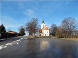
From the road Murska Sobota - Moravske Toplice, in the settlement Martjanci turn left in the direction of Krnce (from the direction of Moravske Toplice turn right). Continue to the settlement Sebeborci, where you turn left towards Ivanovci and in the direction of the house of spirituality Kančevci. Follow the signs for the Kančevci Spirituality Home, where you will park in the large parking lot next to the Spirituality Home and St Benedict's Church.
Path description:
From the parking lot, continue along the road, which starts to descend from the summit to the south-east. At first, we descend with beautiful views, which, with good visibility, reach all the way to the eastern Karawanks, but when we reach the forest, we go slightly left from the road in the direction of the Pomurska mountain trail (straight Moravske Toplice). Walk through the forest for a short distance, then carefully cross another road and continue along a macadam road, along which the markings continue. The road soon returns to the forest, and we leave it to the left on a marked path, which ascends gently, then returns to the road, which we follow to the left. The path continues between the field on the left and the woods on the right, and then transitions gently into the woods. After leaving the forest, in a few minutes you reach an asphalt road which you follow straight ahead (to the right, the hamlet of Gospodov Breg). Follow the asphalt road to the next crossroads, from which you continue straight ahead on a marked forest road, which then becomes cart track, which leads you through the forest with no major changes in elevation. Walk through the forest for a few minutes and then reach a dirt road where the marked path towards Sel turns right and leads on through a large orchard, and we continue left and in a few steps arrive at Makotrov breg, where there is an information board for the trail and, a few steps away, benches and a table.
Description and pictures refer to the situation in February 2022.

Pictures:
 1
1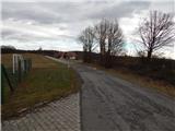 2
2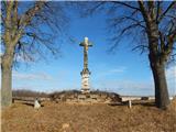 3
3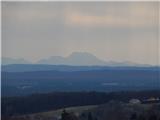 4
4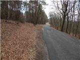 5
5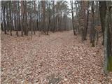 6
6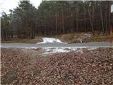 7
7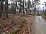 8
8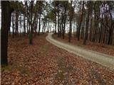 9
9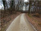 10
10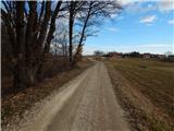 11
11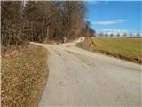 12
12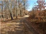 13
13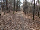 14
14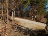 15
15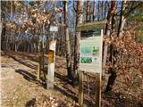 16
16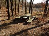 17
17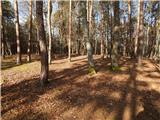 18
18
Discussion about the trail Sveti Benedikt (Kančevci) - Makotrov breg