Suhadole - Koseški hrib (by cart track)
Starting point: Suhadole (331 m)
| Lat/Lon: | 46,1874°N 14,5478°E |
| |
Name of path: by cart track
Time of walking: 40 min
Difficulty: easy unmarked way
Altitude difference: 136 m
Altitude difference po putu: 150 m
Map:
Recommended equipment (summer):
Recommended equipment (winter):
Views: 736
 | 1 person likes this post |
Access to the starting point:
a) Leave the Gorenjska motorway at the Vodice exit and continue driving towards Kamnik. In Moste at Komenda, turn right towards Mengeš, then after about 200 metres turn slightly right onto a side road, which will take you to Suhadole. Park in a small parking lot near the church of St. Clement in Suhadola.
b) From Kamnik or Komenda, drive towards Vodice, and after crossing the main road Brnik - Mengeš, turn left towards Mengeš, then after about 200 metres turn slightly right onto a side road, which will take you to Suhadole. Park in a small parking lot near the church of St. Clement in Suhadola.
c) Drive to Mengeš, then from the main crossroads in the centre of Mengeš, continue driving towards Kranj. A little further on from the main road, turn slightly left onto the road towards Vodice and Topole. When Mengeš ends, the main road towards Vodice soon turns left, and we continue straight ahead on a narrower road, which takes us to Topole and a little further on to Suhadole, where we park in a small parking lot next to the church of St. Clement.
Path description:
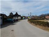
From the church parking lot, continue south, keeping to the right at junctions. After the last houses in the village, the asphalt ends and we continue along the macadam road, which continues along the river Pšata. A little further on, cross the bridge over the river and then turn left just after the bridge. Continue along the Pšata for a short distance, then, as the path enters the forest, cross the right tributary of the river, then follow the signs for Mlinčke. Follow the marked path towards Mlinčki for a few minutes, then at a small crossroads continue along the worse, slightly left-hand road (straight ahead Mlinčki). The way ahead leads along the worse road, which you follow in the right-hand directions at the crossroads. After a few crossroads, the road finally changes to cart track, which starts to climb moderately through the forest. When you reach a faint ridge higher up, join the waymarked path and follow it to the right. A little further on, a marked path joins us from the right, past Mlinčki, and then, passing the last two stations of the "cross-roads of fame" (all stations are along the path from Mlinčki to Koseški hrib), we quickly reach the scenic summit.
Description and pictures refer to the situation in 2017 (February).

Pictures:
 1
1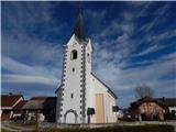 2
2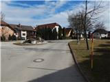 3
3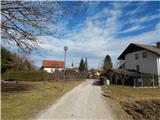 4
4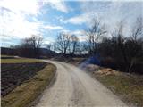 5
5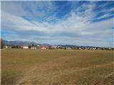 6
6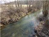 7
7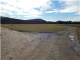 8
8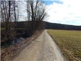 9
9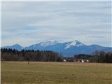 10
10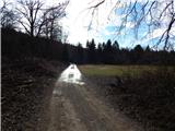 11
11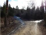 12
12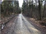 13
13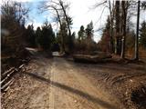 14
14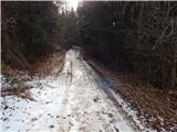 15
15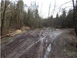 16
16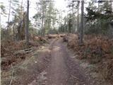 17
17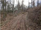 18
18 19
19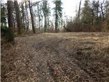 20
20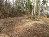 21
21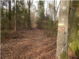 22
22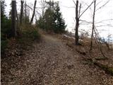 23
23 24
24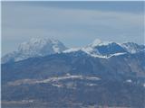 25
25 26
26 27
27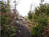 28
28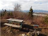 29
29 30
30
Discussion about the trail Suhadole - Koseški hrib (by cart track)