Srednja Kanomlja - Hudournik
Starting point: Srednja Kanomlja (365 m)
| Lat/Lon: | 46,0245°N 13,9636°E |
| |
Time of walking: 3 h 45 min
Difficulty: easy marked way
Altitude difference: 783 m
Altitude difference po putu: 950 m
Map: Škofjeloško in Cerkljansko hribovje 1:50.000
Recommended equipment (summer):
Recommended equipment (winter):
Views: 4.044
 | 1 person likes this post |
Access to the starting point:
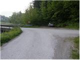
From Logatec, drive to Tolmin or vice versa. In Spodnja Idrija, turn left or right if you are coming from the route of Tolmin and continue driving in the direction of Srednja Kanomlje. At the road marker at approx. 16. 5 km, the road to Klavžy branches off to the left (the branch is marked). Take the road mentioned above, which leads over a small bridge. Park just after the bridge, in a suitable space on the roadside.
Path description:
At the bridge over the Kanomljica River, we see the mountain direction signs for Vojsko, which direct us to the road that climbs slightly parallel to the river. The road soon leads us to the fishermen's home and only a few 10 m further to a small crossroads, where we continue on the lower right road (direction Vojsko). Next, we cross a strong karst spring over a bridge, and then the road starts to climb steeply. After about 20 minutes of walking, we reach the next crossroads, where the road to the left branches off towards the klavžam, and we continue to the right and follow the road to the next farmhouse. Just a few metres before the house, the signs for Vojsko direct us left onto the grassy cart track, which climbs crossways over a grassy slope. Higher up, cart track is briefly lost, and we see a marker in a tree pointing slightly right to the forest edge. The path, which continues along the old cart track, crosses a slightly larger lane of the forest, and then leads to a grassy ridge, over which we reach the NOB monument and, just a few metres further on, the local farm.
Behind the dwelling house, signs lead us left into the wods, where we then climb up the moderately steep cart track. Continue climbing for some time through the dense forest, then through the nettles to reach the Šturmovec farm, where you rejoin the forest road.
Continue along the road, which first gently descends through a large hay field, then enters the forest, where it climbs moderately. Higher up, the road leads to a crossroads, where it continues to the right, and we follow it for another 10 m, to a place where we see a green ramp. Just before the ramp, on the right-hand side, we see the marked cart track, which we continue to climb. Cart track quickly turns into a footpath, which climbs steeply for a short time on an indistinct ridge. Higher up, the path follows the ridge to the left and then continues in a cross-climb to the left. After a few minutes of traversing, you reach a rather ragged ravine where the path splits into three parts. Take the path that climbs as directly as possible above the ravine. After the ravine, cross the pasture and the path leads out of the forest to the edge of the Vojskarska plateau. Continue on the marked path, which quickly leads to the houses and, consequently, to the asphalt road. We continue along the initially quite slippery road, which leads us past the Vojsko ski slope to the Vojsko (Centre of Schol and Extracurricular Activities).
From Vojsko, continue along the road which passes St Joseph's Church on the right and, after a further walk of 10 steps, leads to the inn with accommodation at Medvedov's. Behind the inn, we see signs for the Slovenia Printing House, which direct us to a gently descending and initially still fully asphalted road. The road, which continues along the Vojskarski plateau with a few short ascents and descents, is followed in the direction of the partisan printing house Slovenia, and then, when the road to the printing house turns sharp right, in the direction of Hudournik and the partisan cemetery or burial site. The road continues along the Vojskarski plateau, and after a while leads to a beautifully laid-out partisan cemetery or burial ground. Continue along the road, and we follow it past the last houses to a place where the markers for Hudournik direct us slightly to the right to a folded cart track. Cart track first crosses lane wodland, then leads to a larger meadow where it turns into a pleasant footpath. Continue along the above-mentioned path, which, within a few minutes of further walking, leads us to the panoramic and spacious Hudournik, a grassy slope.

Pictures:
 1
1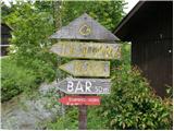 2
2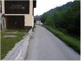 3
3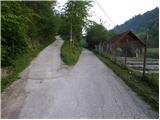 4
4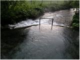 5
5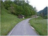 6
6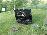 7
7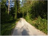 8
8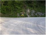 9
9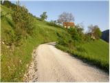 10
10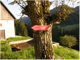 11
11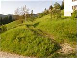 12
12 13
13 14
14 15
15 16
16 17
17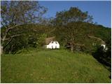 18
18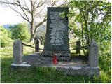 19
19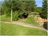 20
20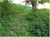 21
21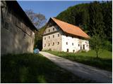 22
22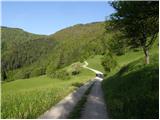 23
23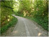 24
24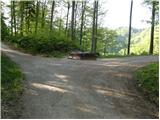 25
25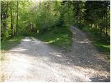 26
26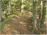 27
27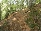 28
28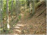 29
29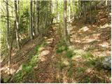 30
30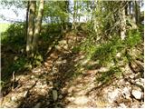 31
31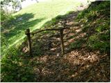 32
32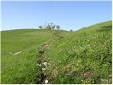 33
33 34
34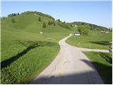 35
35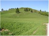 36
36 37
37 38
38 39
39 40
40 41
41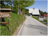 42
42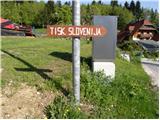 43
43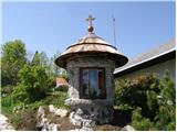 44
44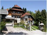 45
45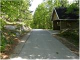 46
46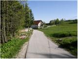 47
47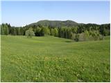 48
48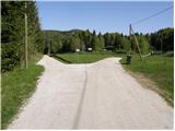 49
49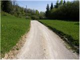 50
50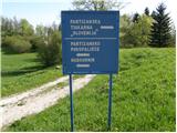 51
51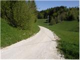 52
52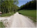 53
53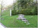 54
54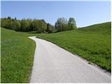 55
55 56
56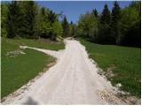 57
57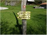 58
58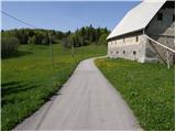 59
59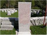 60
60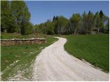 61
61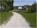 62
62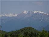 63
63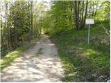 64
64 65
65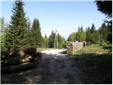 66
66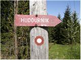 67
67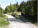 68
68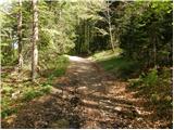 69
69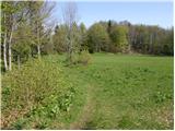 70
70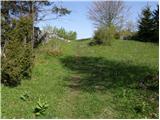 71
71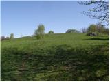 72
72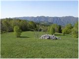 73
73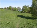 74
74 75
75 76
76 77
77
Discussion about the trail Srednja Kanomlja - Hudournik
|
| Spelcarocket5. 05. 2021 08:20:37 |
Včeraj šla po opisani poti. Dolga a vredna ogleda pot in na koncuše postrežba na vrhu kot je ni v dolini  šnopcomat! Superca 
|
|
|