Spodnja Idrija - Gradišče (above Spodnja Idrija) (via Grič)
Starting point: Spodnja Idrija (305 m)
| Lat/Lon: | 46,0323°N 14,0257°E |
| |
Name of path: via Grič
Time of walking: 2 h
Difficulty: easy unmarked way
Altitude difference: 693 m
Altitude difference po putu: 693 m
Map: Idrijsko in Cerkljansko 1: 50.000
Recommended equipment (summer):
Recommended equipment (winter):
Views: 3.856
 | 1 person likes this post |
Access to the starting point:
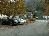
From Ljubljana, we drive towards Idrija. When you reach Idrija, turn right at the second traffic lights towards Spodnja Idrija (4 km). At the beginning of Spodnja Idrija, before the bridge crossing the Idrijca River by the shop, turn right into the parking lot by the cultural centre (larger parking lot). Alternatively, cross the bridge, turn right and park right next to the main road (smaller parking lot).
Path description:
From the small parking lot, head towards the patisserie and the wide stairs next to it. Go up the stairs, cross them and, just before the top, turn right onto the narrower stairs that lead up to the Hill. Continue up the stairs, get a good view of Spodnja Idrija, and at the top step out onto the road and see a direction sign. Continue straight up (it is marked as a more difficult route, but don't worry, apart from a moderate climb there is no sign of any difficulty) where at the last house you step onto a footpath into the wods. After a few dozen metres, the path from Meliny joins us from the left, a little further on at the electricity pole the path splits (view of Pustota), where we continue left along a distinct path (right path, going to the water reservoir and ending there). The beautifully worn traceable path through the forest climbs and after half an hour's walk leads us to cart track.
Turn left on cart track, when after a few hundred metres at a crossroads turn right towards the meadows (the left path goes towards Mrkejce) of the Stajer farm. Continue on cart track past the Stajer farm (a renovated house with a barn and a goat house), crossing a stream (Kogejeva grapa) behind the house, cart track leads on under the weekend, past the orchard in Staje and then into the wods, where you still follow cart track, a few switchbacks in between, and you arrive at the hayfield in Laz (on the edge of which is a tribute chapel). It is about an hour's walk from here.
Follow cart track onwards, where after 10 minutes you can turn left from cart track onto a visible path which leads you under the last serpentine under the farm Na Šnitu (you can also follow cart track, your choice), which comprises a barn, a goat house, a house and a granary. Between them the track turns left and in a quarter of an hour we are on the edge of Šnit (there is a viewpoint a few metres away on the left), and we continue to the far right on the ridge. The path gets a bit lost, but the ridge is our ally and so we follow it up to the cut for the power line, where we follow the ridge path again. Join the road from Kladnik Farm, which leads straight to the top of Gradišče, where the converter is located.

Pictures:
 1
1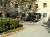 2
2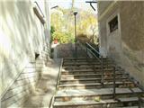 3
3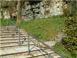 4
4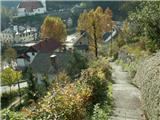 5
5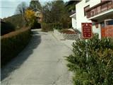 6
6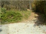 7
7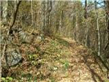 8
8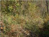 9
9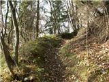 10
10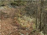 11
11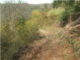 12
12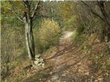 13
13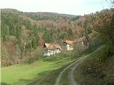 14
14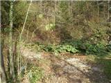 15
15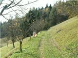 16
16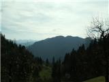 17
17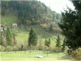 18
18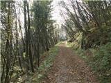 19
19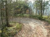 20
20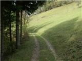 21
21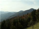 22
22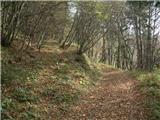 23
23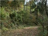 24
24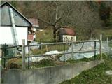 25
25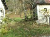 26
26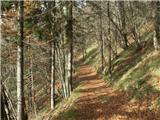 27
27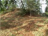 28
28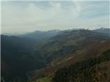 29
29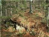 30
30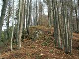 31
31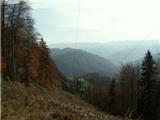 32
32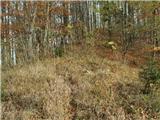 33
33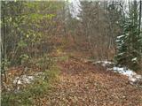 34
34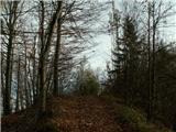 35
35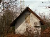 36
36
Discussion about the trail Spodnja Idrija - Gradišče (above Spodnja Idrija) (via Grič)