Sotina - Činčev breg (via the source of mineral water)
Starting point: Sotina (258 m)
| Lat/Lon: | 46,83445°N 16,04097°E |
| |
Name of path: via the source of mineral water
Time of walking: 30 min
Difficulty: easy unmarked way
Altitude difference: 117 m
Altitude difference po putu: 120 m
Map: Pomurje 1:40.000
Recommended equipment (summer):
Recommended equipment (winter):
Views: 241
 | 1 person likes this post |
Access to the starting point:
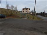
a) Drive to Gederovci (to get here from Radenci or Murska Sobota) and continue driving in the direction of Kuzma. When you arrive in Sotina, pay attention, because the route described above starts at the bus stop, next to which you can see the mountain direction signs. Park in a suitable place nearby.
b) Drive to Kuzma (reachable from Grad, Mačkovci or Petrovci), then continue driving towards Sotina and Austria. When Kuzma ends, there is some climbing and then descending, where you turn left at the junction with the priority road. You will quickly reach Sotina, where you will pass a cemetery, and then about 300 m further on you will arrive at a bus stop, next to which there are mountain direction signs. Park in a suitable place nearby.
Path description:
From the bus stop, continue along the side road, which climbs gently to the north-west, and at a small crossroads go straight ahead. Before the road crosses a small stream, leave it and continue slightly right on a footpath that continues across a meadow. Go around the nearby field on the left, then cross a small bridge to the left side (right bank) of the stream. Walk along the stream, occasionally a few metres above the stream, crossing steeper slopes. A fairly steep path then leads quickly to an interesting peat spring.
From the spring, we continue along a marked path which leads us through an interesting avenue, ending with a marked crossroads.
To the left, the marked trail continues to Sotinski breg, and we go right in the direction of Činčov Brzeg, where we get quite close to the Slovenian-Austrian state border. The cart track climb follows, which turns right a little higher and then climbs crosswise. Cart track soon ends, and we continue in the same direction along an easier potholed track, quickly reaching an indistinct ridge on which we continue our ascent. After a few minutes, when the ridge turns into the folded summit terrain of Činčev breg, a track appears and is followed to the left, which turns right in a semicircle. At the next two crossroads go left to reach the highest point Činčev breg, which is in the forest.
The description and pictures refer to the situation in February 2021.

Pictures:
 1
1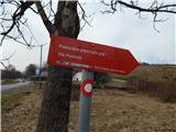 2
2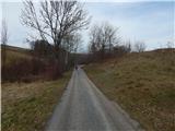 3
3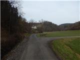 4
4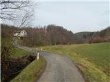 5
5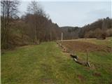 6
6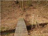 7
7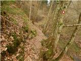 8
8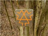 9
9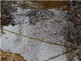 10
10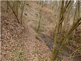 11
11 12
12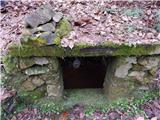 13
13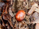 14
14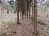 15
15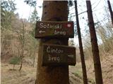 16
16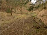 17
17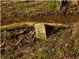 18
18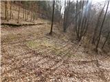 19
19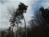 20
20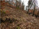 21
21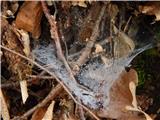 22
22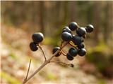 23
23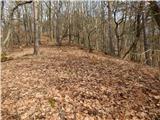 24
24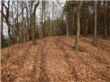 25
25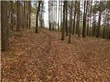 26
26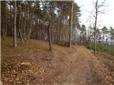 27
27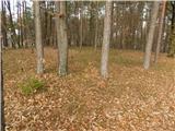 28
28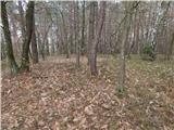 29
29
Discussion about the trail Sotina - Činčev breg (via the source of mineral water)