Sora - Hom (less steep path)
Starting point: Sora (360 m)
| Lat/Lon: | 46,1414°N 14,3703°E |
| |
Name of path: less steep path
Time of walking: 55 min
Difficulty: easy marked way
Altitude difference: 355 m
Altitude difference po putu: 355 m
Map: Ljubljana - okolica 1:50.000
Recommended equipment (summer):
Recommended equipment (winter):
Views: 6.122
 | 2 people like this post |
Access to the starting point:
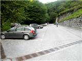
From Medvode or Puštal, drive to the village of Sora, from where you continue to the village of Osolnik. At the end of Sora, park in the parking lot by the road (the parking lot is located under the Church of St. Stephen).
Path description:
At the bottom of the parking lot (fig. 2) a marked path starts through the woods and soon comes back to the road (4). Cross this and continue towards Osovnik (marker higher up on the tree - 6). The marked footpath soon turns left (7) and then climbs through the woods and over stones a few times. Higher up, the path briefly flattens out and gets quite close to the road to Osolnik (13).
Continue slightly right along the marked mountain path, which splits into two parts a little higher up (16). Continue left on a less steep path towards Osolnik (17) (ignoring the sign for Hom), which crosses the slope quite gently higher up (19). A little higher up, a signpost on a tree directs you towards Hom (20) (in case you miss it, there is another sign a few trees later - 21). The marked path, which just below the summit is laid again (24), leads us in a few minutes to the summit (25), from which we have a beautiful view of the Sorško polje and the Kamniško-Savinjske Alps (26).

Pictures:
 1
1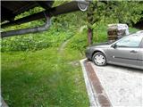 2
2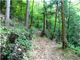 3
3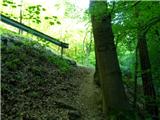 4
4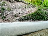 5
5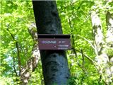 6
6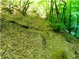 7
7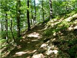 8
8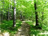 9
9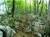 10
10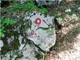 11
11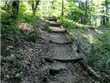 12
12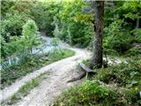 13
13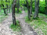 14
14 15
15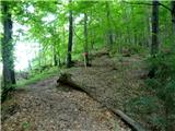 16
16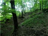 17
17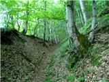 18
18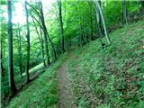 19
19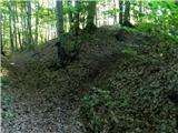 20
20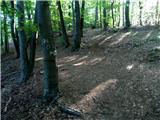 21
21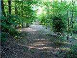 22
22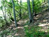 23
23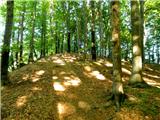 24
24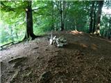 25
25 26
26
Discussion about the trail Sora - Hom (less steep path)