Starting point: Solarji (952 m)
| Lat/Lon: | 46,1803°N 13,6676°E |
| |
Time of walking: 1 h 40 min
Difficulty: easy marked way
Altitude difference: 241 m
Altitude difference po putu: 380 m
Map: Julijske Alpe - zahodni del 1:50.000
Recommended equipment (summer):
Recommended equipment (winter):
Views: 6.972
 | 1 person likes this post |
Access to the starting point:
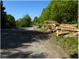
a) From Nova Gorica or Tolmin drive towards Bovec. Just after the roundabout where the routes from Nova Gorica and Tolmin join, you will reach a crossroads where the road to the left branches off towards the Solarji Pass and Kolovrat. The road then leads us to the edge of Volč, where the signpost for the Solarji Pass directs us to the right onto the road, which begins to climb steeply behind the last houses. We continue along the asphalt road which, after a few kilometres of ascent, leads us to the preval, where there is also a crossroads. Here you continue along the lower left-hand road, along which after a few metres you park in a larger parking lot (park in such a way as not to interfere with any forestry work).
b) From Bovec, drive towards Tolmin, and we follow the road to the point where the road to Kolovrat branches off to the right (the branch is marked and is located just before the roundabout where the road to Nova Gorica and Tolmin splits). The road then takes us to the edge of Volč, where a signpost for the Solarji preval directs us right onto the road, which begins to climb steeply behind the last houses. Continue along the asphalt road which, after a few kilometres of ascent, leads us to the preval, where there is also a crossroads. Here you continue along the lower left-hand road, along which after a few metres you park in a larger parking lot (park in such a way as not to interfere with any forestry work).
Path description:
From the parking lot return to the crossroads, and there at the stop sign you will see the start of the trail leading to the top of Na gradu. The path immediately starts to climb, initially leading through bushes (in autumn you will see ripe hazel fruits here), then quickly ascends to the unmarked summit of Platena, from which you descend to the nearby tarmac road. There is a short way along the road, but the signs for the Na gradu peak quickly direct you left onto a path that climbs through lane low forest. The path ahead leads to an old military trail which ascends along a defensive embankment to the grassy slope of the Na gradu summit. At the edge of the meadow, climb up to a small saddle, and from there continue left and after 2 minutes of further walking, you will reach the summit of the peak.
From the top of Na gradu, follow the ascent path back to the nearby saddle, then continue along the well-trodden path that leads past the open-air museum. Here, you descend along caverns and restored ditches to a large meadow, and then begin a steeper climb on the other side. After a few minutes, the steepness eases and the path leads to the broad and folded ridge of Kolovrat, after which we continue on our way, enjoying the beautiful views. There are a few short ascents and descents and the path leads us to Trinški vrh, which we can recognise by the inscription on the sign.
From Trinški vrh we continue along the well-traced and still scenic path, which begins to descend towards the nearby saddle, where the path also touches the Italian road.
Once on the road, take a sharp left and after 10 steps you will reach the Zanuso bivouac.
From the bivouac, return to the saddle and then continue along the steep footpath towards Nagnoje. After a few minutes, the steepness eases and the relatively gentle path quickly leads to the Nagnoj (angle 1176). There is a slight descent, and after a few minutes of moderate ascent on a grassy slope, you reach the top of Nagnoje.

Pictures:
 1
1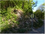 2
2 3
3 4
4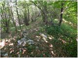 5
5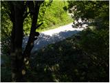 6
6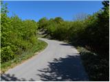 7
7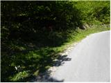 8
8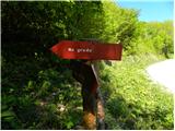 9
9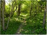 10
10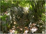 11
11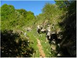 12
12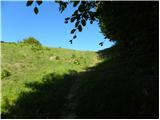 13
13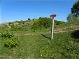 14
14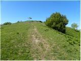 15
15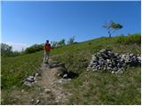 16
16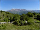 17
17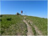 18
18 19
19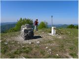 20
20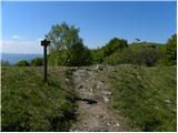 21
21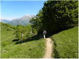 22
22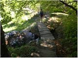 23
23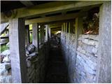 24
24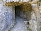 25
25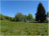 26
26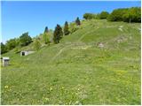 27
27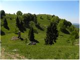 28
28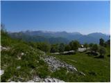 29
29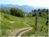 30
30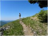 31
31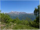 32
32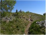 33
33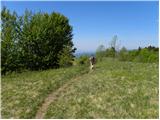 34
34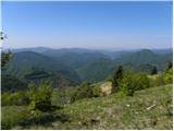 35
35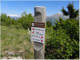 36
36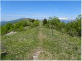 37
37 38
38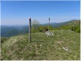 39
39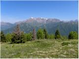 40
40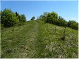 41
41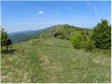 42
42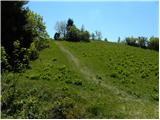 43
43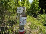 44
44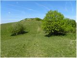 45
45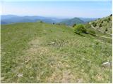 46
46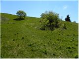 47
47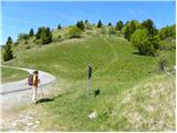 48
48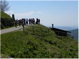 49
49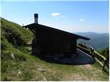 50
50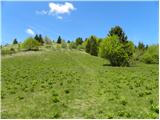 51
51 52
52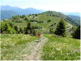 53
53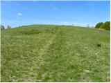 54
54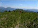 55
55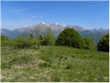 56
56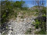 57
57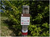 58
58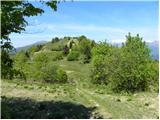 59
59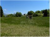 60
60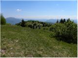 61
61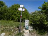 62
62 63
63
Discussion about the trail Solarji - Nagnoj
|
| klavdipo18. 12. 2012 |
Žal je na vrhu Nagnoja uničen žig!
|
|
|
|
| ales5020. 12. 2012 |
Ja tam je narava še vedno uničena od granat in kerozina,leta in leta bo še trajalo,da se popravi
|
|
|
|
| valerija11225. 02. 2015 |
Pozdravljeni! Mogoče otročje vprašanje. Res je kar nekaj nadmorske višine,pa vendar je to primorski konec.
Zanima me, če je pot po kolovratu kopna.
Hvala za komentar.
|
|
|
|
| Tolminc25. 02. 2015 |
@valerija112, to sta fotografiji s Kolovrata izpred tedna dni. Ponekod je bilo snega le nekaj sentimetrov, spet drugje čez kolena. Greben je bil večinoma kopen.
|
|
|