Šmartno - Šmarna gora (path around Šmarna gora)
Starting point: Šmartno (317 m)
| Lat/Lon: | 46,1245°N 14,4798°E |
| |
Name of path: path around Šmarna gora
Time of walking: 1 h 30 min
Difficulty: easy marked way
Altitude difference: 352 m
Altitude difference po putu: 360 m
Map: Ljubljana - okolica 1:50.000
Recommended equipment (summer):
Recommended equipment (winter): ice axe, crampons
Views: 9.960
 | 1 person likes this post |
Access to the starting point:
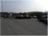
From the Ljubljana - Jesenice motorway, take the Šmartno exit and then, at the beginning of Šmartno, drive towards the nearby cemetery, where you can park.
Path description:
From the cemetery parking lot, turn onto the one-way road and walk past the church to the next crossroads. Here, continue straight across the road (Tacen on the left, Bizeljčan Inn on the right) to the nearby mountain signpost. Signs for Šmarna gora direct you to a narrower road that begins to climb between the houses. After a short ascent, we arrive at a small crossroads, where the signs for Šmarna gora direct us to the right on a gradually quite steep road, which turns into a forest mountain trail at the last house. Continue climbing through the forest for some time, then arrive at a marked crossroads, where you continue right (left Šmartinska cesta, straight up Partizanska pot) on cart track, which first slightly descends, then begins to climb crosswise to the right. Cart track continues to climb and then gradually turns more and more to the left, passing through the forest most of the time. Higher up, you will see a left fork where one of the paths to Šmarna gora branches off and continue in the same direction. Just a little further on, the path from Povodje and Skaručna joins almost imperceptibly from the right, and we continue along the wide path, which continues over slightly steeper slopes. Just a little further on, the path climbs steeply for a short time and then leads us to the Turk's Mark.
Here we continue straight on (left steeply up another of the paths to Šmarna gora) and continue on the path which climbs steeply across. Higher up, the path curves slightly further to the left and leads us out of the forest onto grassy slopes. Here, first cross the grazing fence, then walk to a crossroads with a view of Grmada, where you join a lesser road leading to the top of Šmarna gora. Follow the road to the left and climb to the top in a few minutes.

Pictures:
 1
1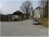 2
2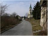 3
3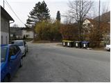 4
4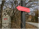 5
5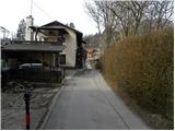 6
6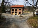 7
7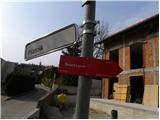 8
8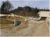 9
9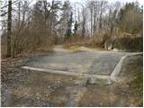 10
10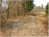 11
11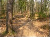 12
12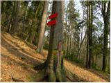 13
13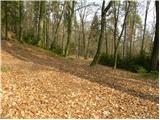 14
14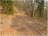 15
15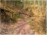 16
16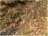 17
17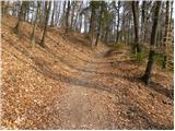 18
18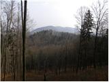 19
19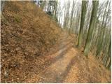 20
20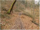 21
21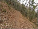 22
22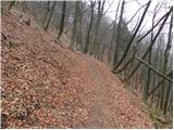 23
23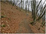 24
24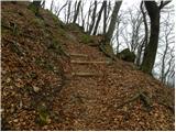 25
25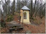 26
26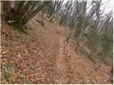 27
27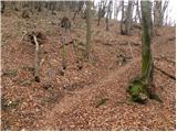 28
28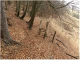 29
29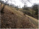 30
30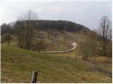 31
31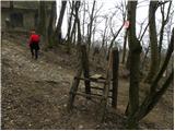 32
32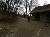 33
33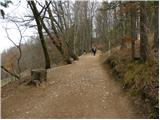 34
34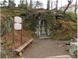 35
35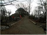 36
36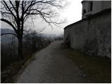 37
37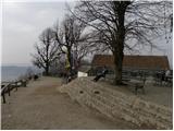 38
38 39
39
Discussion about the trail Šmartno - Šmarna gora (path around Šmarna gora)