Šmartno na Pohorju - Majalova kapelica
Starting point: Šmartno na Pohorju (780 m)
| Lat/Lon: | 46,44504°N 15,54013°E |
| |
Time of walking: 45 min
Difficulty: easy marked way
Altitude difference: 43 m
Altitude difference po putu: 60 m
Map: Pohorje 1:50.000
Recommended equipment (summer):
Recommended equipment (winter):
Views: 257
 | 1 person likes this post |
Access to the starting point:
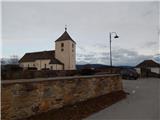
Leave the Styrian motorway at exit Slovenska Bistrica south or north (depending on which direction you are coming from), then drive into the centre of Slovenska Bistrica, from where you take the road in the direction of Šmartno to Pohorje. There is a climb of a few kilometres, and we follow the road towards this settlement. When we reach Šmartno na Pohorju, we park in a small parking lot next to the cemetery and St Martin's Church.
Path description:
From the parking lot, walk a few steps to the main road leading through the village, and follow it to the right, where you will also find signs. Walk through the centre of the village for a short distance and then, taking in the beautiful views, walk to a small crossroads, next to a slightly larger chapel.
Here we continue straight on (right Ruška koča na Arehu - path over Frajhajm) and a few minutes further on we reach the next marked crossroads, from which we also continue straight on (left Sv. Trije kralji) and climb moderately past individual houses and the Dovnik guesthouse. Cross a strip of forest and then descend slightly to a crossroads where you continue right towards Areh and Bojtina.
After the crossroads, the road descends a little more, and a marked trail branches off to the right downhill towards Areh, and we continue along the road, which continues to descend moderately to the nearby crossroads. When we reach the crossroads, we continue straight on (the right road leads on towards Areh), where we pass the information board of the forest nature trail, which is located at the crossroads, and just a little further on we cross a small stream, and after it we continue on the slightly left road (also on the right road we arrive at the Majal homestead), which leads us a little further out of the woods. When we step out of the forest on the right, we see Majal's chapel on a small rise, and we continue along the road, which leads us through a narrower belt of forest to the Majal homestead.
Here we go right and walk alongside the homestead to the nearby chapel.
Description and pictures refer to January 2022.

Pictures:
 1
1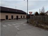 2
2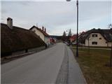 3
3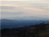 4
4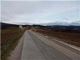 5
5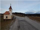 6
6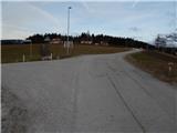 7
7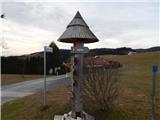 8
8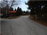 9
9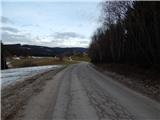 10
10 11
11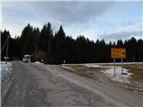 12
12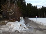 13
13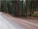 14
14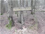 15
15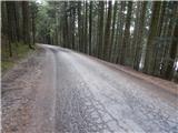 16
16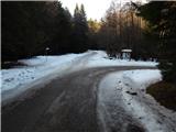 17
17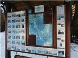 18
18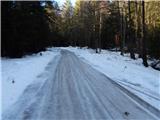 19
19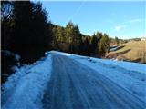 20
20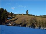 21
21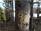 22
22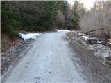 23
23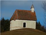 24
24
Discussion about the trail Šmartno na Pohorju - Majalova kapelica