Slovenska vas - Sveta Trojica
Starting point: Slovenska vas (567 m)
| Lat/Lon: | 45,7011°N 14,2114°E |
| |
Time of walking: 2 h 15 min
Difficulty: easy marked way
Altitude difference: 539 m
Altitude difference po putu: 600 m
Map: Snežnik 1:50.000
Recommended equipment (summer):
Recommended equipment (winter):
Views: 18.904
 | 2 people like this post |
Access to the starting point:
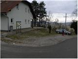
From the motorway Ljubljana - Koper, take the exit Postojna and then continue in the direction of Pivka and Ilirska Bistrica. When you reach the village of Petelinje, leave the main road and turn left in the direction of Slovenske vas. Following a slightly narrower road, you will quickly arrive in the village, where you will park next to the Beekeeping Education Centre Slovenska vas.
Path description:
At the starting point, you will see signs for Petelinjsko jezero and Sveta Trojica, which direct you to the right onto a gradually deteriorating macadam road. The road climbs gently at first and then begins to descend. After a few minutes of descending, you arrive at a small crossroads where the signs for Sveta Trojica direct you sharp left. The route continues along the dirt road, which leads across vast meadows where you can observe the growth of numerous pine and juniper trees. A little further on, you will come to a crossroads, where the marked footpath to Sveta Trojica branches off to the right (and the road to Petelinjsko jezero continues straight ahead - 2 minutes).
Continue towards Sveta Trojica and follow the path through the lane of bushes forest. The path then leads out of the forest, where it turns left and continues for a short distance along a pasture fence. A few 10 metres further on, you come to a pasture gate, through which you continue on the path. We continue climbing gently for some time across the open pasture, and then the path gradually begins to climb steeply over the pasture slopes. As you leave the pasture higher up, bear left, first along cart track and then along a dirt road. Continue along the road for some time, and we follow it to a small crossroads where a minor forest road branches off to the right, to which we are also directed by signs. Higher up, the road gradually changes to cart track, which leads us through a rare pine groove surrounded by numerous juniper bushes. The folded cart track turns after a while into a pleasant path, which soon leads us to a forest road, which we just cross. Continue in the route Sveta Trojica and continue through the forest, which thins out higher up. As the path has a few forks in this part, follow the signs carefully. The path then lies completely flat and leads to a larger meadow, in the middle of which stands a hunting observation post.
Here, the path from the higher starting point joins us from the left, and we continue slightly to the right in the direction of the summit, which is still a 45-minute walk away.
The way forward continues along the cart track, which leads us through some unmarked crossroads to the place where the path from Vlačne joins us from the right. Continue along the partly stony cart track, which crosses another forest road higher up. A little further on, cart track turns into a moderately steep footpath, which quickly leads us out of the forest and onto the top grassy slope of the mountain. Here the path turns slightly to the left and, with increasingly beautiful views of the Pivka basin and the surrounding hills, quickly leads to the summit, in the middle of which stands the restored Holy Trinity Church.

Pictures:
 1
1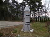 2
2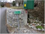 3
3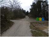 4
4 5
5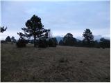 6
6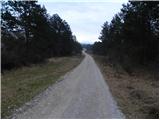 7
7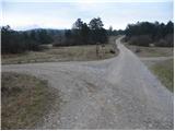 8
8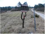 9
9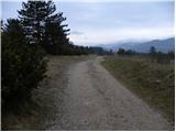 10
10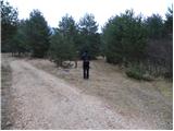 11
11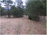 12
12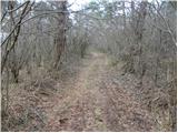 13
13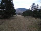 14
14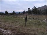 15
15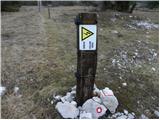 16
16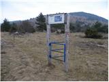 17
17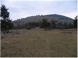 18
18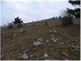 19
19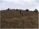 20
20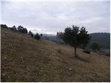 21
21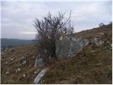 22
22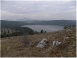 23
23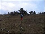 24
24 25
25 26
26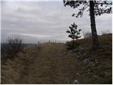 27
27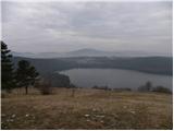 28
28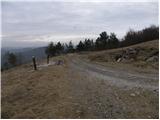 29
29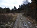 30
30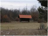 31
31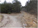 32
32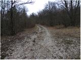 33
33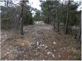 34
34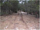 35
35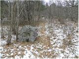 36
36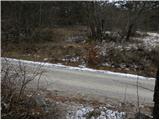 37
37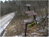 38
38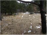 39
39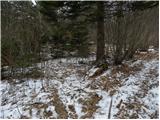 40
40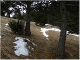 41
41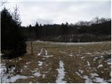 42
42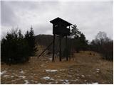 43
43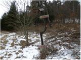 44
44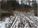 45
45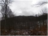 46
46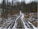 47
47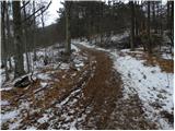 48
48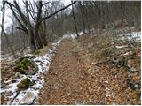 49
49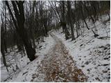 50
50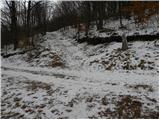 51
51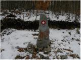 52
52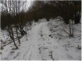 53
53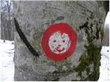 54
54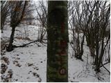 55
55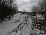 56
56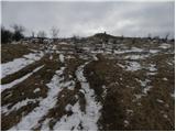 57
57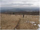 58
58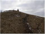 59
59 60
60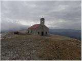 61
61 62
62
Discussion about the trail Slovenska vas - Sveta Trojica