Starting point: Škrbina (1227 m)
| Lat/Lon: | 45,9863°N 13,8871°E |
| |
Time of walking: 2 h
Difficulty: easy marked way
Altitude difference: 268 m
Altitude difference po putu: 350 m
Map: Goriška 1:50.000
Recommended equipment (summer):
Recommended equipment (winter): ice axe, crampons
Views: 15.055
 | 1 person likes this post |
Access to the starting point:
First we drive to Idrija and then we continue in the direction of Vojsko. After about 14 km drive from Idrija, on a road that initially climbs quite steeply, you reach the centre of the village, from where you continue driving left towards Mrzla Rupa, Hudé Polje and Lokve. The road soon starts to descend more visibly and drops by about 200 metres, then levels off and leads to Mrzle Rup (which can also be reached from Gorenje Trebusa). Continue driving towards Hudy Polje and Lokve along the road, which again starts to climb moderately. Higher up, we reach Huda Polje, and we continue driving on the asphalted road, which leads us past the Sunny Edge to the junction of several roads, where the asphalt ends. Here we park in a suitable place near the junction.
Path description:
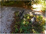
From the crossroads, continue along the dirt road past the gate marked "Golaki". At the first left turn, leave the road and the signs direct you to the right onto the footpath.
Further on, a relatively narrow and in some places slightly overgrown path leads through the forest. At the beginning the path is quite sloping and even slightly descends in short sections. Later on, we only start to climb a little steeper and the path also becomes less overgrown, only occasionally we have to cross a fallen tree. The path then leads us through the forest for quite some time and leads us in the last part to the main ridge of Golakov. Here the path turns right and climbs gently along the ridge through the forest. Higher up, the path leads us out of the forest into the dwarf pines and bushes. Here we start to get beautiful views of the surrounding hills. In good weather, you can see the sea, the Julian Alps and even the Dolomites.
After a short climb through dwarf pines, we soon reach the undistinguished peak of Srednji Golak.
From the summit, continue along the ridge behind the "Hut" markers and start descending. From dwarf pines you will re-enter the forest and then climb mostly on a slightly overgrown track. Later on, there is a slight descent, followed by a final climb that leads to a viewpoint.

Pictures:
 1
1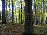 2
2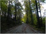 3
3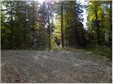 4
4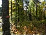 5
5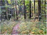 6
6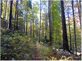 7
7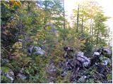 8
8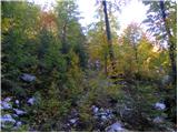 9
9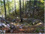 10
10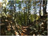 11
11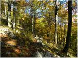 12
12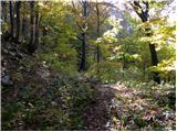 13
13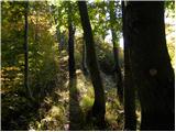 14
14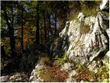 15
15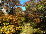 16
16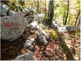 17
17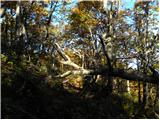 18
18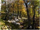 19
19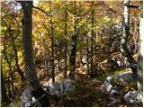 20
20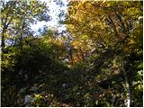 21
21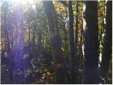 22
22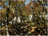 23
23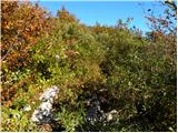 24
24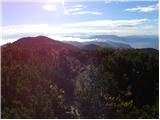 25
25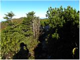 26
26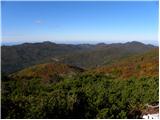 27
27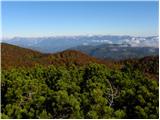 28
28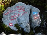 29
29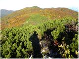 30
30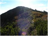 31
31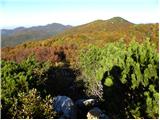 32
32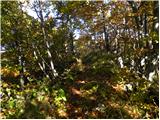 33
33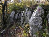 34
34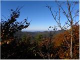 35
35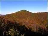 36
36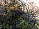 37
37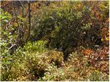 38
38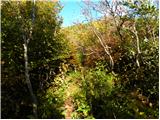 39
39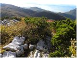 40
40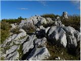 41
41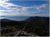 42
42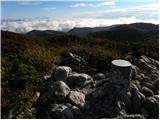 43
43 44
44
Discussion about the trail Škrbina - Mali Golak