Škofja Loka - Kamnitnik (above Škofja Loka) (ridge path around Kamnitnik)
Starting point: Škofja Loka (353 m)
Name of path: ridge path around Kamnitnik
Time of walking: 40 min
Difficulty: easy unmarked way
Altitude difference: 73 m
Altitude difference po putu: 73 m
Map:
Recommended equipment (summer):
Recommended equipment (winter):
Views: 1.680
 | 4 people like this post |
Access to the starting point:
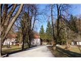
We drive to the former military barracks in Škofja Loka, where we park.
Path description:
From the starting point, first walk to the crossroads and then turn left. The trail slowly climbs moderately, when it joins the macadam road after 30 seconds of walking turn left and you are already at the top of Veliki Kamntinika.
From the top, follow the same path down to the crossroads and continue towards the climbing area. Shortly before the climbing area, turn onto the path that takes you to Malý Kamnitnik (417 m) and continue through the forest. When you reach the cave, continue along the road and past the tavčar's cave, or follow the dirt track to the parking lot (shorter route).
Pictures:
 1
1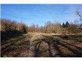 2
2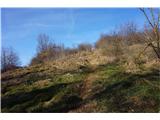 3
3 4
4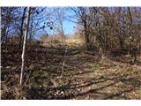 5
5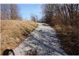 6
6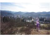 7
7 8
8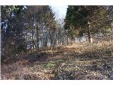 9
9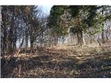 10
10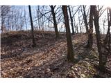 11
11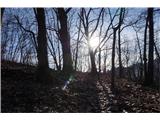 12
12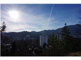 13
13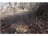 14
14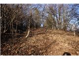 15
15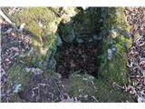 16
16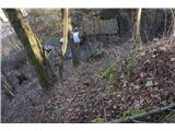 17
17
Discussion about the trail Škofja Loka - Kamnitnik (above Škofja Loka) (ridge path around Kamnitnik)