Starting point: Skaručna (332 m)
| Lat/Lon: | 46,1513°N 14,4804°E |
| |
Time of walking: 1 h 50 min
Difficulty: easy marked way
Altitude difference: 344 m
Altitude difference po putu: 380 m
Map: Ljubljana - okolica 1:50.000
Recommended equipment (summer):
Recommended equipment (winter): ice axe, crampons
Views: 5.301
 | 1 person likes this post |
Access to the starting point:
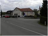
a) From the Ljubljana - Jesenice motorway, take the Ljubljana - Šmartno exit, and follow the road to the settlement, where you turn right onto the road leading to Vodice. Follow the road to Skaručna, where our route begins. You can park in a small parking lot next to the cemetery or somewhere near the church.
b) From the motorway Ljubljana - Jesenice, take the exit Vodice and continue driving towards Vodice. At the semaphoreised intersection in Vodice, turn right towards Skaručna. When you reach Skaručna, pay attention to the right turn-off leading to the nearby cemetery. The cemetery is also the best place to park.
Path description:
From the cemetery, walk to the main road, and from there turn right towards Ljubljana. After about 100 m you will reach a kindergarten, near which is the Church of St. Lucy. Just 10 m after the kindergarten, leave the main road and turn right onto a dirt road, which quickly leads to an overpass over the motorway. From the overpass, or a little earlier, we have a nice view of Šmarna gora on the left and Kamnik Savinja Alps on the right. Just after the bridge, turn left and follow the dirt road parallel to the motorway. As you approach the Povodje motorway lay-by, the road turns slightly right into the forest. The road, along which you can already see the first markings, is only followed for a short distance, as the initially few markings then direct you slightly left onto a winding path that continues through the forest. We walk along the completely folded path for a while, and then the path from Rašica or Povodja joins us from the left.
Continue straight ahead, cross the Gračenica stream, and then start climbing steeply. The path ahead leads us under a power line, a little further on it returns to the forest and crosses a macadam road. A little above the road, we join the logging trail wall, which we gradually start to climb steeper and steeper. At a higher altitude, leave the cart track and climb a slightly steeper path in a few minutes to a path that almost encircles Šmarna Gora. Follow the path to the right, and it will lead you over relatively steep slopes to the Turk's sign.
Continue straight ahead (left steeply up Šmarna gora - steep path) and continue along the path which climbs crosswise. Higher up, the path turns slightly more to the left and leads out of the forest onto grassy slopes. Here, first cross the pasture fence, then walk to the crossroads with a view of Grmada, where you join the worse road leading from Zavrh to Šmarna gora.
When you reach the road, continue right downhill (left top of Šmarna gora for 5 minutes) and descend to nearby Sedlo. Here continue left down towards Tacno, and when the path turns into the forest continue right towards Grmada. The ascent continues along a slightly steeper path, which first climbs through the forest, then turns into a partially overlooked ridge, which in a few 10 steps of further walking you will climb to the top of Grmada.

We can extend the trip to the following destinations: Šmarna gora
Pictures:
 1
1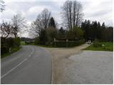 2
2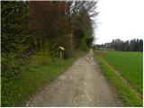 3
3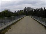 4
4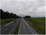 5
5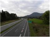 6
6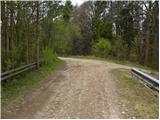 7
7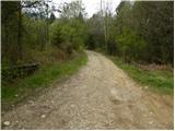 8
8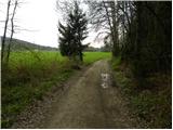 9
9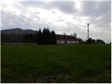 10
10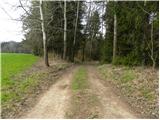 11
11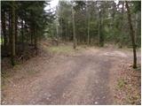 12
12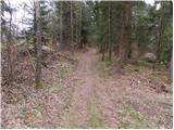 13
13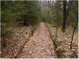 14
14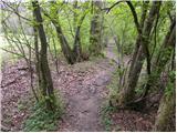 15
15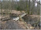 16
16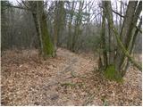 17
17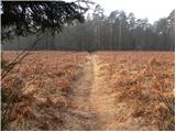 18
18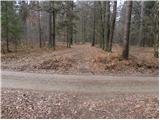 19
19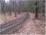 20
20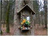 21
21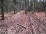 22
22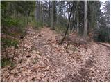 23
23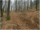 24
24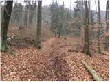 25
25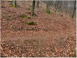 26
26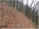 27
27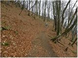 28
28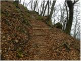 29
29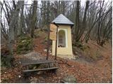 30
30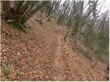 31
31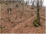 32
32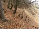 33
33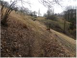 34
34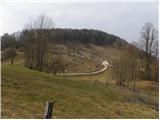 35
35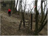 36
36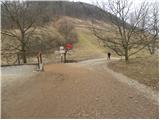 37
37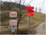 38
38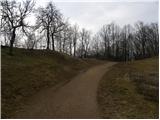 39
39 40
40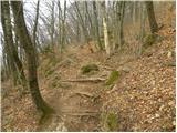 41
41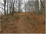 42
42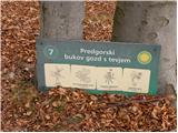 43
43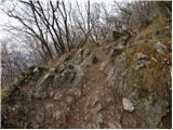 44
44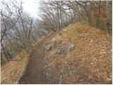 45
45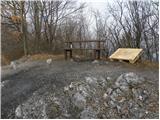 46
46 47
47 48
48
Discussion about the trail Skaručna - Grmada