Serdica - Serdiški breg (Rdeči breg)
Starting point: Serdica (239 m)
| Lat/Lon: | 46,81596°N 16,02702°E |
| |
Time of walking: 40 min
Difficulty: easy marked way
Altitude difference: 177 m
Altitude difference po putu: 177 m
Map:
Recommended equipment (summer):
Recommended equipment (winter):
Views: 4.602
 | 1 person likes this post |
Access to the starting point:
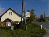
a) First, drive to Maribor, then continue along the Pomurska motorway towards Murska Sobota. Leave the motorway at the Sveti Jurij ob Ščavnici exit and continue driving towards Radenice. At Radenci turn left towards Gornja Radgona and then soon right towards Gederovci. From Gederovci continue straight on towards Krajna and Skakovci, and in Skakovci turn left towards Cankova. Continue through the villages of Breg, Krašči, Pertoča, Rogašovci to the village of Serdica. Here you will see signs for Serdiški breg and a small parking lot next to them, where you park.
b) From Murska Sobota drive to Gederovci, then continue driving to Skakovci, Cankova, Krašči, Pertoča Rogašovci to the village of Serdica. Here you will see signs for Serdiški breg and a small parking lot next to it, where you park.
Path description:
From the parking lot, follow the road towards Serdiškje brega. The road runs almost horizontally at first, then leads to the fire house, after which it gradually starts to climb. Higher up, the road starts to climb a little more steeply, but it leads us past a small hamlet. The road then continues towards a nearby ridge, where we also come to a crossroads, at which stands a small cross. Here we continue to the right along the road, which is completely laid for a while, and then begins to climb steeply again. The steepness soon eases, and the road leads to the next crossroads, where markings direct us left, onto another steeper road. Follow this road, which climbs past the "last" house, to its end at a wooden log cabin. Just before the log cabin, turn left and in a few steps you will reach the 416 m high summit.
Pictures:
 1
1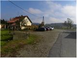 2
2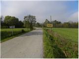 3
3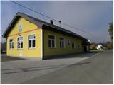 4
4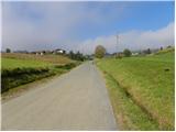 5
5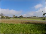 6
6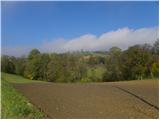 7
7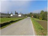 8
8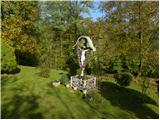 9
9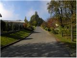 10
10 11
11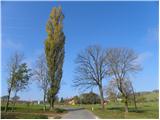 12
12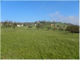 13
13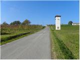 14
14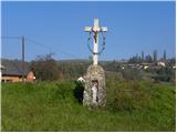 15
15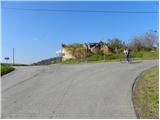 16
16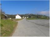 17
17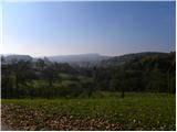 18
18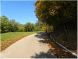 19
19 20
20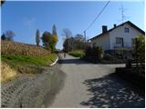 21
21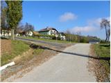 22
22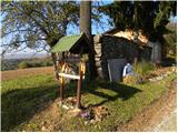 23
23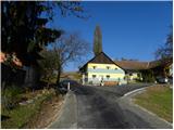 24
24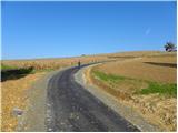 25
25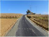 26
26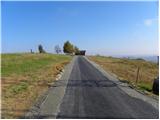 27
27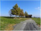 28
28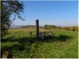 29
29
Discussion about the trail Serdica - Serdiški breg (Rdeči breg)