San Martino - Rifugio Colverde
Starting point: San Martino (1586 m)
| Lat/Lon: | 46,26921°N 11,80406°E |
| |
Time of walking: 1 h 10 min
Difficulty: easy marked way
Altitude difference: 379 m
Altitude difference po putu: 385 m
Map: Tabacco 22 1:25.000
Recommended equipment (summer):
Recommended equipment (winter):
Views: 1.886
 | 3 people like this post |
Access to the starting point:
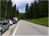
From Nova Gorica, drive into Itali and follow the motorway to Portogruaro, where you will take the motorway fork towards Belluno. Follow the motorway to the exit for Belluno, and after Belluno we follow the road towards Feltre and then towards Transacqua and the Passo Rolle Pass. The ascending road then takes us through San Martino. From the signpost marking the end of San Martino, continue for about 1km and you will see a small parking lot on the left hand side of the road.
Path description:
At the starting point, you will see a signpost on the right hand side of the road, directing you to the right on the footpath towards mountain pasture Malga Pala. The path leads quickly into the forest through which it then climbs gently for some time. Later the path turns right and after a short climb leads to a marked crossroads.
To the left, the path leads to the Passo Rolle pass, and we continue to the right towards mountain pasture Malga Pala. The path then crosses the slopes to the south-east and the path opens up to beautiful views of San Martino and the surrounding peaks. The trail then turns slightly to the left and starts to climb slightly steeper in keys through the forest. Later, the path becomes a little less steep and continues through the forest. This path then leads us to a crossroads just before mountain pasture, where we are joined on the right by a path from a slightly lower starting point in San Martino. From the crossroads it is then only a short climb to the hut at mountain pasture Malga Pala.
At mountain pasture, continue to the right along a sloping road which soon leads to the ski slopes. Here, continue slightly left and there is a short climb up to the Colverde hut where the cable car stops.

Pictures:
 1
1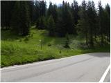 2
2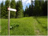 3
3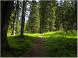 4
4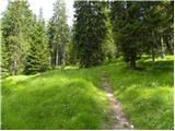 5
5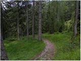 6
6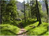 7
7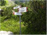 8
8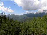 9
9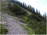 10
10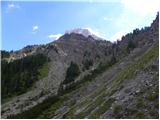 11
11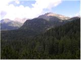 12
12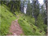 13
13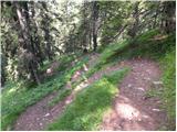 14
14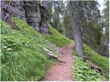 15
15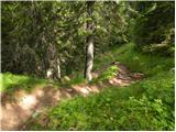 16
16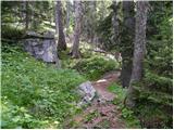 17
17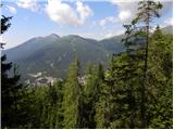 18
18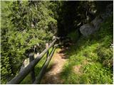 19
19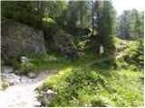 20
20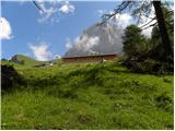 21
21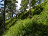 22
22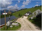 23
23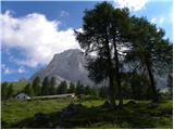 24
24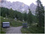 25
25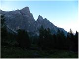 26
26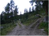 27
27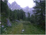 28
28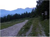 29
29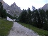 30
30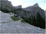 31
31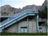 32
32 33
33
Discussion about the trail San Martino - Rifugio Colverde