Rudenska grapa - Kosmati vrh (Ratitovec) (via hunting cottage Na Toli and over Jesenovec)
Starting point: Rudenska grapa (750 m)
| Lat/Lon: | 46,2526°N 14,1454°E |
| |
Name of path: via hunting cottage Na Toli and over Jesenovec
Time of walking: 4 h
Difficulty: easy marked way
Altitude difference: 893 m
Altitude difference po putu: 1080 m
Map: Škofjeloško in Cerkljansko hribovje 1:50.000
Recommended equipment (summer):
Recommended equipment (winter): ice axe, crampons
Views: 580
 | 1 person likes this post |
Access to the starting point:
First we drive to Škofja Loka, then continue driving towards Železniki. In Železniki turn right for the route Rudno, Dražgoše and Bohinjska Bistrica. Towards Dražgoše, drive to Rudno, then turn slightly left towards Bohinjska Bistrica. Continue along the macadam road as it climbs through Rudensko grapa. Higher up, the road turns sharp left and climbs above the ravine. Follow this road until the 4 km marker, where there is a suitable place to leave the car on the left.
Path description:
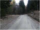
From the starting point continue along the road, which soon makes a sharp right turn, after which you arrive at a small crossroads, where you continue left in the route Prtovč (straight Rovtarica). Continue up the relatively steep asphalt road, which will take you to the homestead Novake (Dražgoše 1) in a few minutes. At the homestead, signs point us slightly right (sharp right back to the Rudno - Bohinjska Bistrica road) on a path that climbs gently across a meadow and then into the forest. Continue climbing for a short distance, then cross over to the other side of the ridge, where the path turns right and gradually begins to descend. At a lower level you reach a dirt road, which you follow to the right, and we follow it to its end, where it becomes cart track.
From the end of the road, continue slightly right on a marked footpath which first ascends and then descends to the nearby cart track. Cart track has a few forks further on, but we follow the markings carefully everywhere. A little further on, cart track ends, and we continue for about 100 m along a less visible path that crosses steep slopes. After a good 100 m, we reach another cart track and continue crossing it. Continue on the cart track, which is followed at several crossroads in the route indicated by the signs. Further on, cart track crosses a few clearings, and a little further on leads us to a grassy slope overlooking the village of Podlonk. Here the marked path turns to the right and starts to climb steeply. Higher up, we cross another larger meadow, and the path then returns to the forest and leads us to the Hunting Hut at Tola.
At the hunting lodge, step onto the road and walk a few steps to the crossroads. At the crossroads, turn right (left Prtovč) and continue walking along the macadam road. After about 35 minutes of walking from the hunting lodge, you will reach a ridge where you will see a small memorial by the road, and to your right you will get some views towards Železniki. Here the road stops climbing, and we reach the marked path Raztovka - Ratitovec, which we follow left into the forest. After a short climb, we reach cart track, after which we quickly reach a marked crossroads where we continue slightly left (slightly right mountain pasture Klom).
Continue in the direction of Kosmati vrh, following the path which gradually becomes a wooded ridge. The path climbs quite steeply for a short time, then leads out of the forest to the grazing areas of the aforementioned summit. Here the path partly disappears and turns slightly to the left, where it passes onto the summit slope Kosmati vrh. The track then disappears completely and we continue southwards, or south-westwards. To help us find our way, there are markings on the rocks, but they are not visible in the fog, which makes orientation a little more difficult. Follow this "path", which climbs moderately to steeply, all the way to the lookout Kosmati vrh, which is reached after a good 15 minutes of further walking.
Starting point - hunting lodge at Tola 2:25, hunting lodge at Tola - Kosmati vrh 1:35.

Pictures:
 1
1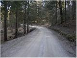 2
2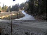 3
3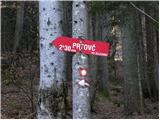 4
4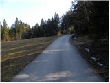 5
5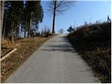 6
6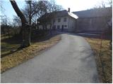 7
7 8
8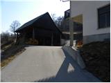 9
9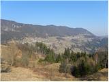 10
10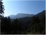 11
11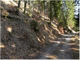 12
12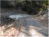 13
13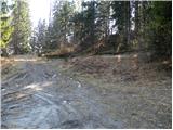 14
14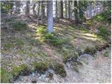 15
15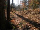 16
16 17
17 18
18 19
19 20
20 21
21 22
22 23
23 24
24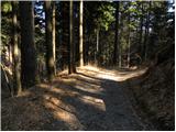 25
25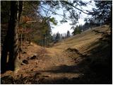 26
26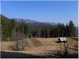 27
27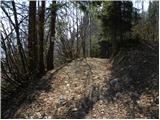 28
28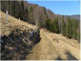 29
29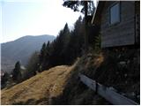 30
30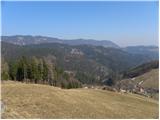 31
31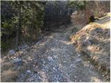 32
32 33
33 34
34 35
35 36
36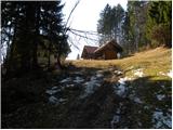 37
37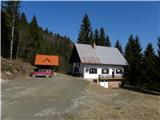 38
38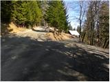 39
39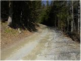 40
40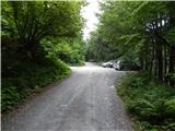 41
41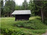 42
42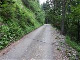 43
43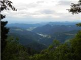 44
44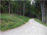 45
45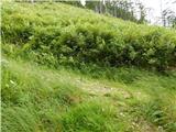 46
46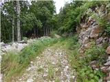 47
47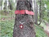 48
48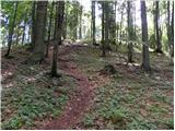 49
49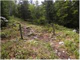 50
50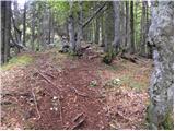 51
51 52
52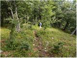 53
53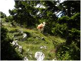 54
54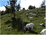 55
55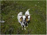 56
56 57
57 58
58 59
59 60
60 61
61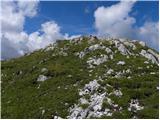 62
62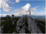 63
63
Discussion about the trail Rudenska grapa - Kosmati vrh (Ratitovec) (via hunting cottage Na Toli and over Jesenovec)
|
| tulipan26. 08. 2019 |
Tudi do slike 3 je cesta asfaltirana!
|
|
|